
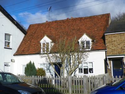
123, High Street, building in Watton-at-Stone, East Hertfordshire, Hertfordshire, UK
Location: Watton-at-Stone
Address: 123, High Street, Watton-at-Stone, East Hertfordshire, Hertfordshire, SG14
GPS coordinates: 51.85670,-0.10957
Latest update: March 6, 2025 01:17
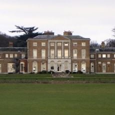
Woodhall Park
1.4 km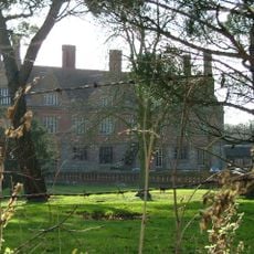
Aston Bury
3.6 km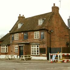
The Tilbury
3.5 km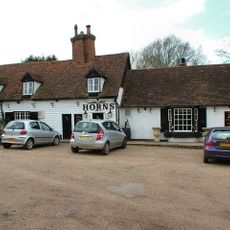
The Horns Public House
3.7 km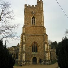
Church of St Andrew and St Mary
382 m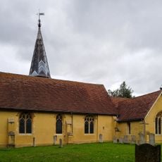
Church of St Mary the Virgin
2.6 km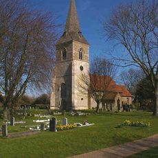
Church of All Saints
3.5 km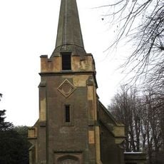
Church of St Andrew
3.8 km
Queen Hoo Hall
3.9 km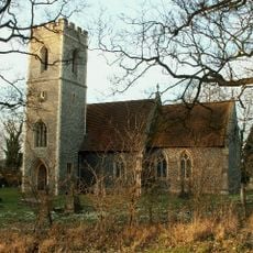
Church of St Katherine
3.3 km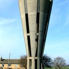
Tonwell Water Tower (pronounced ('Tunnel')
3.7 km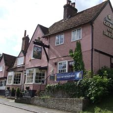
George And Dragon Public House
165 m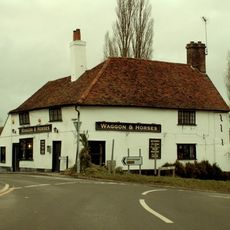
Waggon And Horses Public House
722 m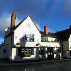
The Bull Public House
48 m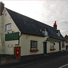
The Robin Hood Public House
3.7 km
Datchworth War Memorial
3.5 km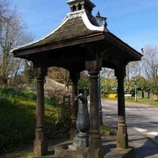
Village Pump And Housing
278 m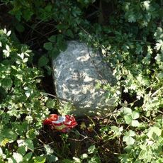
Milestone
1.6 km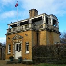
Hetford Lodge East
1.3 km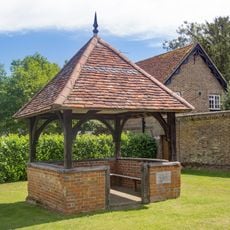
The Old Well House About 20 Metres South West Of Number 2
3.8 km
93 And 95, High Street
142 m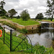
Casade, Weir And Sluice On River Beane About 30 Metres North Of Drive
1.5 km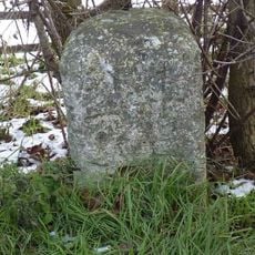
Milestone
3.6 km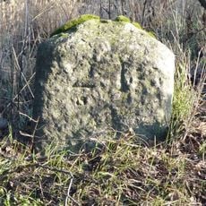
Milestone
2.9 km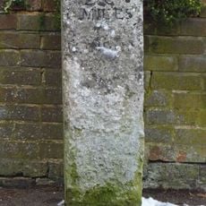
Milestone Aboout 15 Metres East Of Number 138
166 m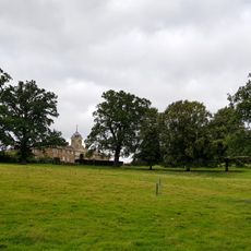
The Stables
1.7 km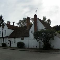
Watton Place And Attached Garden Wall
341 m
Milestone, immediate NW of The Three Horseshoes PH
3 kmVisited this place? Tap the stars to rate it and share your experience / photos with the community! Try now! You can cancel it anytime.
Discover hidden gems everywhere you go!
From secret cafés to breathtaking viewpoints, skip the crowded tourist spots and find places that match your style. Our app makes it easy with voice search, smart filtering, route optimization, and insider tips from travelers worldwide. Download now for the complete mobile experience.

A unique approach to discovering new places❞
— Le Figaro
All the places worth exploring❞
— France Info
A tailor-made excursion in just a few clicks❞
— 20 Minutes