
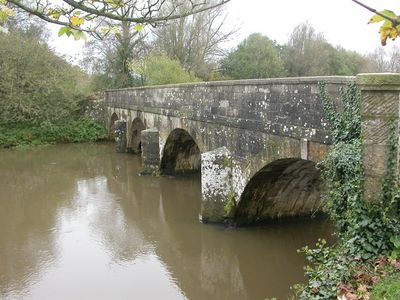
Iford Bridge, bridge in Christchurch, Dorset, UK
Location: Christchurch
Location: Bournemouth
GPS coordinates: 50.74130,-1.80640
Latest update: March 3, 2025 13:56
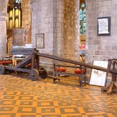
Cucking stool
2.3 km
Kings Park, Boscombe
2.7 km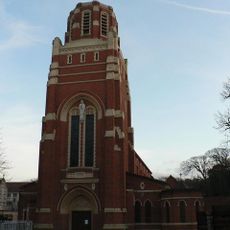
Corpus Christi Church, Boscombe
2.3 km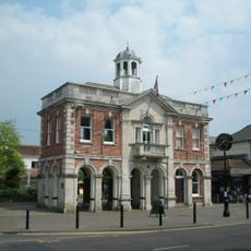
The Town Hall
2.1 km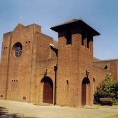
St Saviour's Church
645 m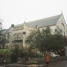
Church of All Saints
1.6 km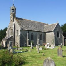
Church of St John
1.9 km
Church of St James
1.4 km
Pokesdown United Reformed Church And Sunday School
1.5 km
United Reform Church Including Attached Sunday Schools. Railings To West Wing Of Church Building
2.2 km
9, Church Lane
2.3 km
4, 6 ,7 and 8, Church Lane
2.3 km
1, Church Lane
2.3 km
Christchurch Library
2.2 km
14 And 16, Castle Street
2.4 km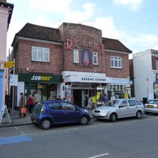
Regent Centre
2.2 km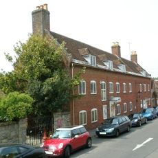
Red House Museum
2.3 km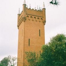
Water Tower
1.9 km
18, Castle Street
2.4 km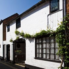
The Olde Barne
2.3 km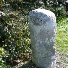
Milestone
1.4 km
58 And 60, Sopers Lane
2 km
6 And 6A, Castle Street
2.3 km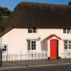
56, Sopers Lane
2 km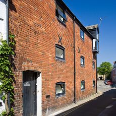
The Old Malt House
2.3 km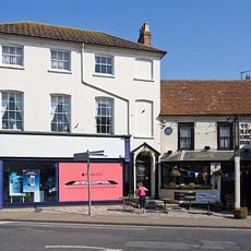
76, High Street
2.3 km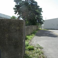
World War II pillbox and tank traps in former railway yard N of town
1.7 km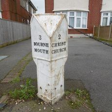
Milepost, Christchurch Rd, Pokesdown, by No. 1263
612 mReviews
Visited this place? Tap the stars to rate it and share your experience / photos with the community! Try now! You can cancel it anytime.
Discover hidden gems everywhere you go!
From secret cafés to breathtaking viewpoints, skip the crowded tourist spots and find places that match your style. Our app makes it easy with voice search, smart filtering, route optimization, and insider tips from travelers worldwide. Download now for the complete mobile experience.

A unique approach to discovering new places❞
— Le Figaro
All the places worth exploring❞
— France Info
A tailor-made excursion in just a few clicks❞
— 20 Minutes