
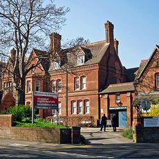
142-146, Southampton Street, building in Reading, Berkshire, UK
Location: Reading
Address: 142-146, Southampton Street, Reading, Berkshire, RG1
GPS coordinates: 51.44853,-0.96903
Latest update: October 25, 2025 14:17
Museum of English Rural Life
665 m
University of Reading War Memorial
581 m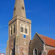
St Giles' Church, Reading
289 m
Oracle
690 m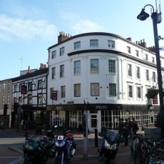
The George Hotel, Reading
702 m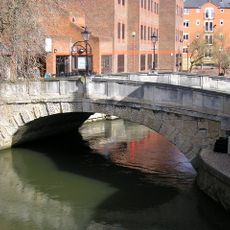
High Bridge
621 m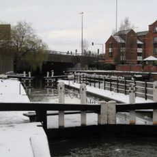
County Lock
431 m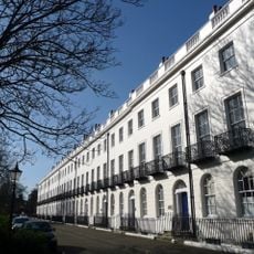
Albion Terrace, Reading
554 m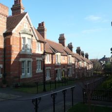
Vachel Almshouses
640 m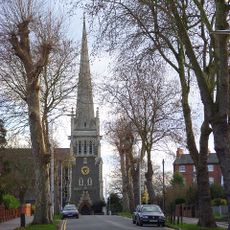
Christ Church
685 m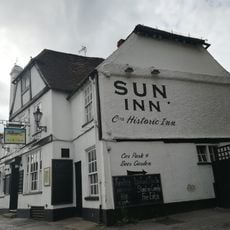
Sun Inn
699 m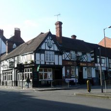
The Horn Inn
688 m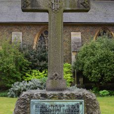
Christ Church War Memorial, Reading
668 m
Vue Reading
450 m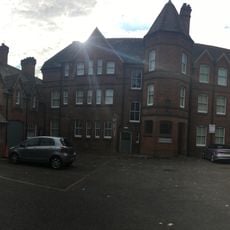
Front Block Of St Andrew's Hall And Stable Lodge To North
642 m
The Maltings
470 m
3 And 5, London Road
278 m
15, Castle Street
665 m
17, Castle Street
671 m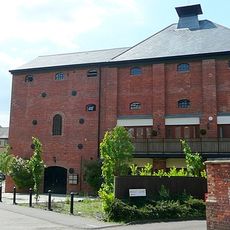
Simmonds Malthouse
508 m
72, London Street
387 m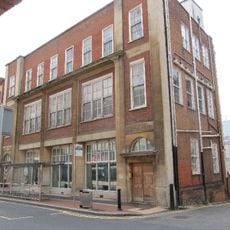
Reading Central Telephone Exchange
695 m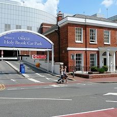
Seven Bridges House
587 m
Holybrook House
677 m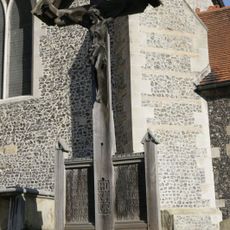
St Giles' War Shrine
272 m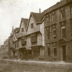
19, Castle Street
667 m
Black History Mural
475 m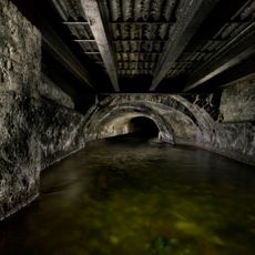
Culvert On Holy Brook Running South Westwards From Su71441/73234 To 71327/73133
620 mReviews
Visited this place? Tap the stars to rate it and share your experience / photos with the community! Try now! You can cancel it anytime.
Discover hidden gems everywhere you go!
From secret cafés to breathtaking viewpoints, skip the crowded tourist spots and find places that match your style. Our app makes it easy with voice search, smart filtering, route optimization, and insider tips from travelers worldwide. Download now for the complete mobile experience.

A unique approach to discovering new places❞
— Le Figaro
All the places worth exploring❞
— France Info
A tailor-made excursion in just a few clicks❞
— 20 Minutes