
36-92, Clayton Street, building in Newcastle upon Tyne, Tyne and Wear, UK
Location: Newcastle upon Tyne
Address: 36-92, Clayton Street, Newcastle upon Tyne, Tyne and Wear, NE1
GPS coordinates: 54.97146,-1.61780
Latest update: March 26, 2025 02:24
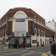
NX Newcastle
161 m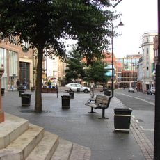
Bigg Market
213 m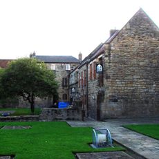
BlackFriars, Newcastle-upon-Tyne
108 m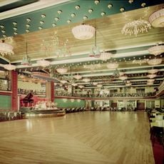
Mayfair Ballroom
130 m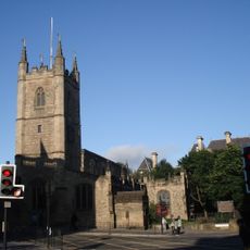
St John the Baptist Church, Newcastle upon Tyne
211 m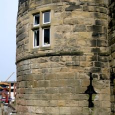
Morden Tower
183 m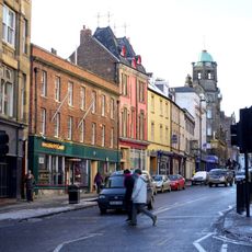
Milecastle 4
168 m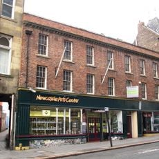
Newcastle Arts Centre
160 m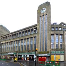
Co-operative Stores
179 m
Cineworld Cinema Newcastle upon Tyne
112 m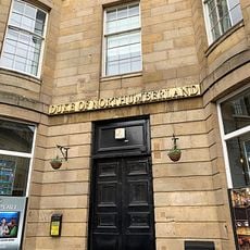
Duke Of Northumberland Public House
151 m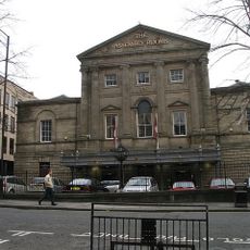
Old Assembly Rooms
104 m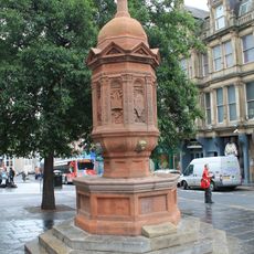
Drinking Fountain
199 m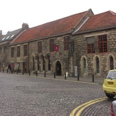
Blackfriars South Range
120 m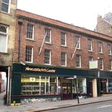
67, Westgate Road
160 m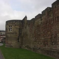
Town Wall, With Morden, Herber And Ever Towers
200 m
55 And 57, Westgate Road
179 m
Blackfriars East Range
108 m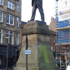
Statue of Joseph Cowen at Junction with Fenkle Street
149 m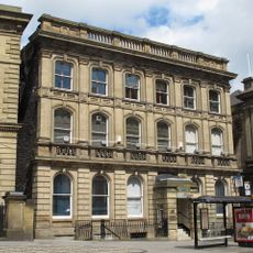
52, Westgate Road
160 m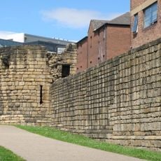
Town Wall With Durham Tower
185 m
69, Westgate Road
158 m
93, Grainger Street
174 m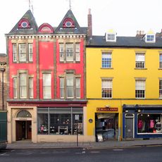
71-75, Westgate Road
156 m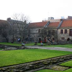
Blackfriars West Range
141 m
53, Westgate Road
191 m
30A, Nun Street
187 m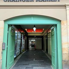
South Front Of Grainger Market
188 mReviews
Visited this place? Tap the stars to rate it and share your experience / photos with the community! Try now! You can cancel it anytime.
Discover hidden gems everywhere you go!
From secret cafés to breathtaking viewpoints, skip the crowded tourist spots and find places that match your style. Our app makes it easy with voice search, smart filtering, route optimization, and insider tips from travelers worldwide. Download now for the complete mobile experience.

A unique approach to discovering new places❞
— Le Figaro
All the places worth exploring❞
— France Info
A tailor-made excursion in just a few clicks❞
— 20 Minutes