
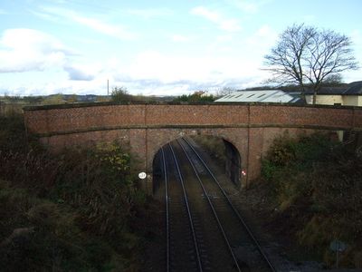
Road Bridge, 15 Metres South Of The Former Sedgefield Railway Station
Road Bridge, 15 Metres South Of The Former Sedgefield Railway Station, road bridge in Bradbury and the Isle, County Durham, UK
Location: Bradbury and the Isle
GPS coordinates: 54.64961,-1.48962
Latest update: September 23, 2025 16:47
Windlestone Hall
6.7 km
Hardwick Hall Country Park
1.6 km
Hardwick Hall Hotel
1.8 km
The Manor House
2.5 km
Church of St Edmund
2.7 km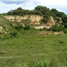
Bishop Middleham Quarry
4.3 km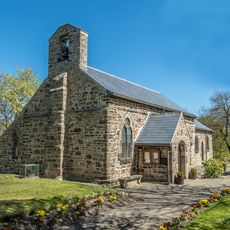
Church of St. Mary Magdalene
7.1 km
Church of St Michael and All Angels
2.9 km
Church of All Saints
6.3 km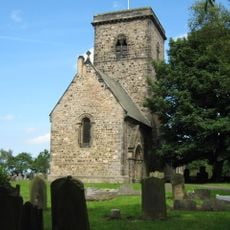
Church of St. John the Evangelist
7.5 km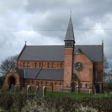
St John the Divine Church
6.7 km
Church of the Holy Trinity
6.3 km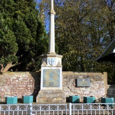
War Memorial, 40 Metres West of Church of St Edmund
2.6 km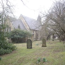
Church of St Luke
6 km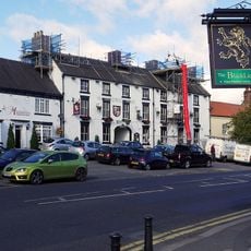
Hardwick Arms Hotel
2.5 km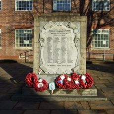
Coxhoe War Memorial
7.5 km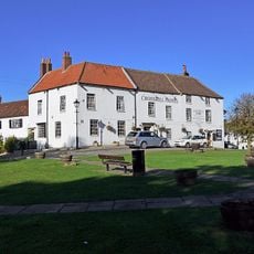
Crosshill Hotel
2.6 km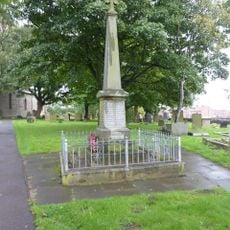
Kirk Merrington War Memorial
7.5 km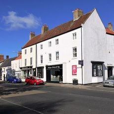
Nss Newsagents
2.6 km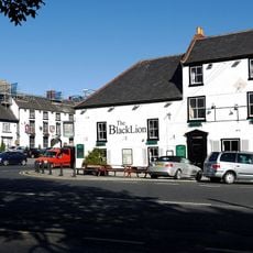
Black Lion Public House And Former Stable Wing
2.5 km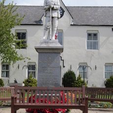
Ferryhill War Memorial
6.1 km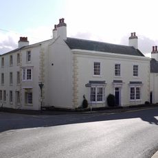
Sedgefield House
2.4 km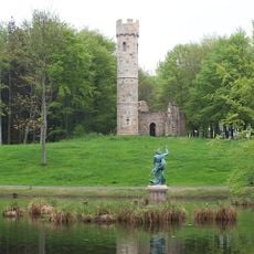
Gothick Gatehouse To Hardwick Park
1.6 km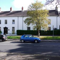
The White House
2.6 km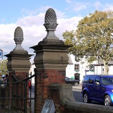
Gate Piers, 10 Metres East Of Magistrate's Court House
2.5 km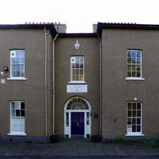
Ceddesfeld Hall
2.6 km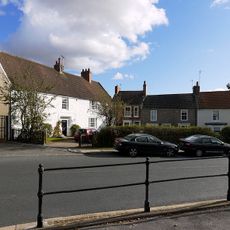
10, West End
2.5 km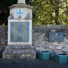
Churchyard Wall, 40 Metres West Of Church Of St Edmund Churchyard Wall, 50 Metres South West Of Church Of St Edmund
2.6 kmReviews
Visited this place? Tap the stars to rate it and share your experience / photos with the community! Try now! You can cancel it anytime.
Discover hidden gems everywhere you go!
From secret cafés to breathtaking viewpoints, skip the crowded tourist spots and find places that match your style. Our app makes it easy with voice search, smart filtering, route optimization, and insider tips from travelers worldwide. Download now for the complete mobile experience.

A unique approach to discovering new places❞
— Le Figaro
All the places worth exploring❞
— France Info
A tailor-made excursion in just a few clicks❞
— 20 Minutes