
136, Gilesgate, building in Durham, England, UK
Location: City of Durham
Address: 136, Gilesgate, County Durham, DH1
GPS coordinates: 54.77855,-1.55835
Latest update: October 28, 2025 05:46
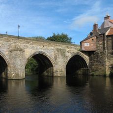
Elvet Bridge
1 km
Dunelm House
1 km
Old Shire Hall (University Office)
836 m
Maiden Castle
1 km
Kepier Hospital
575 m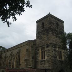
St Cuthbert's Church, Durham
845 m
St Giles Church, Durham
133 m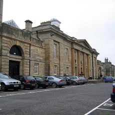
Durham Crown Court
834 m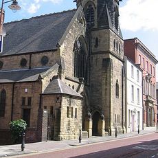
United Reformed Church
939 m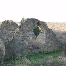
Chapel of St. Mary Magdalene
310 m
New Elvet Bridge
922 m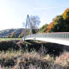
Maiden Castle bridge
1.1 km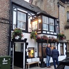
The Dun Cow Public House
756 m
Rex Cinema
847 m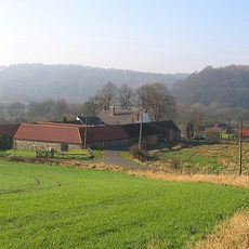
Barn To North-West Of Old Durham Farmhouse
856 m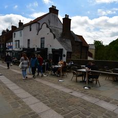
96 And 97, Elvet Bridge
988 m
Baths Bridge
720 m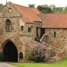
Kepier Farmhouse
633 m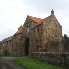
Great Gateway To Kepier Hospital
622 m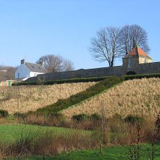
Retaining Wall And Gazebo On West Side Of Old Durham Farmhouse
832 m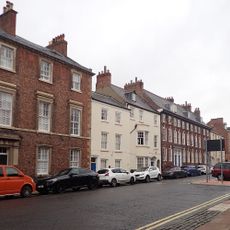
52, Old Elvet
836 m
53 And 55, Old Elvet
872 m
The Durham Cow
468 m
Ruth First
899 m
Durham Picture Frame
460 m
Installation artwork, Work of art
380 m
Scenic viewpoint
298 m
Viewing gallery
1 kmReviews
Visited this place? Tap the stars to rate it and share your experience / photos with the community! Try now! You can cancel it anytime.
Discover hidden gems everywhere you go!
From secret cafés to breathtaking viewpoints, skip the crowded tourist spots and find places that match your style. Our app makes it easy with voice search, smart filtering, route optimization, and insider tips from travelers worldwide. Download now for the complete mobile experience.

A unique approach to discovering new places❞
— Le Figaro
All the places worth exploring❞
— France Info
A tailor-made excursion in just a few clicks❞
— 20 Minutes