
12, Church Street, building in Durham, England, UK
Location: City of Durham
Address: 12, Church Street, County Durham, DH1
GPS coordinates: 54.77195,-1.57160
Latest update: October 28, 2025 06:17
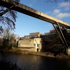
Kingsgate Bridge
136 m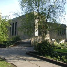
Dunelm House
152 m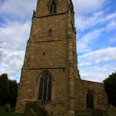
Church of St Oswald
96 m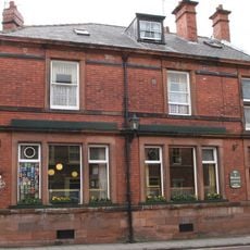
The Victoria
76 m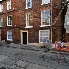
Langford House
237 m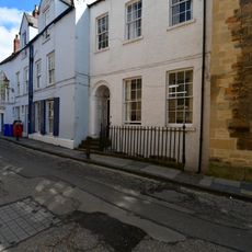
Ramsey House
228 m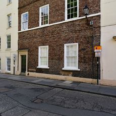
St Chad's College: 18 (South), North Bailey
243 m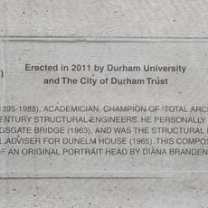
Commemorative plaque to Ove Arup
125 m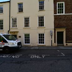
St Chad's College: 18 (North), North Bailey
247 m
St John's College
245 m
St Chad's College: 17 North Bailey
250 m
Chapter Clerk's Office And Chapter Room
251 m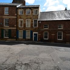
28, North Bailey
231 m
Hatfield College Office Building
233 m
St Chad's College: 20 North Bailey
238 m
Union Society
229 m
Wall on South Side of Steps Leading from Lane to River
182 m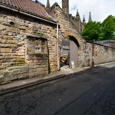
Wall With Entrance Arch And Mounting Block, Opposite To Nos. 19-22A Consecutive
244 m
House To South Of No. 28
235 m
27, North Bailey
230 m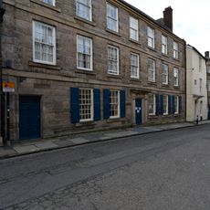
St John's College, Part
240 m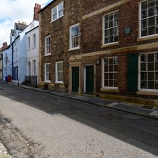
26, North Bailey
229 m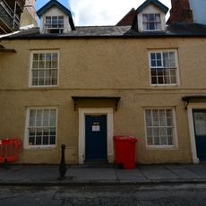
23, North Bailey
231 m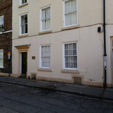
St Chad's College: 19 (North), North Bailey
243 m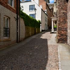
Kingsgate
234 m
Terrace Wall South Of Bow Lane And East Of Kinsgate
203 m
Castle Wall Behind Nos. 16-22 And No.22a (st. Chad's)
198 m
Castle Walls Terrace Wall North Of Bow Lane
210 mVisited this place? Tap the stars to rate it and share your experience / photos with the community! Try now! You can cancel it anytime.
Discover hidden gems everywhere you go!
From secret cafés to breathtaking viewpoints, skip the crowded tourist spots and find places that match your style. Our app makes it easy with voice search, smart filtering, route optimization, and insider tips from travelers worldwide. Download now for the complete mobile experience.

A unique approach to discovering new places❞
— Le Figaro
All the places worth exploring❞
— France Info
A tailor-made excursion in just a few clicks❞
— 20 Minutes