
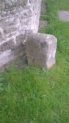
Township Road Marker Stone At Junction With Billy Lane
Township Road Marker Stone At Junction With Billy Lane, building in Marwood, County Durham, UK
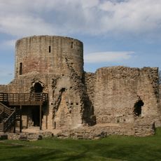
Barnard Castle
2.9 km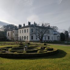
Lartington Hall
3 km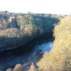
Tees railway viaduct
2 km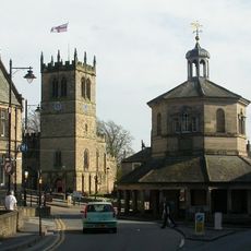
Market Cross
3 km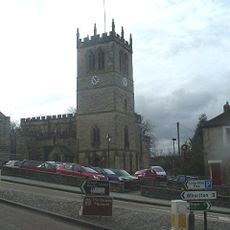
Church of St Mary
3.1 km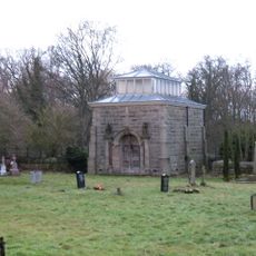
Mausoleum/Mortuary Chapel 90 Metres North Of Yew Trees
3 km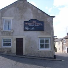
The White Swan Public House And Swan Cottage
2.9 km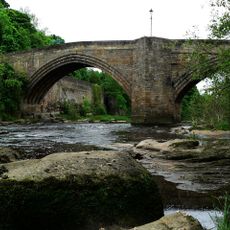
Barnard Castle Bridge
2.9 km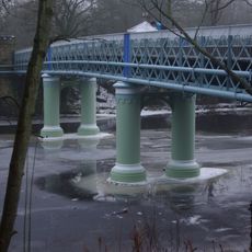
Deepdale Aqueduct
2.6 km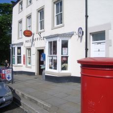
Post Office Post Office And Brampton House
2.7 km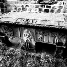
Hopper Tomb Approximately 2 Metres South Of Church Of St Mary
3.1 km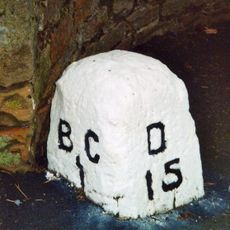
Milestone In Front Of Willowfield
2.7 km
14 (Left Part), Market Place
3 km
21, Galgate
2.7 km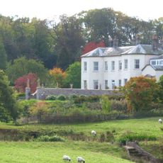
Garden Wall, With Statues And 2 Sets Of Gate Piers, Adjoining To East Of Lartington Hall
2.9 km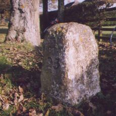
Milestone At Stainton Grove, C. 70 Metres North-West Of Post Office
2.6 km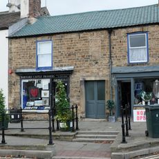
6, 6A And 6B, Galgate
2.7 km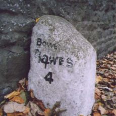
Milestone At Nz 0484 1631
3 km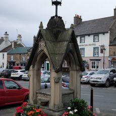
Pant
2.7 km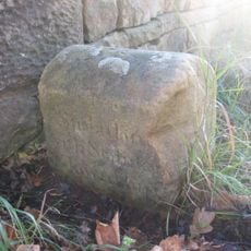
Township Road Marker Stone On Forthburn Bridge
1.9 km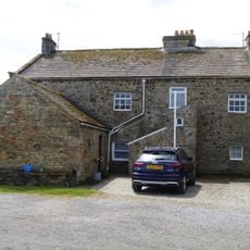
Pecknell Farmhouse
2.4 km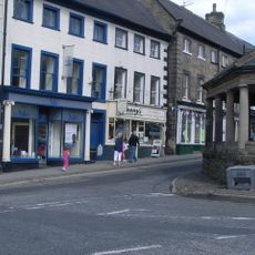
2 And 4, Market Place
3 km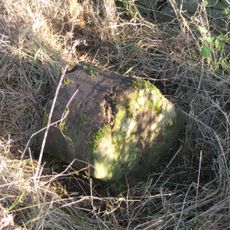
Township Road Marker Stone C.50 Metres East Of Moss Mire
2.8 km
Township Stone Opposite New Broomielaw
1.2 km
31, 31A And 31B, Horse Market
2.7 km
Milestone At Nz 057 170 Milestone, East Of Junction With Victoria Road
2.5 km
Hawton Lane End, jct of UC road to Kinninvie, NW of Barnard Castle
4 m
31, Galgate
2.7 kmVisited this place? Tap the stars to rate it and share your experience / photos with the community! Try now! You can cancel it anytime.
Discover hidden gems everywhere you go!
From secret cafés to breathtaking viewpoints, skip the crowded tourist spots and find places that match your style. Our app makes it easy with voice search, smart filtering, route optimization, and insider tips from travelers worldwide. Download now for the complete mobile experience.

A unique approach to discovering new places❞
— Le Figaro
All the places worth exploring❞
— France Info
A tailor-made excursion in just a few clicks❞
— 20 Minutes