
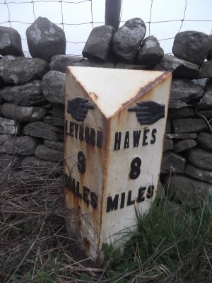
Mile Stone Approximately 200 Metres West Of Parish Boundary
Mile Stone Approximately 200 Metres West Of Parish Boundary, milestone in Thornton Rust, Richmondshire, North Yorkshire, UK
Location: Thornton Rust
Inception: 19 century
GPS coordinates: 54.29664,-2.01727
Latest update: March 6, 2025 10:31
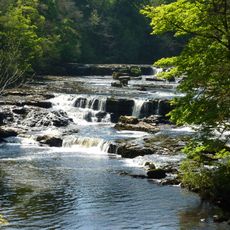
Aysgarth Falls
2.3 km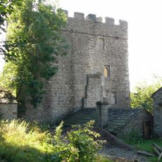
Nappa Hall
3 km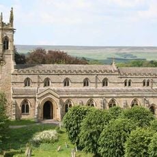
Church of Saint Andrew
2.3 km
Castle Dykes Henge
1.9 km
Post Office
1.6 km
Burton Bridge
3.5 km
Manor Farmhouse
1.6 km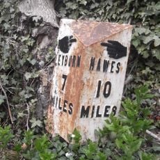
Milestone, Heads Bank, Aysgarth
2.8 km
Manor House
1.7 km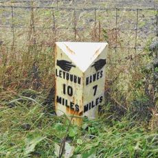
Mile Stone Approximately 100 Metres West Of Wauley Beck
1.6 km
Havenhurst
1.5 km
Yoredale
1.6 km
Thornton Hall
1.7 km
The Coach House And Stable Cottage To The North East Of The Grange
3.4 km
Flanders Hall
3.5 km
Wensleydale Cottage And Attached Outbuilding
3.6 km
Stables At Flanders Hall
3.5 km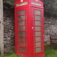
K6 Telephone Kiosk Oppposite Manor Farm House
1.6 km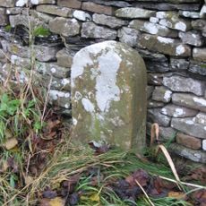
Boundary Stone
3.3 km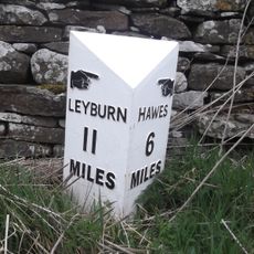
Mile Post Approximately 300 Metres East Of Victoria Arms Public House
3 km
Yore Mill
2.2 km
The Grange
3.5 km
Carperby market cross
1.8 km
Boundary Stone Approximately 6 Metres North Of Tomgill Bridge
2.1 km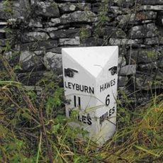
Milestone, Worton
3 km
Guidestone, Aysgarth to Thoralby road
2.1 km
Milestone, Thoralby, Humphrey Hill
2.5 km
Milestone, Woodhall between Carperby and Askrigg
1.9 kmReviews
Visited this place? Tap the stars to rate it and share your experience / photos with the community! Try now! You can cancel it anytime.
Discover hidden gems everywhere you go!
From secret cafés to breathtaking viewpoints, skip the crowded tourist spots and find places that match your style. Our app makes it easy with voice search, smart filtering, route optimization, and insider tips from travelers worldwide. Download now for the complete mobile experience.

A unique approach to discovering new places❞
— Le Figaro
All the places worth exploring❞
— France Info
A tailor-made excursion in just a few clicks❞
— 20 Minutes