
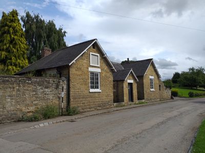
Former School, school building in Kilburn High and Low, Hambleton, North Yorkshire, UK
Location: Kilburn High and Low
GPS coordinates: 54.20951,-1.21409
Latest update: March 3, 2025 19:20
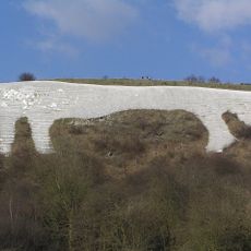
Kilburn White Horse
1.7 km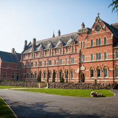
Stanbrook Abbey
4.3 km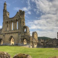
Byland Abbey
3.5 km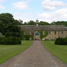
Newburgh Priory
4.3 km
Shandy Hall
2.9 km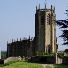
Church of St Michael, Coxwold
3.1 km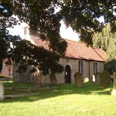
St Mary's Church, Birdforth
4.7 km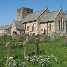
Church of St Mary
89 m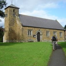
Church of St Mary
3.2 km
Church of St Mary Magdalene
5 km
Church of All Saints, Great Thirkleby
4.1 km
Church of St Nicholas
4.5 km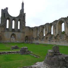
The Abbey Inn
3.6 km
War Memorial Set in Wall Approximately 7 Metres to South of Churchyard South Gateway
44 m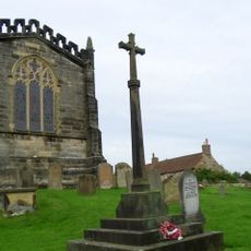
Coxwold War Memorial Within The Churchyard Of Saint Michael's Church
3.1 km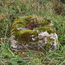
Wayside cross known as Cooper Cross on Sutton Bank
3.4 km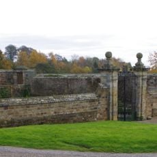
Front Garden Wall With Gate Piers At Osgodby Hall
2.5 km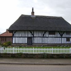
Thatch Cottage
3.3 km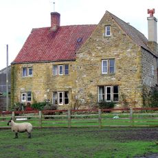
Hood Grange Farmhouse
2.9 km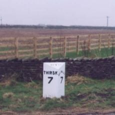
Milepost Approximately 150 Metres East Of Spring Cottage And Greystones
3.7 km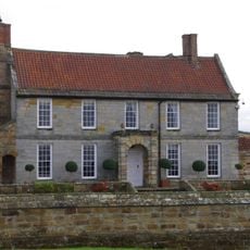
Osgodby Hall
2.5 km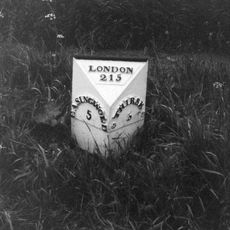
Mile Post On Birdforth Bridge
4.8 km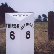
Milepost Approximately 225 Metres To West Of Track To Gormire Lake
3.1 km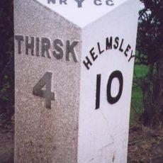
Milepost Approximately 170 Metres To East Of Drive To Whitestone Gardens
3.6 km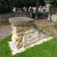
Mounting Block Approximately 6 Metres To South West Of South Gate To Church Of St Mary
46 m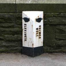
Milepost In Centre Of Birdforth Bridge
4.7 km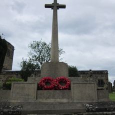
Husthwaite War Memorial
4.5 km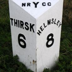
Milestone, top of Sutton Bank
3.4 kmReviews
Visited this place? Tap the stars to rate it and share your experience / photos with the community! Try now! You can cancel it anytime.
Discover hidden gems everywhere you go!
From secret cafés to breathtaking viewpoints, skip the crowded tourist spots and find places that match your style. Our app makes it easy with voice search, smart filtering, route optimization, and insider tips from travelers worldwide. Download now for the complete mobile experience.

A unique approach to discovering new places❞
— Le Figaro
All the places worth exploring❞
— France Info
A tailor-made excursion in just a few clicks❞
— 20 Minutes