Burn House, And Burn House Cottage, cottage in Shotley Low Quarter, Northumberland, UK
Location: Shotley Low Quarter
GPS coordinates: 54.86849,-1.87005
Latest update: November 2, 2025 08:34
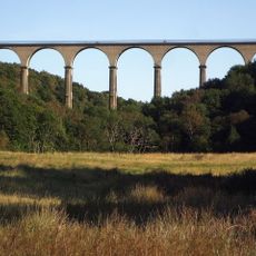
Hownsgill Viaduct
3.8 km
Vindomora
3.5 km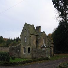
Shotley Hall
378 m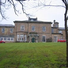
Shotley Park
1.2 km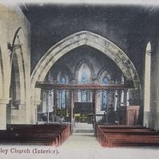
Church of St Mary Magdalene
3.9 km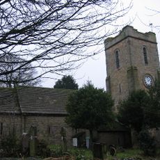
Church of St Ebba
3.4 km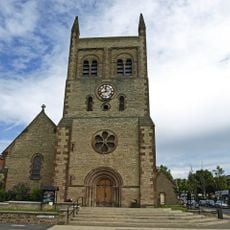
Christ Church, Consett
2.8 km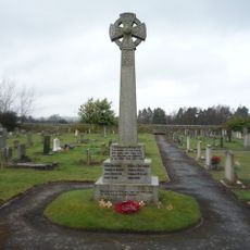
Shotley Low Quarter War Memorial
2.1 km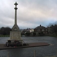
War Memorial at the Civic Centre
2.8 km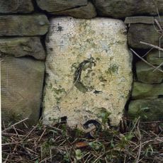
Milestone About 300 Metres South Of West Fines Wood
3 km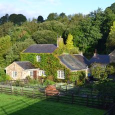
Allensford Mill Farmhouse And Adjacent Outbuildings
2.5 km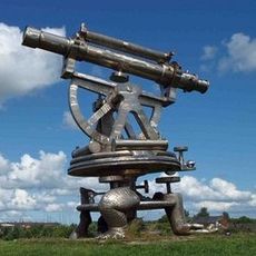
Terris Novalis
3.3 km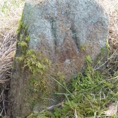
Boundary Stone About 500 Metres North East Of Shotley Spa
1.6 km
Former Lead Mine Reservoir About 100 Metres East Of Dean Howl Farm
4.2 km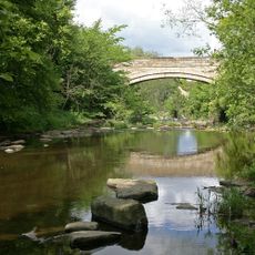
Shotley Bridge
648 m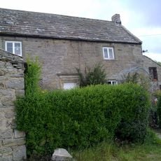
Crooked Oak Farmhouse
4.2 km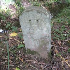
Boundary Stone At Ngr Nz 09705632, On West Side Of Mill Burn
3.9 km
Milestone About 200 Metres East Of Rowley Cottage
4.2 km
Former Lead Mine Circa 300 Metres North East Of Dene Howl Farm
4 km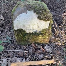
Milestone, Carterway Heads, Burnmill Bank, Fell Gate
2.9 km
Blackhill War Memorial
1.8 km
Ebchester War Memorial
3.4 km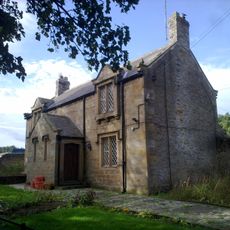
Forge Cottage
860 m
Terris Novalis
3.3 km
Terris Novalis
3.3 km
Steel Circle
2.2 km
Sculpture, Work of art
4.2 km
Work of art
2.3 kmVisited this place? Tap the stars to rate it and share your experience / photos with the community! Try now! You can cancel it anytime.
Discover hidden gems everywhere you go!
From secret cafés to breathtaking viewpoints, skip the crowded tourist spots and find places that match your style. Our app makes it easy with voice search, smart filtering, route optimization, and insider tips from travelers worldwide. Download now for the complete mobile experience.

A unique approach to discovering new places❞
— Le Figaro
All the places worth exploring❞
— France Info
A tailor-made excursion in just a few clicks❞
— 20 Minutes