Vindomora, Roman auxiliary fort in County Durham, England.
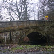
Vindomora was a Roman military fort built along Dere Street that served as a garrison to guard the crossing of the River Derwent in northern Britain. The site occupied a strategic location and housed soldiers recruited from distant provinces.
The fort was established in the early imperial period to secure the northern frontier, and was occupied at times by the Fourth Cohort of the Breuci, an infantry unit from the Balkans. It illustrates how Rome organized its military presence in Britain.
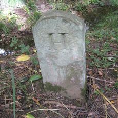
Altars found here honor Mars, Minerva, and the Germanic god Vitiris, revealing the religious world of Roman soldiers stationed at this fort. These discoveries show how soldiers from different regions carried their beliefs to Britain.
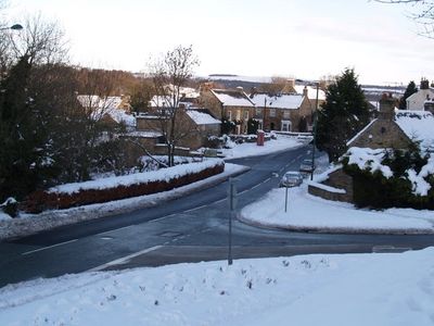
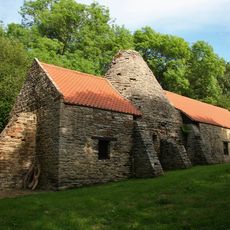
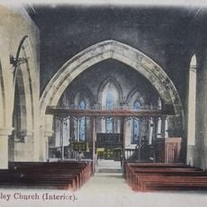
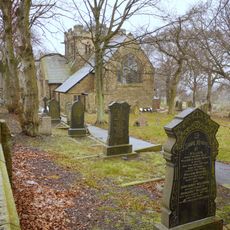
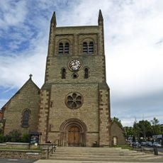
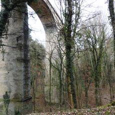
The remains of the fort are scattered around the modern town of Ebchester, with ramparts visible near the post office and beneath St. Ebba's Church. Access to the site is straightforward since the ancient location sits directly beneath the modern settlement.
The name derives from the Celtic word 'windo', meaning white or fair, rather than from a Latin reference to black moorland. This naming choice reveals how Celtic and Roman languages merged in frontier settlements.
Location: County Durham
Part of: Hadrian's Wall
GPS coordinates: 54.89400,-1.83850
Latest update: December 12, 2025 14:21
Hamsterley Hall
3.8 km
Derwentcote Steel Furnace
2.9 km
St Andrew's Church
5.9 km
Shotley Hall
3.2 km
Shotley Park
2.4 km
Church of St Mary Magdalene
1.8 km
Church of St Ebba
97 m
Church of St John
5.1 km
St Philip & St James
3.7 km
St John the Evangelist
3.8 km
Pontburn Bridge
4.2 km
Christ Church, Consett
4.5 km
Pontop Hall
4.7 km
Shotley Low Quarter War Memorial
5.1 km
The Old Lodge At Hamsterley Hall And Wall Attached
4.1 km
Hopper Mausoleum north-east of Church of St Andrew
5.9 km
Derwent Oak Farm
3.3 km
Allensford Mill Farmhouse And Adjacent Outbuildings
5.9 km
Mill Race Walls And Sluice With Piers And Sluice Keepers Shelter Adjacent
4.8 km
Milestone About 300 Metres South Of West Fines Wood
6.4 km
War Memorial at the Civic Centre
4 km
Pontburn Viaduct
4.2 km
Terris Novalis
5.4 km
Shotley Bridge
3.1 km
Boundary Stone At Ngr Nz 09705632, On West Side Of Mill Burn
1.1 km
Boundary Stone On South Side Of Mill Barn
3.1 km
Chopwell War Memorial
3.4 km
Boundary Stone About 500 Metres North East Of Shotley Spa
1.9 kmVisited this place? Tap the stars to rate it and share your experience / photos with the community! Try now! You can cancel it anytime.
Discover hidden gems everywhere you go!
From secret cafés to breathtaking viewpoints, skip the crowded tourist spots and find places that match your style. Our app makes it easy with voice search, smart filtering, route optimization, and insider tips from travelers worldwide. Download now for the complete mobile experience.
A unique approach to discovering new places❞
— Le Figaro
All the places worth exploring❞
— France Info
A tailor-made excursion in just a few clicks❞
— 20 Minutes