
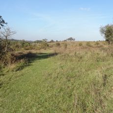
Dean Farm, agricultural structure in Reigate and Banstead, Surrey, UK
Location: Reigate and Banstead
GPS coordinates: 51.28559,-0.15199
Latest update: April 22, 2025 16:06
Farthing Downs
2.7 km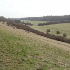
Happy Valley Park
2.8 km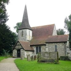
Church of St Peter and St Paul
1.9 km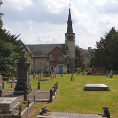
St Andrew's Church
3.1 km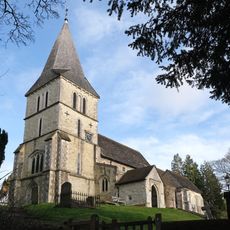
Church of St Katharine, Merstham
1.9 km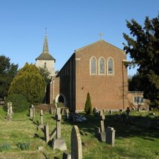
Church of St John the Evangelist
3.4 km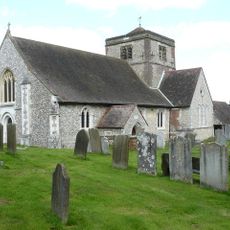
Church of St Margaret, Hooley
967 m
Chapel Of St Michael The Archangel, Caterham Guards Depot
3.6 km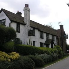
Well House Inn
3.1 km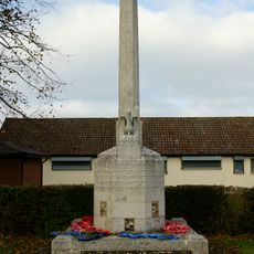
Old Coulsdon War Memorial
3.3 km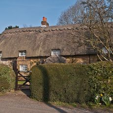
Thatched Cottage
3.8 km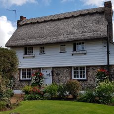
The Thatched Cottage
4.2 km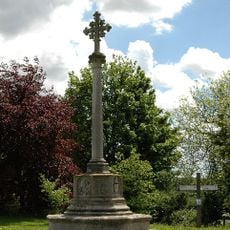
Chipstead War Memorial
1 km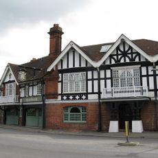
The Feathers Hotel
2.3 km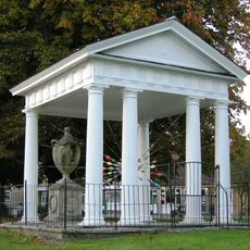
Gatton Town Hall
3.2 km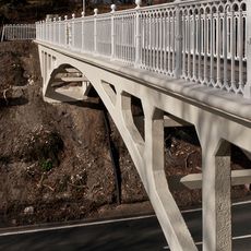
Reigate Hill Footbridge
4.3 km
Group of four World War II fighter pens at the former airfield of RAF Kenley
4.3 km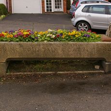
Drinking Fountain And Cattle Trough To East Of Nos 27 And 29
2.3 km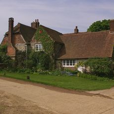
Tollsworth Manor House
2 km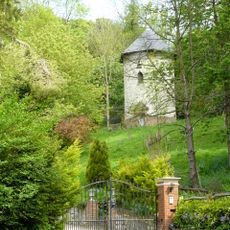
Dovecot In Grounds To North Of Wellhead
1.8 km
Piers And Walls To Churchyard Of St Michael, Caterham Guards Depot
3.6 km
Hoath Farm House
1.3 km
Viaduct
3.1 km
Wellhead
1.8 km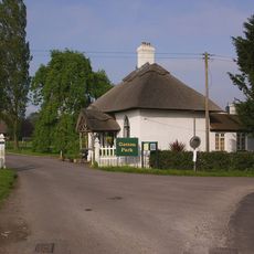
North Lodge, Including Fence And Gate
2.8 km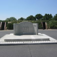
RAF Kenley Memorial
4.1 km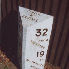
Milepost, Redhill, London Road; opp. Ringwood Ave
4 km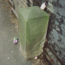
Milestone, Brighton Road, Coulsdon, under railway bridge
3.5 kmReviews
Visited this place? Tap the stars to rate it and share your experience / photos with the community! Try now! You can cancel it anytime.
Discover hidden gems everywhere you go!
From secret cafés to breathtaking viewpoints, skip the crowded tourist spots and find places that match your style. Our app makes it easy with voice search, smart filtering, route optimization, and insider tips from travelers worldwide. Download now for the complete mobile experience.

A unique approach to discovering new places❞
— Le Figaro
All the places worth exploring❞
— France Info
A tailor-made excursion in just a few clicks❞
— 20 Minutes