Farthing Downs, Protected chalk grassland in Coulsdon, England.
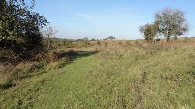
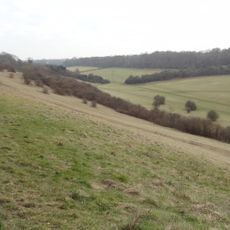
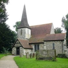
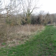
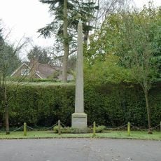
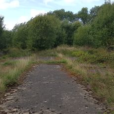
Farthing Downs is a protected chalk grassland in Coulsdon, London Borough of Croydon, and is the largest remaining area of semi-natural downland in Greater London. The land rolls across open hills with patches of ancient woodland tucked in between.
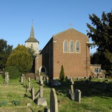
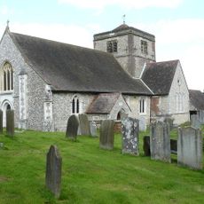
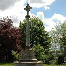
Archaeologists found sixteen Anglo-Saxon burial mounds across two separate cemeteries on the site, first excavated in 1871 and again in the 1940s. These finds show that people were using this place for burial more than a thousand years ago.
In the 1800s, horse trainers used these hills to exercise racehorses, taking advantage of the open terrain. This practice left a lasting mark on how local people related to the land over generations.
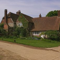
The main access point is on Downs Road, where the entry to the site is easy to find. The London LOOP walking trail passes through the area, giving a clear route to follow on foot.
Sheep and cattle graze on the site today, a practice that was reintroduced after farming changes and a drop in rabbit numbers disrupted how the land naturally kept itself open. Without this grazing, scrub and trees would quickly take over the open grassland.
The community of curious travelers
AroundUs brings together thousands of curated places, local tips, and hidden gems, enriched daily by 60,000 contributors worldwide.