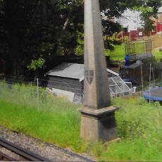
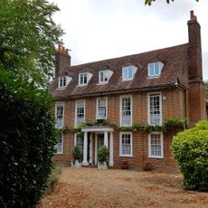
Riddlesdown Common, Public land in Kenley, United Kingdom.
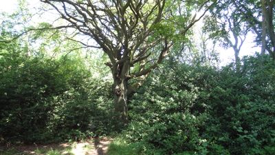
Riddlesdown Common is a 43 hectare site of special scientific interest featuring chalk grassland, yew woodland, and calcareous scrub across the North Downs landscape. The different plant communities thrive on various soil conditions and slopes throughout the rolling terrain.
Protection of the land began in 1883 when the City of London Corporation bought it following a legal dispute over enclosure attempts after railway construction. This purchase prevented agricultural conversion and secured its status as a protected natural space.
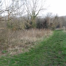
The land is managed through traditional grazing with cattle, sheep, and goats that keep the chalk grassland vegetation in balance. This practice shapes how the landscape looks and changes with the seasons.
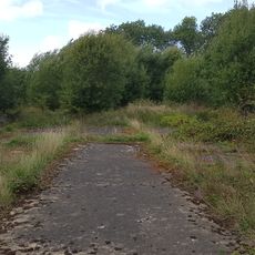
The site can be accessed from multiple entry points along Riddlesdown Road and Godstone Road, with parking available at the southeastern section. The rolling terrain becomes muddy in wet seasons, so sturdy footwear and care on sloped ground are helpful.
This location contains London's largest expanse of calcareous scrub and supports rare plant species such as early gentian and round-headed rampion. These botanical treasures draw plant enthusiasts and researchers seeking these specialized habitats.
Location: London Borough of Croydon
GPS coordinates: 51.32360,-0.09265
Latest update: December 12, 2025 14:22
Foxley Wood
1.6 km
Church of All Saints
1.9 km
Purley Council Offices Including Attached Railings
2.5 km
Church of All Saints
514 m
Purley Library
2.5 km
Church of St John the Evangelist
2.5 km
Church of All Saints
2.8 km
Purley United Reformed Church, Formerly Purley Congregational Church
2.4 km
Old Coulsdon War Memorial
2.6 km
St. James' Riddlesdown
1.3 km
The Thatched Cottage
1.9 km
Purley Bury
2.1 km
Sanderstead War Memorial
1.8 km
The Old Forge
1.3 km
Kenley Station House (Original 1856 Building)
627 m
Group of four World War II fighter pens at the former airfield of RAF Kenley
1.9 km
Whyteleafe War Memorial
1.9 km
Fox Farm House
3 km
The White House
1.6 km
Milestone Outside Number 362
742 m
Coal Tax Post 1/4 Mile South Of Station At Ngr Tq 340581
2.2 km
RAF Kenley Memorial
2.4 km
Group of seven World War II fighter pens at the former airfield of RAF Kenley
1.9 km
Milestone, Grounds of Purley Memorial Hospital
2.4 km
The Vicarage
3 km
Milepost, Sanderstead Hill, by No. 36, half mile N of jct with A2022
1.9 km
Milestone, Brighton Road, Coulsdon near Milestone Drive
2.5 km
Milestone, between Kenley & Whyteleafe
587 mVisited this place? Tap the stars to rate it and share your experience / photos with the community! Try now! You can cancel it anytime.
Discover hidden gems everywhere you go!
From secret cafés to breathtaking viewpoints, skip the crowded tourist spots and find places that match your style. Our app makes it easy with voice search, smart filtering, route optimization, and insider tips from travelers worldwide. Download now for the complete mobile experience.
A unique approach to discovering new places❞
— Le Figaro
All the places worth exploring❞
— France Info
A tailor-made excursion in just a few clicks❞
— 20 Minutes