
Church of St Hilda, church in Ashford, Surrey, TW15
Location: Spelthorne
Website: http://sthilda.org
GPS coordinates: 51.43440,-0.47237
Latest update: March 14, 2025 03:42

Thames Water Ring Main
2.9 km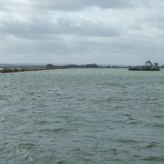
Queen Mary Reservoir
1.6 km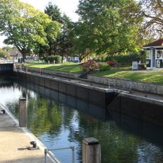
Penton Hook Lock
2.9 km
Church of St Mary
2.5 km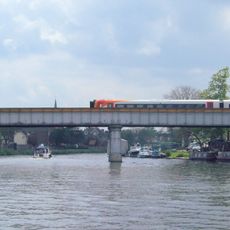
Staines Railway Bridge
2.7 km
Staines Town Hall
2.9 km
Roman Catholic Church of St Michael, Including Boundary Wall and Entrance Screen
705 m
Ashford War Memorial
741 m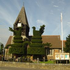
Church of St Mary
3 km
Church of St Peter
2.6 km
Parish Church of St Matthew
949 m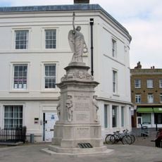
Staines War Memorial
2.9 km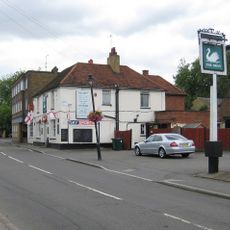
The Swan Public House
2.6 km
The Blue Anchor Public House
2.9 km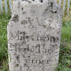
Milestone
935 m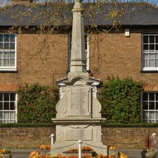
Stanwell War Memorial
2.6 km
44, 46 And 48, High Street
2.7 km
Perry Green
2.7 km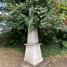
Obelisk To North Of Railway Bridge
2.7 km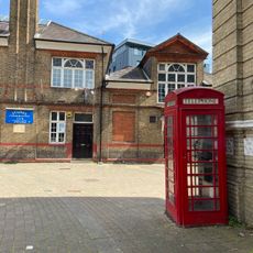
2 K6 Telephone Kiosks In Front Of Town Hall
2.9 km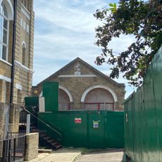
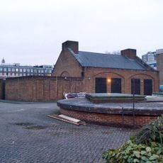
Fire Engine Shed
2.9 km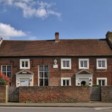
Lord Knyvett's Free School
2.7 km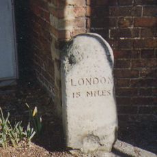
Milestone
2.6 km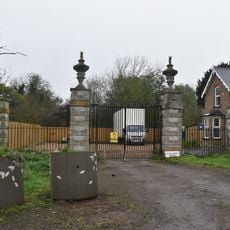
Gates Piers And Gates To Stanwell Place
2.8 km
2, Clarence Street
2.9 km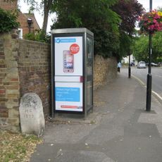
Milestone, High Street, opp. The Swan PH, W of jct with Oaks Road
2.6 km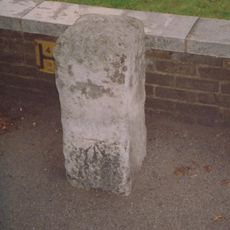
Milestone, Kingston Road, 6m W of Warwick Avenue
1.3 km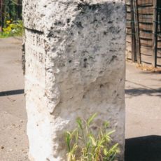
Milestone, Staines Road; Bedfont, by No. 778, 50m E of Ashford boundary
1.8 kmVisited this place? Tap the stars to rate it and share your experience / photos with the community! Try now! You can cancel it anytime.
Discover hidden gems everywhere you go!
From secret cafés to breathtaking viewpoints, skip the crowded tourist spots and find places that match your style. Our app makes it easy with voice search, smart filtering, route optimization, and insider tips from travelers worldwide. Download now for the complete mobile experience.

A unique approach to discovering new places❞
— Le Figaro
All the places worth exploring❞
— France Info
A tailor-made excursion in just a few clicks❞
— 20 Minutes