
Police Stables, stable in Newcastle upon Tyne, Tyne and Wear, UK
Location: Newcastle upon Tyne
GPS coordinates: 54.99873,-1.60445
Latest update: March 25, 2025 02:02
Jesmond Dene
296 m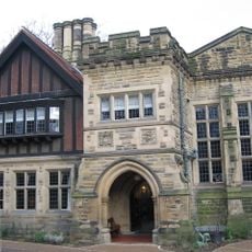
Jesmond Dene House
42 m
Banqueting House With Added Gatehouse And Other Extensions
920 m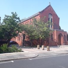
Holy Name parish, Jesmond
234 m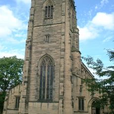
Church of All Saints
1.4 km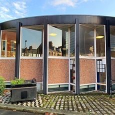
Jesmond Library
621 m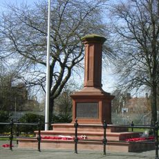
Gosforth Central Park
1.2 km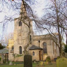
Church of St Nicholas
936 m
Church of the Holy Trinity
1.4 km
Jesmond Church Of St Hilda
748 m
Church of St George
418 m
Roman Catholic Church of St Charles, Attached Presbytery and Boundary Wall to South and South West
1.3 km
Fleming Memorial Hospital
1.4 km
Sunday School Attached To Church Of St Hilda
751 m
St Mary's Chapel, Jesmond
859 m
The County Hotel
1.1 km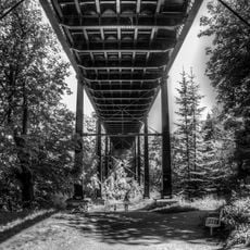
Armstrong Bridge
1.4 km
The Former Phillipson Memorial Orphanage At Princess Mary Maternity Hospital
1.3 km
Gosforth War Memorial Pillar
1.1 km
Town Moor Boundary Stone Opposite Number 73
504 m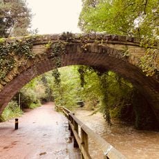
Footbridge North East Of Banqueting Hall
888 m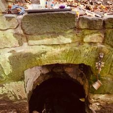
St Mary's Well
834 m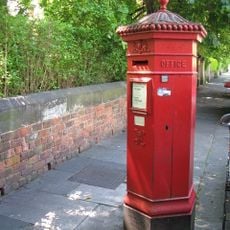
Pillar Box North Of Number 4
1.2 km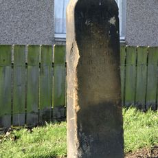
Main Dike Stone
1.1 km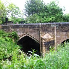
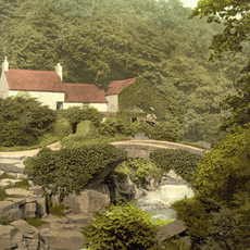
Salters' Bridge
1.3 km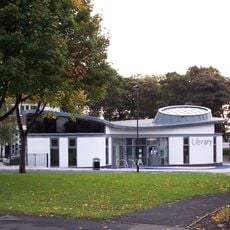
High Heaton Library
1.2 km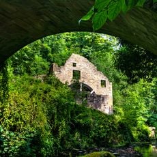
Jesmond Dene Mill
336 m
Jesmond United Reformed Church
1.4 kmReviews
Visited this place? Tap the stars to rate it and share your experience / photos with the community! Try now! You can cancel it anytime.
Discover hidden gems everywhere you go!
From secret cafés to breathtaking viewpoints, skip the crowded tourist spots and find places that match your style. Our app makes it easy with voice search, smart filtering, route optimization, and insider tips from travelers worldwide. Download now for the complete mobile experience.

A unique approach to discovering new places❞
— Le Figaro
All the places worth exploring❞
— France Info
A tailor-made excursion in just a few clicks❞
— 20 Minutes