
Daubeny Infants' School, school building in Hackney, Greater London, UK
Location: London Borough of Hackney
GPS coordinates: 51.55317,-0.03847
Latest update: March 8, 2025 16:16
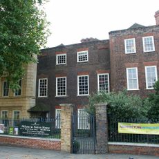
Sutton House
977 m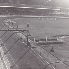
Clapton Stadium
659 m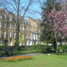
Clapton Square
1.1 km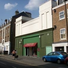
Castle Cinema
470 m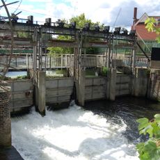
Middlesex Filter Beds Weir
1 km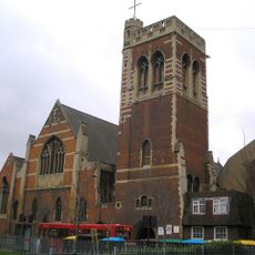
St Mary of Eton
1 km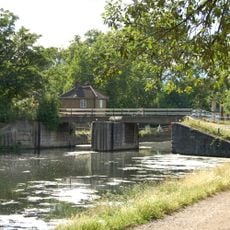
Pond Lane Flood Gates
932 m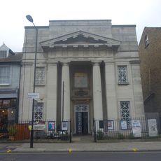
Chats Palace
438 m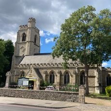
Church of St Barnabas
559 m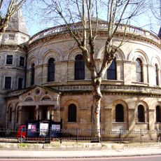
United Reformed Church
938 m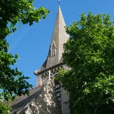
Church of St Luke
1.1 km
The Plough Inn
847 m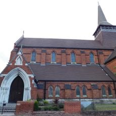
Former Church of St Paul
253 m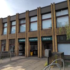
Homerton Library
521 m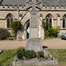
Homerton War Memorial
574 m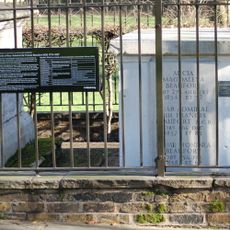
Beaufort Family Tomb, St John At Hackney Churchyard Gardens
1.1 km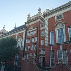
South Hackney Upper School
1.1 km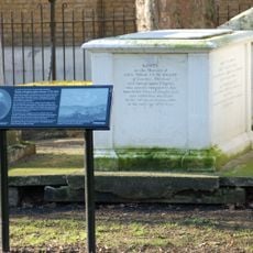
Hunter Family Tomb, St John At Hackney Churchyard Gardens
1.1 km
Salvation Army Congress Hall
885 m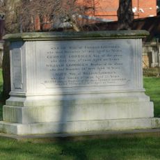
Loddiges Family Tomb, St John At Hackney Churchyard Gardens
1.1 km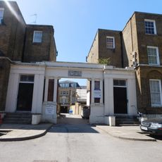
The Salvation Army Mothers' Hospital, Front Buildings
1.1 km
Railings Around Clapton Square Garden
1.1 km
Verger's House To United Reformed Church
921 m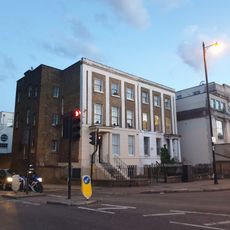
26 And 28, Lower Clapton Road E5
948 m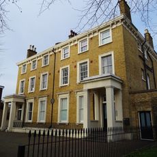
126 And 128, Lower Clapton Road E5
1.1 km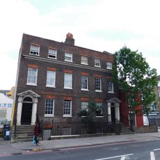
140 And 142, Homerton High Street E9
711 m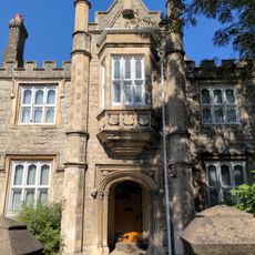
St Barnabas's Vicarage
600 m
Friends Bridge
925 mReviews
Visited this place? Tap the stars to rate it and share your experience / photos with the community! Try now! You can cancel it anytime.
Discover hidden gems everywhere you go!
From secret cafés to breathtaking viewpoints, skip the crowded tourist spots and find places that match your style. Our app makes it easy with voice search, smart filtering, route optimization, and insider tips from travelers worldwide. Download now for the complete mobile experience.

A unique approach to discovering new places❞
— Le Figaro
All the places worth exploring❞
— France Info
A tailor-made excursion in just a few clicks❞
— 20 Minutes