Chest opened
+${chestReward.xp} XP
Explorer
NOUVEAU ×${chestReward.collectible.quantity}
tapez pour fermer
Chest locked

Open chests in the app

Around Us is built for your phone — chests unlock when you walk, explore and capture nearby places.

Enable Location

We need your location to show you interesting places around you

Discover nearby places

Find interesting locations and hidden gems around you

Precise directions

Get accurate directions and distances to places

Your location is never shared with other users. It's only used when you tap the location button.

Dardanelle

Log in to your account

Start exploring — it's free

Trusted by 72,907 travelers worldwide

Continue with Google
Continue with Apple
or

We will send you a code to connect

By continuing, you accept our Terms and Conditions and our Privacy Policy

Check your inbox

We've sent a pincode in your inbox. Please enter the code below.

Discussion Reviews 1 Photos
28k Popularity

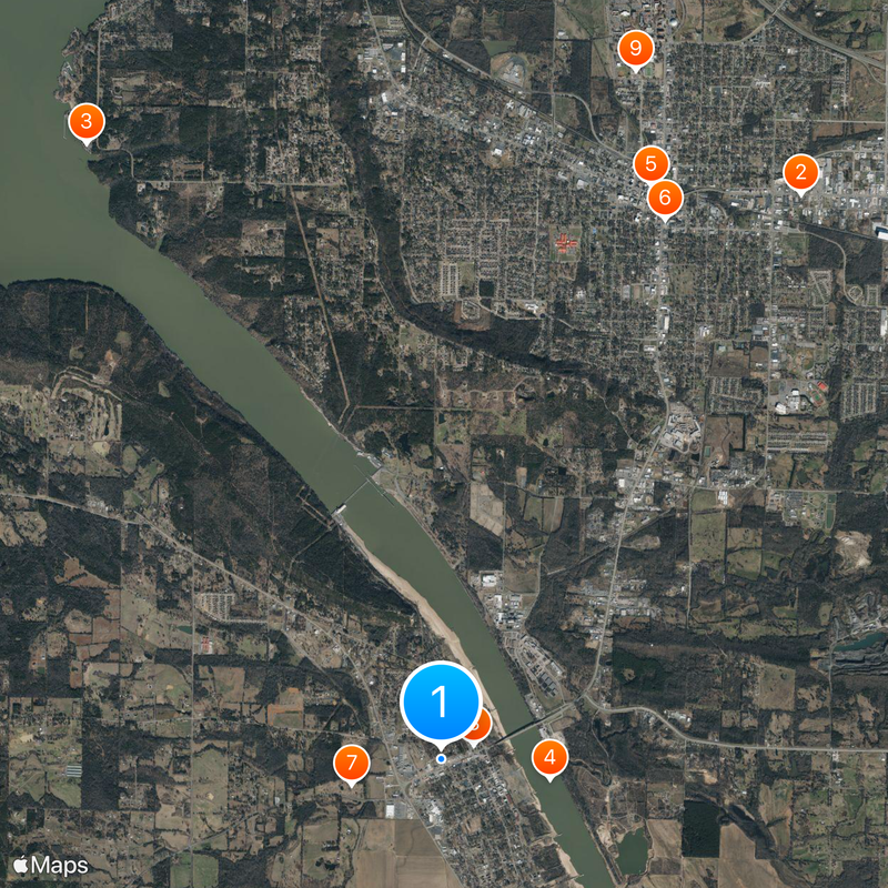
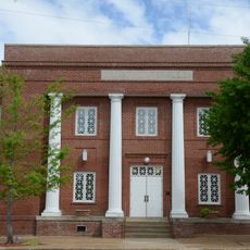
Dardanelle, County seat in Yell County, Arkansas, United States

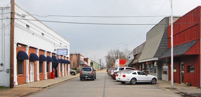
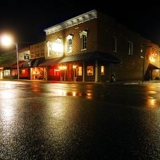
Dardanelle is a town that sits alongside the Arkansas River with tree-lined streets running through its residential and commercial areas. The town spreads across a moderate area with a low elevation on the river's banks.

The town began as a river trading post in the early 19th century and received its official incorporation charter within a decade. This river-based origin shaped its growth as a transportation hub for the surrounding region.

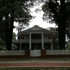
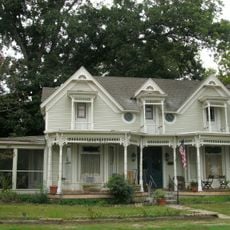
The community carries traces of 19th-century settlers from Germany and Bohemia, whose families left marks on local traditions and the way people gather and celebrate together. This heritage shapes how residents connect to their town today.

The town offers recreational spaces like Merritt Park, which has baseball fields, soccer grounds, basketball courts, and walking paths for outdoor activities. These facilities make it straightforward to explore the area on foot and enjoy the riverside setting.

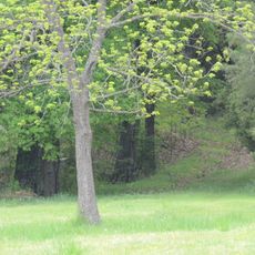
An important agreement between Cherokee leaders and the United States government was signed under two large oak trees in the early 19th century, establishing territorial boundaries. This oak-shaded site was where two worlds negotiated their separation.

The community of curious travelers

AroundUs brings together thousands of curated places, local tips, and hidden gems, enriched daily by 60,000 contributors worldwide.

Start exploring
Location
Inception
1855
Elevation above the sea
101 m
GPS coordinates
35.22250,-93.16028
Latest update
December 20, 2025 13:02
Around this place
Old South Restaurant
United States of America

Old South Restaurant

7.3 km
United States of America

Lake Dardanelle State Park

7.8 km
Dardanelle Agriculture and Post Office
United States of America

Dardanelle Agriculture and Post Office

1.2 km
Russellville Downtown Historic District
United States of America

Russellville Downtown Historic District

6.7 km
Russellville Public Library
United States of America

Russellville Public Library

6.4 km
Brearley Cemetery
United States of America

Brearley Cemetery

1 km
Yell County Courthouse
United States of America

Yell County Courthouse

386 m
Williamson Hall
United States of America

Williamson Hall

7.8 km
Latimore Tourist Home
United States of America

Latimore Tourist Home

6.3 km
Norristown Cemetery
United States of America

Norristown Cemetery

2.5 km
Russellville Masonic Temple
United States of America

Russellville Masonic Temple

6.5 km
Wilson House
United States of America

Wilson House

6.3 km
Steamboat House
United States of America

Steamboat House

503 m
Riggs-Hamilton American Legion Post No. 20
United States of America

Riggs-Hamilton American Legion Post No. 20

6.8 km
First Presbyterian Church
United States of America

First Presbyterian Church

538 m
John W. White House
United States of America

John W. White House

6.7 km
First United Methodist Church
United States of America

First United Methodist Church

608 m
Thomas James Cotton House
United States of America

Thomas James Cotton House

491 m
W.J. White House
United States of America

W.J. White House

6.8 km
Henry R. Koen Forest Service Building
United States of America

Henry R. Koen Forest Service Building

6.5 km
Berry House
United States of America

Berry House

787 m
Mountain View School
United States of America

Mountain View School

6 km
United States of America

William H. Norwood House

6.7 km
United States of America

Dardanelle Pontoon Bridge

929 m
United States of America

Kaleidoclasm The Gallery

6.7 km

Lemley House Art Guild

6.7 km
United States of America

Arkansas River Valley Arts Center

7.3 km
United States of America

Pope County Fairgrounds

6.8 km
Show the full map
Reviews
Share your experience

No review yet

Discussions
Start a discussion...

No discussion yet

« Dardanelle - County seat in Yell County, Arkansas, United States » is provided by Around Us (aroundus.com). Images and texts are derived from Wikimedia project under a Creative Commons license. You are allowed to copy, distribute, and modify copies of this page, under the conditions set by the license, as long as this note is clearly visible.

Discover hidden gems everywhere you go!

From secret cafés to breathtaking viewpoints, skip the crowded tourist spots and find places that match your style. Our app makes it easy with voice search, smart filtering, route optimization, and insider tips from travelers worldwide. Download now for the complete mobile experience.

Around Us App Screenshot

A unique approach to discovering new places

Le Figaro

All the places worth exploring

France Info

A tailor-made excursion in just a few clicks

20 Minutes

Around Us
Travel Guide & Maps
Download

Send to your phone

QR Code
1

Open the camera app on your mobile.

2

Point at the QR code with your camera. A notification will appear.

3

Tap the notification to open the link.