Enable Location

We need your location to show you interesting places around you

Discover nearby places

Find interesting locations and hidden gems around you

Precise directions

Get accurate directions and distances to places

Your location is never shared with other users. It's only used when you tap the location button.

Rawlins County

Log in to your account

Start exploring — it's free

Trusted by 61,503 travelers worldwide

Continue with Google
Continue with Apple
or

We will send you a code to connect

By continuing, you accept our Terms and Conditions and our Privacy Policy

Check your inbox

We've sent a pincode in your inbox. Please enter the code below.

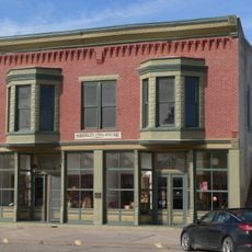
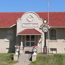
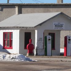
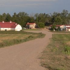
Rawlins County, County in Kansas, United States

Description

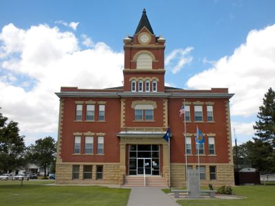
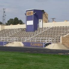
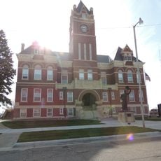
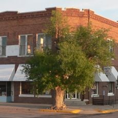
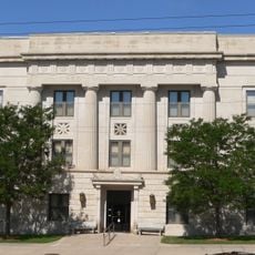
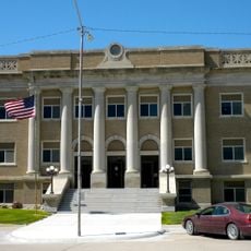
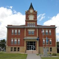
Rawlins County is an administrative division covering about 1,070 square miles of western Kansas terrain. Atwood functions as the county seat and administrative hub for the scattered communities across this region.

History

The Kansas Legislature established this county in 1873, naming it after General John A. Rawlins, a Civil War veteran who served as Secretary of War under President Grant. Its creation came during the westward expansion era when settlers were developing this frontier region.

Culture

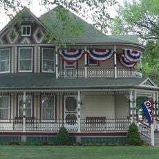
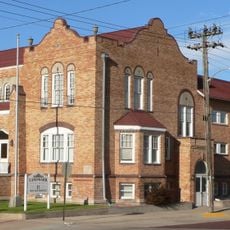
Different groups of immigrants shaped the communities here: Swedes settled in Enne, English speakers in Ilion, Hungarians in Herndon, and Germans in Ludell. You can still see these roots in local names and how each town holds onto its heritage.

Practical

The county is connected by a network of highways including U.S. Highway 36, Kansas Highway 25, and Kansas Highway 117, linking local communities and neighboring regions. These routes make it easy to travel between scattered towns by car.

Did you know?

The county operated under prohibition laws from 1986 to 2002, meaning alcohol sales were banned during that period. Residents voted in 2002 to allow alcohol sales to resume under specific local regulations.

Location
Inception
March 20, 1873
Capital city
Atwood
Shares border with
Hitchcock County, Thomas County, Red Willow County, Decatur County, Dundy County, Sherman County, Cheyenne County
GPS coordinates
39.70333,-100.81028
Latest update
December 10, 2025 16:03

AroundUs brings together thousands of curated places, local tips, and hidden gems, enriched daily by 60,000 contributors worldwide. Discover all places nearby (Kansas).

Around this place
Harvey P. Sutton House
United States of America

Harvey P. Sutton House

57.8 km
Minor Sod House
United States of America

Minor Sod House

51.3 km
Mary Seaman Ennis House
United States of America

Mary Seaman Ennis House

87.1 km
George W. Norris House
United States of America

George W. Norris House

57.9 km
Massacre Canyon Historical Monument
United States of America

Massacre Canyon Historical Monument

57.6 km
Howard T. Sawhill City Park
United States of America

Howard T. Sawhill City Park

84.9 km
St. Paul's Methodist Protestant Church
United States of America

St. Paul's Methodist Protestant Church

45.8 km
Oakley High School Stadium
United States of America

Oakley High School Stadium

63.7 km
Dundy County Courthouse
United States of America

Dundy County Courthouse

72.8 km
Bank of Oberlin
United States of America

Bank of Oberlin

27.3 km
Goodland City Library
United States of America

Goodland City Library

87.1 km
Thomas County Courthouse
United States of America

Thomas County Courthouse

39.6 km
Ideal Cement bridge (Stratton, Nebraska)
United States of America

Ideal Cement bridge (Stratton, Nebraska)

59.6 km
Beamer Barn
United States of America

Beamer Barn

66.2 km
Ruleton School
United States of America

Ruleton School

100.8 km
Shirley Opera House
United States of America

Shirley Opera House

22.8 km
McCook Public-Carnegie Library
United States of America

McCook Public-Carnegie Library

57.6 km
Weyl Service Station
United States of America

Weyl Service Station

55.3 km
Kuhrt Ranch
United States of America

Kuhrt Ranch

68.2 km
Henry Hickert Building
United States of America

Henry Hickert Building

62.1 km
Red Willow County Courthouse
United States of America

Red Willow County Courthouse

57.7 km
Norcatur City Hall
United States of America

Norcatur City Hall

55.1 km
McCook YMCA
United States of America

McCook YMCA

57.7 km
Cheyenne County Courthouse
United States of America

Cheyenne County Courthouse

85 km
Fick Fossil and History Museum
United States of America

Fick Fossil and History Museum

64.2 km
World's Largest Easel
United States of America

World's Largest Easel

86.9 km
United States of America

Highland Precinct

76.8 km
Giant van Gogh Painting
United States of America

Giant van Gogh Painting

86.9 km
Show the full map
Administrative divisions
« Rawlins County - County in Kansas, United States » is provided by Around Us (aroundus.com). Images and texts are derived from Wikimedia project under a Creative Commons license. You are allowed to copy, distribute, and modify copies of this page, under the conditions set by the license, as long as this note is clearly visible.

Discover hidden gems everywhere you go!

From secret cafés to breathtaking viewpoints, skip the crowded tourist spots and find places that match your style. Our app makes it easy with voice search, smart filtering, route optimization, and insider tips from travelers worldwide. Download now for the complete mobile experience.

Around Us App Screenshot

A unique approach to discovering new places

Le Figaro

All the places worth exploring

France Info

A tailor-made excursion in just a few clicks

20 Minutes

Around Us
Travel Guide & Maps
Download

Send to your phone

QR Code
1

Open the camera app on your mobile.

2

Point at the QR code with your camera. A notification will appear.

3

Tap the notification to open the link.