Enable Location

We need your location to show you interesting places around you

Discover nearby places

Find interesting locations and hidden gems around you

Precise directions

Get accurate directions and distances to places

Your location is never shared with other users. It's only used when you tap the location button.

Ogle County

Log in to your account

Start exploring — it's free

Trusted by 61,922 travelers worldwide

Continue with Google
Continue with Apple
or

We will send you a code to connect

By continuing, you accept our Terms and Conditions and our Privacy Policy

Check your inbox

We've sent a pincode in your inbox. Please enter the code below.

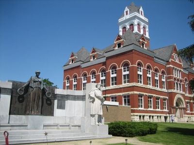
Ogle County, Administrative county in northern Illinois, United States

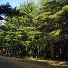
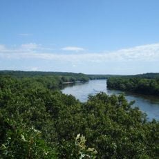
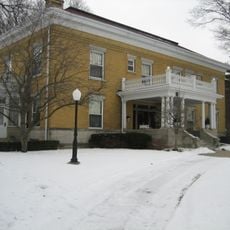
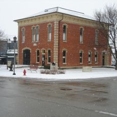
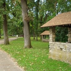
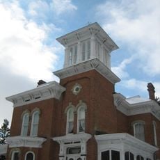
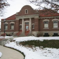
Ogle County spans northern Illinois with rolling hills, farmland, and forested areas throughout its landscape. The administrative center in Oregon handles all county services for the region.

The county was established in 1836 and named after Captain Joseph Ogle, a Revolutionary War veteran who had settled in Illinois during the 1780s. This early founder helped shape the region's initial development.

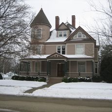
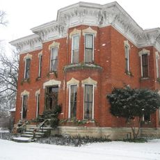
Early settlers from New England shaped local communities through their values and opposition to slavery. These principles remain visible in the region's identity today.

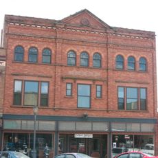
Visitors find key public services in Oregon, including voter registration, property records, and law enforcement offices. The rural layout means having a car is helpful for getting around.

Since the Republican Party's founding in 1856, this county has voted Republican in every presidential election without interruption. This represents an unusual streak in American voting patterns.

The community of curious travelers

AroundUs brings together thousands of curated places, local tips, and hidden gems, enriched daily by 60,000 contributors worldwide.

Start exploring
Location
Inception
January 16, 1836
Capital city
Oregon
Shares border with
Winnebago County, Lee County, Boone County, Stephenson County, DeKalb County, Carroll County, Whiteside County
GPS coordinates
42.04000,-89.32000
Latest update
December 22, 2025 23:12
Around this place
Black Hawk Statue
United States of America

Black Hawk Statue

1.3 km
White Pines Forest State Park
United States of America

White Pines Forest State Park

13.2 km
Lowden State Park
United States of America

Lowden State Park

1 km
United States of America

Nachusa Grasslands

16.7 km
United States of America

Stronghold Center

2 km
Rochelle Railroad Park
United States of America

Rochelle Railroad Park

24.5 km
Castle Rock State Park
United States of America

Castle Rock State Park

9.4 km
White Pines State Park Lodge and Cabins
United States of America

White Pines State Park Lodge and Cabins

9.5 km
Stillman's Run Battle Site
United States of America

Stillman's Run Battle Site

13.7 km
Chana School
United States of America

Chana School

2.5 km
The Soldiers' Monument
United States of America

The Soldiers' Monument

3.1 km
John McGrath House
United States of America

John McGrath House

22.1 km
Illinois Freedom Bell
United States of America

Illinois Freedom Bell

9.5 km
William H. Holcomb House
United States of America

William H. Holcomb House

24.7 km
Polo Independent Order of Odd Fellows Lodge No. 197
United States of America

Polo Independent Order of Odd Fellows Lodge No. 197

22.1 km
Bryant H. and Lucie Barber House
United States of America

Bryant H. and Lucie Barber House

22.1 km
Flagg Township Museum
United States of America

Flagg Township Museum

24.7 km
Oregon City Hall
United States of America

Oregon City Hall

2.9 km
Lowell Park
United States of America

Lowell Park

22.1 km
Pinehill Inn
United States of America

Pinehill Inn

2.9 km
Buffalo Grove Lime Kiln
United States of America

Buffalo Grove Lime Kiln

22.1 km
Flagg Township Public Library
United States of America

Flagg Township Public Library

24.7 km
Iron Mike (fountain)
United States of America

Iron Mike (fountain)

3 km
Buffalo Township Public Library
United States of America

Buffalo Township Public Library

22.1 km
Soldier's Monument
United States of America

Soldier's Monument

11.1 km
Samuel M. Hitt House
United States of America

Samuel M. Hitt House

9.5 km
William Moats Farm
United States of America

William Moats Farm

10.9 km
Village of Davis Junction Town Hall
United States of America

Village of Davis Junction Town Hall

19.5 km
Show the full map
« Ogle County - Administrative county in northern Illinois, United States » is provided by Around Us (aroundus.com). Images and texts are derived from Wikimedia project under a Creative Commons license. You are allowed to copy, distribute, and modify copies of this page, under the conditions set by the license, as long as this note is clearly visible.

Discover hidden gems everywhere you go!

From secret cafés to breathtaking viewpoints, skip the crowded tourist spots and find places that match your style. Our app makes it easy with voice search, smart filtering, route optimization, and insider tips from travelers worldwide. Download now for the complete mobile experience.

Around Us App Screenshot

A unique approach to discovering new places

Le Figaro

All the places worth exploring

France Info

A tailor-made excursion in just a few clicks

20 Minutes

Around Us
Travel Guide & Maps
Download

Send to your phone

QR Code
1

Open the camera app on your mobile.

2

Point at the QR code with your camera. A notification will appear.

3

Tap the notification to open the link.