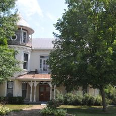
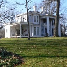
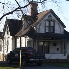
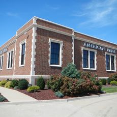
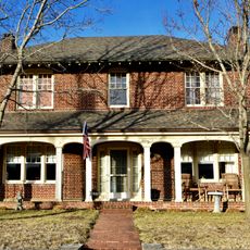
Montgomery County, County in east-central Missouri, United States
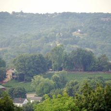
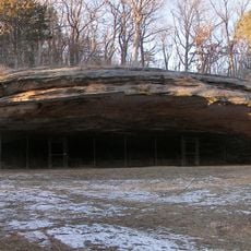
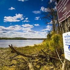
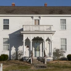
Montgomery County is an administrative division in east-central Missouri with rolling hills, farmland, and scattered residential communities throughout its area. The landscape is shaped by numerous farms and rural settlements distributed across the territory.
The county was established on December 14, 1818, by the Missouri State Legislature and named after General Richard Montgomery of the American Revolution. This early founding during westward expansion made it part of the region's growing settlement period.
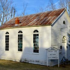
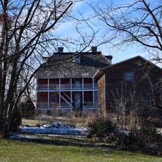
The county preserves rural traditions visible in how farmers work the land and manage their properties across generations. Local people maintain deep connections to agriculture and the seasons that shape life here.
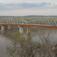
Interstate 70 runs through the southern portion of the county, connecting it to major cities like St. Louis and Kansas City. This main highway makes travel straightforward for visitors exploring the region.
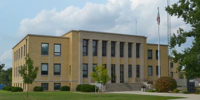
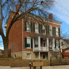
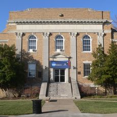
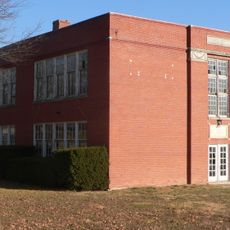
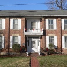
Montgomery City serves as the county seat and largest municipality, concentrating administrative functions and local services in one place. This small city anchors the region's civic life and governance.
Location: Missouri
Inception: December 14, 1818
Capital city: Montgomery City
Shares border with: Pike County, Lincoln County, Warren County, Gasconade County, Osage County, Callaway County, Audrain County
Website: http://mcmo.us
GPS coordinates: 38.94000,-91.47000
Latest update: December 7, 2025 20:50
National Churchill Museum
43.2 km
Stone Hill Winery
27.2 km
Graham Cave State Park
9.9 km
Graham Cave
9.7 km
Big Muddy National Fish and Wildlife Refuge
43.6 km
Deutschheim State Historic Site
26.2 km
Westminster College Gymnasium
43.4 km
Christopher S. Bond Bridge
25.8 km
Hermann Bridge
25.8 km
George Washington Carver School
43 km
Ernst Schowengerdt House
31.7 km
AME Church of New Haven
42.6 km
Hermann Historic District
26.3 km
Sylvester Marion and Frances Anne Stephens Baker House
6.1 km
Lincoln School
40.6 km
Brandon-Bell-Collier House
42.2 km
John Augustus Hockaday House
42.9 km
M. Fred Bell Speculative Cottage
42.3 km
Southwestern Bell Repeater Station-Wright City
38.8 km
New Haven Residential Historic District
42.6 km
Downtown Fulton Historic District
42.7 km
Robnett-Payne House
42.4 km
M. Fred Bell Rental Cottage
42.3 km
Court Street Historic Residential District
42.5 km
New Haven Commercial Historic District
42.5 km
Farmers Mercantile Co. Building
10.1 km
Huber's Ferry Farmstead Historic District
39.4 km
Dr. George M. Willing House
42.9 kmVisited this place? Tap the stars to rate it and share your experience / photos with the community! Try now! You can cancel it anytime.
Discover hidden gems everywhere you go!
From secret cafés to breathtaking viewpoints, skip the crowded tourist spots and find places that match your style. Our app makes it easy with voice search, smart filtering, route optimization, and insider tips from travelers worldwide. Download now for the complete mobile experience.
A unique approach to discovering new places❞
— Le Figaro
All the places worth exploring❞
— France Info
A tailor-made excursion in just a few clicks❞
— 20 Minutes