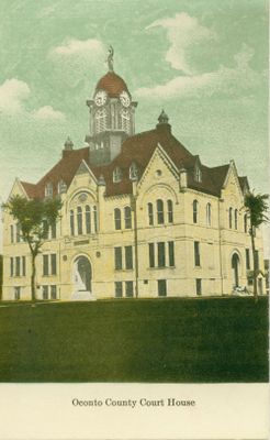
Oconto County, Administrative county in northeastern Wisconsin, United States
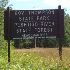
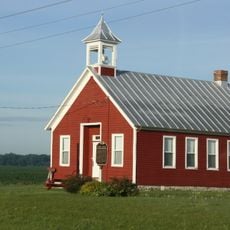
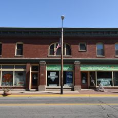
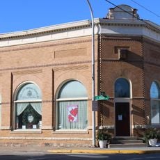
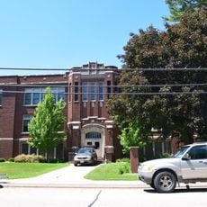
Oconto County is an administrative division in northeastern Wisconsin with the city of Oconto serving as its county seat. The territory comprises forested regions, waterways, and farmland that form the backbone of the county's landscape.
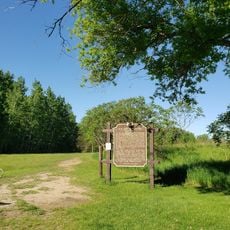
The county was formally organized in 1851 as settlement expanded across northeastern Wisconsin. Early development was driven by timber operations and later by agricultural and dairy farming, which became central to the local economy.
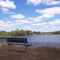
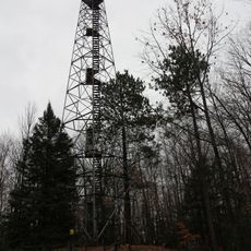
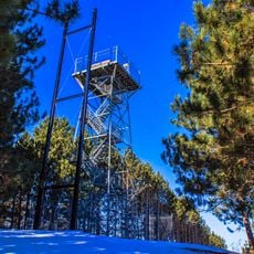
Residents here embrace outdoor recreation as a central part of daily life, with trails and forests serving as gathering places for hunting, fishing, and seasonal activities. This connection to nature shapes how people spend their leisure time and defines local identity.
The county is accessible by car via well-maintained roads connecting its towns and rural areas, with clear signage throughout the region. Visitors should plan for travel times between locations as the area spans considerable distance.
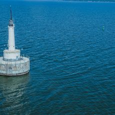
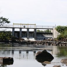
The region has a long heritage of freshwater fishing, with local lakes and rivers supporting both commercial and recreational operations for generations. This tradition remains an important part of the local economy and leisure pursuits.
The community of curious travelers
AroundUs brings together thousands of curated places, local tips, and hidden gems, enriched daily by 60,000 contributors worldwide.