Enable Location

We need your location to show you interesting places around you

Discover nearby places

Find interesting locations and hidden gems around you

Precise directions

Get accurate directions and distances to places

Your location is never shared with other users. It's only used when you tap the location button.

Marlboro County

Log in to your account

Start exploring — it's free

Trusted by 63,672 travelers worldwide

Continue with Google
Continue with Apple
or

We will send you a code to connect

By continuing, you accept our Terms and Conditions and our Privacy Policy

Check your inbox

We've sent a pincode in your inbox. Please enter the code below.

Discussion Reviews 1 Photos
18k Popularity

Marlboro County, Administrative county in northeastern South Carolina, United States.

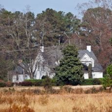
Marlboro County is an administrative county in the northeastern section of South Carolina. The Great Pee Dee River marks its western boundary, while Bennettsville functions as the county seat in the center.

The county was established in 1785 and named after John Churchill, the first Duke of Marlborough. It suffered significant destruction during Sherman's 1865 military campaign through the region.

The Pee Dee Indian Tribe maintains its presence in the region, preserving centuries-old traditions within Marlboro County's boundaries.

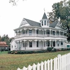
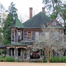
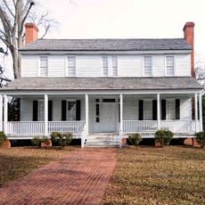
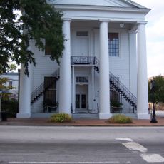
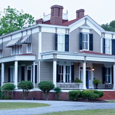
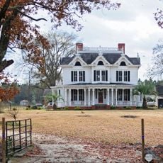
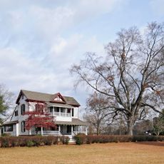
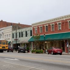
Bennettsville serves as the main hub for administrative services and local governance in the area. Visitors can find basic amenities and helpful information there about visiting the region.

Welsh Neck was founded in 1737 by Welsh Baptists from Delaware, making it the first European settlement along the Great Pee Dee River. This pioneering community shaped the religious and cultural character of the entire region.

The community of curious travelers

AroundUs brings together thousands of curated places, local tips, and hidden gems, enriched daily by 60,000 contributors worldwide.

Start exploring
Location
Inception
1798
Capital city
Bennettsville
Shares border with
Richmond County, Scotland County, Robeson County, Anson County, Chesterfield County, Darlington County, Florence County, Dillon County
GPS coordinates
34.60000,-79.68000
Latest update
December 7, 2025 19:23
Around this place
John Blue House
United States of America

John Blue House

24.1 km
Cotton Press
United States of America

Cotton Press

32.5 km
St. David's Episcopal Church and Cemetery
United States of America

St. David's Episcopal Church and Cemetery

21.1 km
Pegues Place
United States of America

Pegues Place

30.8 km
Robert Smalls School
United States of America

Robert Smalls School

21.8 km
E. Hervey Evans House
United States of America

E. Hervey Evans House

27.6 km
Bennettsville Historic District
United States of America

Bennettsville Historic District

1.8 km
Clio Historic District
United States of America

Clio Historic District

12.4 km
Jennings-Brown House
United States of America

Jennings-Brown House

234 m
Central School
United States of America

Central School

27.6 km
Magnolia House
United States of America

Magnolia House

2.2 km
Cheraw Historic District
United States of America

Cheraw Historic District

21.9 km
Robertson-Easterling-McLaurin House
United States of America

Robertson-Easterling-McLaurin House

10.9 km
Wilds-Edwards House
United States of America

Wilds-Edwards House

38.1 km
Charles S. McCullough House
United States of America

Charles S. McCullough House

38 km
McLaurin House
United States of America

McLaurin House

13.6 km
Mag Blue House
United States of America

Mag Blue House

24.2 km
McLaurin-Roper-McColl Farmstead
United States of America

McLaurin-Roper-McColl Farmstead

10.7 km
Manship Farmstead
United States of America

Manship Farmstead

10.1 km
Darlington Downtown Historic District
United States of America

Darlington Downtown Historic District

37.5 km
Appin
United States of America

Appin

3.5 km
Julius A. Dargan House
United States of America

Julius A. Dargan House

38 km
John Hayes Farmstead
United States of America

John Hayes Farmstead

32.5 km
Thomas J. Gill House
United States of America

Thomas J. Gill House

27.8 km
Mrs. B.F. Williamson House
United States of America

Mrs. B.F. Williamson House

37.1 km
McRae-McQueen House
United States of America

McRae-McQueen House

24.5 km
Selkirk Farm
United States of America

Selkirk Farm

21.8 km
Cashua Street-Spring Street Historic District
United States of America

Cashua Street-Spring Street Historic District

36.9 km
Show the full map
Reviews
Share your experience

No review yet

Discussions
Start a discussion...

No discussion yet

Administrative divisions
« Marlboro County - Administrative county in northeastern South Carolina, United States » is provided by Around Us (aroundus.com). Images and texts are derived from Wikimedia project under a Creative Commons license. You are allowed to copy, distribute, and modify copies of this page, under the conditions set by the license, as long as this note is clearly visible.

Discover hidden gems everywhere you go!

From secret cafés to breathtaking viewpoints, skip the crowded tourist spots and find places that match your style. Our app makes it easy with voice search, smart filtering, route optimization, and insider tips from travelers worldwide. Download now for the complete mobile experience.

Around Us App Screenshot

A unique approach to discovering new places

Le Figaro

All the places worth exploring

France Info

A tailor-made excursion in just a few clicks

20 Minutes

Around Us
Travel Guide & Maps
Download

Send to your phone

QR Code
1

Open the camera app on your mobile.

2

Point at the QR code with your camera. A notification will appear.

3

Tap the notification to open the link.