South Carolina, U.S. state in the Southeast region, United States
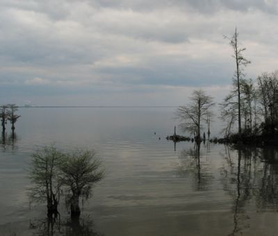
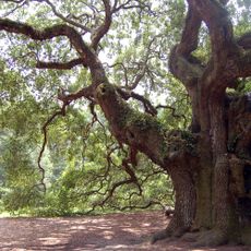
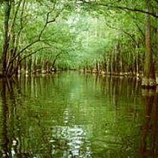
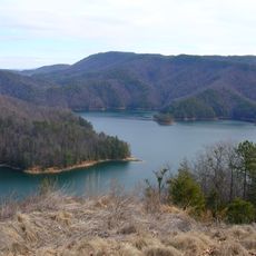
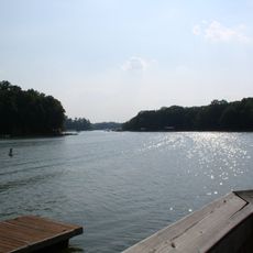
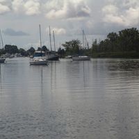
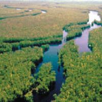
The state stretches from the Blue Ridge Mountains through rolling Piedmont hills to the Atlantic coastal plain, covering 82,931 square kilometers of varied terrain. Broad sandy beaches and salt marshes line the coast, while inland forests transition to wooded slopes rising toward forested peaks in the western part of the region.
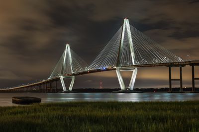
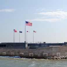
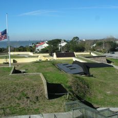
The region became the first to leave the Union in 1860, triggering the Civil War that began at Fort Sumter in Charleston harbor. This decision reshaped American history and left traces visible today in monuments and memorials scattered throughout the territory.
The Gullah people along the coast preserve their language and way of life through crafts, songs and rice-based dishes that visitors can experience firsthand in local communities. Regular festivals and public markets bring families together to weave sweetgrass baskets and share recipes passed down through generations, maintaining traditions rooted in West African heritage.
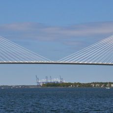
Columbia International Airport offers connections to major cities across the country, while Interstate 95 runs along the eastern side from Georgia to North Carolina. Visitors driving through the region will find public parking widely available near beaches and mountain trails, though summer brings heat and humidity that are most intense near the coast.
More than 47 native snake species live throughout the region, including the eastern diamondback rattlesnake found in habitats ranging from mountains to coastline. Many of these reptiles can be spotted in wetlands and forest clearings, especially during spring when temperatures warm and animals become more active.
The community of curious travelers
AroundUs brings together thousands of curated places, local tips, and hidden gems, enriched daily by 60,000 contributors worldwide.