Enable Location

We need your location to show you interesting places around you

Discover nearby places

Find interesting locations and hidden gems around you

Precise directions

Get accurate directions and distances to places

Your location is never shared with other users. It's only used when you tap the location button.

Berkeley County

Log in to your account

Start exploring — it's free

Trusted by 61,798 travelers worldwide

Continue with Google
Continue with Apple
or

We will send you a code to connect

By continuing, you accept our Terms and Conditions and our Privacy Policy

Check your inbox

We've sent a pincode in your inbox. Please enter the code below.

Berkeley County, Administrative county in South Carolina, United States

Description

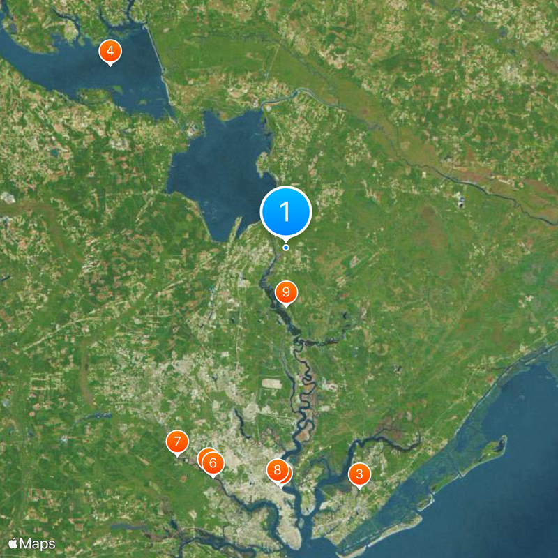
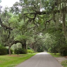
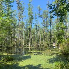
Berkeley County is an administrative area in South Carolina that spans diverse landscapes encompassing forests, rivers, and coastal zones. The territory lies between Charleston and the Francis Marion National Forest, combining rural and developed regions.

History

The area was founded in 1882 and named after Sir William Berkeley, who served as colonial governor of Virginia. Its creation was part of South Carolina's administrative reorganization following the Civil War.

Culture

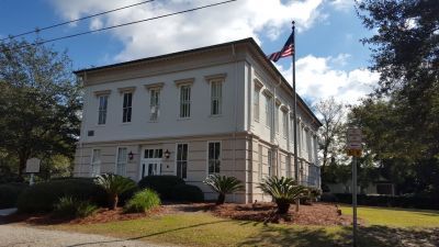
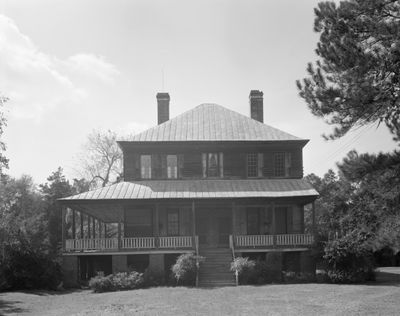
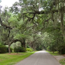
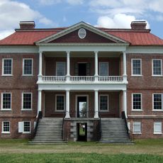
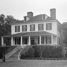
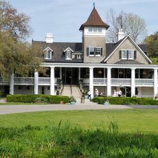
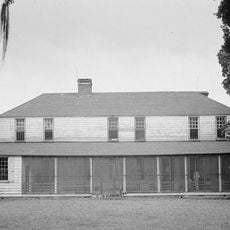
The area reflects the Lowcountry way of life, where water and land intertwine and shape how people live here. Local architecture and daily routines show strong ties to history and the natural environment.

Practical

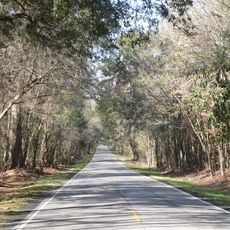
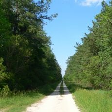
Visitors can explore the area by car, moving through different landscapes from river zones to forested regions. Moncks Corner in the center serves as a hub for local services and information.

Did you know?

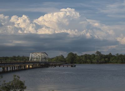
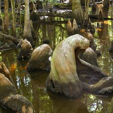
The area connects the Cooper River and Santee River systems, creating extensive water networks that have served commerce and fishing for centuries. These river connections still shape the region's economy and recreation today.

Location
Inception
1882
Capital city
Moncks Corner
Shares border with
Williamsburg County, Clarendon County, Georgetown County, Charleston County, Dorchester County, Orangeburg County
GPS coordinates
33.20000,-79.95000
Latest update
December 14, 2025 19:18

AroundUs brings together thousands of curated places, local tips, and hidden gems, enriched daily by 60,000 contributors worldwide. Discover all places nearby (South Carolina).

Around this place
H. L. Hunley
United States of America

H. L. Hunley

38.2 km
Boone Hall
United States of America

Boone Hall

40.2 km
United States of America

Lake Marion

40.5 km
Magnolia Plantation and Gardens
United States of America

Magnolia Plantation and Gardens

38.1 km
Drayton Hall
United States of America

Drayton Hall

38.5 km
Middleton Place
United States of America

Middleton Place

37.5 km
Charleston Naval Shipyard
United States of America

Charleston Naval Shipyard

37.8 km
Mepkin Abbey
United States of America

Mepkin Abbey

9.3 km
Lewisfield Plantation
United States of America

Lewisfield Plantation

6 km
Blackbaud Stadium
United States of America

Blackbaud Stadium

36.7 km
Magnolia Plantation
United States of America

Magnolia Plantation

38.2 km
Magnolia Gardens
United States of America

Magnolia Gardens

38.4 km
Cypress Gardens
United States of America

Cypress Gardens

16.9 km
Cape Romain National Wildlife Refuge
United States of America

Cape Romain National Wildlife Refuge

42.8 km
United States of America

Dorchester

34.7 km
Edmondston-Alston House
United States of America

Edmondston-Alston House

33.7 km
Boone Hall Plantation
United States of America

Boone Hall Plantation

39.9 km
Medway
United States of America

Medway

18.9 km
Colonial Dorchester State Historic Site
United States of America

Colonial Dorchester State Historic Site

34.7 km
Francis Beidler Forest
United States of America

Francis Beidler Forest

38.5 km
Mulberry Plantation (Moncks Corner, South Carolina)
United States of America

Mulberry Plantation (Moncks Corner, South Carolina)

9 km
Don N. Holt Bridge
United States of America

Don N. Holt Bridge

34.4 km
Middleburg Plantation
United States of America

Middleburg Plantation

16.6 km
Warren Lasch Conservation Center
United States of America

Warren Lasch Conservation Center

38.2 km
South Carolina Highway 61
United States of America

South Carolina Highway 61

38.1 km
James B. Edwards Bridge
United States of America

James B. Edwards Bridge

38.2 km
Hell Hole Swamp
United States of America

Hell Hole Swamp

23.2 km
Oakland Plantation House
United States of America

Oakland Plantation House

40.7 km
Show the full map
Administrative divisions
« Berkeley County - Administrative county in South Carolina, United States » is provided by Around Us (aroundus.com). Images and texts are derived from Wikimedia project under a Creative Commons license. You are allowed to copy, distribute, and modify copies of this page, under the conditions set by the license, as long as this note is clearly visible.

Discover hidden gems everywhere you go!

From secret cafés to breathtaking viewpoints, skip the crowded tourist spots and find places that match your style. Our app makes it easy with voice search, smart filtering, route optimization, and insider tips from travelers worldwide. Download now for the complete mobile experience.

Around Us App Screenshot

A unique approach to discovering new places

Le Figaro

All the places worth exploring

France Info

A tailor-made excursion in just a few clicks

20 Minutes

Around Us
Travel Guide & Maps
Download

Send to your phone

QR Code
1

Open the camera app on your mobile.

2

Point at the QR code with your camera. A notification will appear.

3

Tap the notification to open the link.