Colonial Dorchester State Historic Site, State historic park in Dorchester County, US.
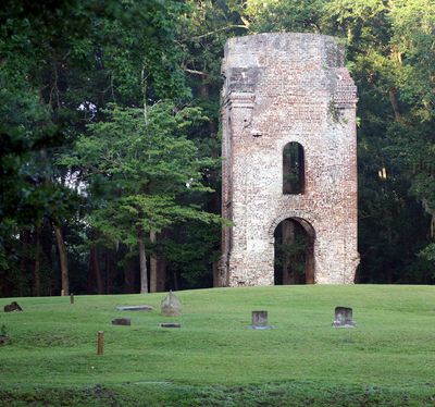
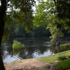
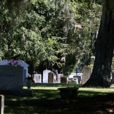
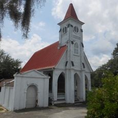
Colonial Dorchester State Historic Site is a South Carolina state park in Dorchester County that protects the remains of a colonial-era settlement along the Ashley River. The grounds contain visible stone foundations, partial walls, and the ruins of a fort and a church tower that rise above the surrounding landscape.
The settlement was founded in 1697 by a group of Congregationalists who moved south from Massachusetts and established a trading community along the river. It grew steadily for decades before declining during the American Revolutionary War, after which the site was gradually abandoned.
The ruins of the church tower still stand above the surrounding ground, giving visitors a sense of how central religious life was to this early settlement. Walking among the foundations, you can follow the rough outlines of streets and plots that once formed a working town.
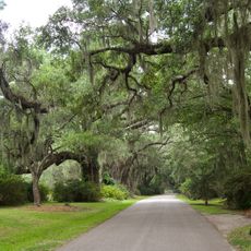
The site is explored entirely on foot, so wearing comfortable shoes makes a real difference when moving between the ruins, the fort, and the riverbank. Visiting on a weekday morning tends to give more space to look around without crowds.
The fort walls were built from tabby, an early building material made by burning and crushing oyster shells to create a rough form of concrete. The shells came from the same river environment that surrounded the town, so the builders essentially used the landscape itself as a source of raw material.
The community of curious travelers
AroundUs brings together thousands of curated places, local tips, and hidden gems, enriched daily by 60,000 contributors worldwide.