Enable Location

We need your location to show you interesting places around you

Discover nearby places

Find interesting locations and hidden gems around you

Precise directions

Get accurate directions and distances to places

Your location is never shared with other users. It's only used when you tap the location button.

Dorchester County

Log in to your account

Start exploring — it's free

Trusted by travelers worldwide

Continue with Google
Continue with Apple
or

We will send you a code to connect

By continuing, you accept our Terms and Conditions and our Privacy Policy

Check your inbox

We've sent a pincode in your inbox. Please enter the code below.

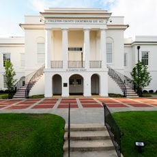
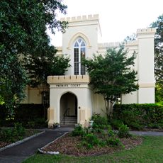
Dorchester County, County administration center in Lowcountry region, South Carolina, US.

Description

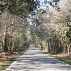
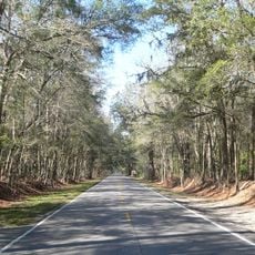
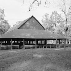
Dorchester County is an administrative area in the Lowcountry region of South Carolina that contains both residential neighborhoods and rural land. The county features parks, trails, and recreational facilities scattered throughout its territory.

History

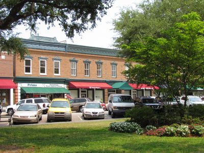
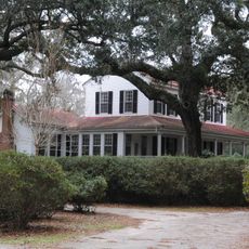
The county was founded in 1897 and grew from earlier agricultural settlements in the region. Over the 1900s, it gradually developed into a modern area with new residential and commercial growth.

Culture

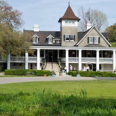
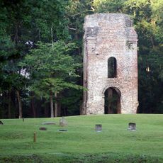
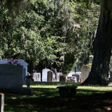
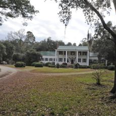
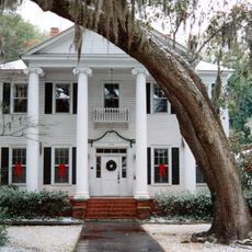
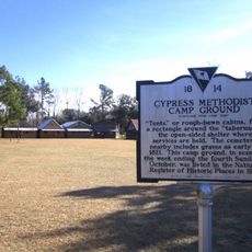
The county's communities preserve their heritage through small museums and historic sites that show how people lived here over time. Visitors can see how daily life has changed and what mattered to residents across different generations.

Practical

The county administrative center is accessible during standard business hours with offices for public services and information. Visiting on weekdays is best if you need to conduct business with specific county departments.

Did you know?

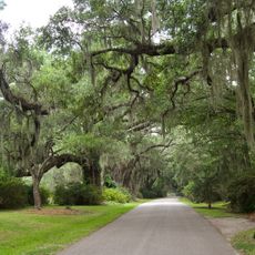
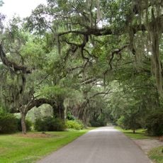
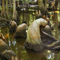
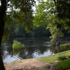
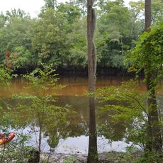
The county protects several natural areas where visitors can observe local wildlife, particularly during spring and fall migration seasons. These protected lands provide rare chances to see native bird species and other animals in their natural setting.

Location
Inception
1897
Capital city
St. George
Shares border with
Berkeley County, Bamberg County, Charleston County, Colleton County, Orangeburg County
GPS coordinates
33.08000,-80.40000
Latest update
December 24, 2025 01:53

AroundUs brings together thousands of curated places, local tips, and hidden gems, enriched daily by 60,000 contributors worldwide. Discover all places nearby (South Carolina).

Around this place
Magnolia Plantation and Gardens
United States of America

Magnolia Plantation and Gardens

37.2 km
Middleton Place
United States of America

Middleton Place

31.5 km
Magnolia Gardens
United States of America

Magnolia Gardens

36.9 km
Magnolia Plantation
United States of America

Magnolia Plantation

37 km
United States of America

Dorchester

26 km
Colonial Dorchester State Historic Site
United States of America

Colonial Dorchester State Historic Site

25.8 km
Francis Beidler Forest
United States of America

Francis Beidler Forest

17.5 km
South Carolina Highway 61
United States of America

South Carolina Highway 61

32.1 km
Givhans Ferry State Park
United States of America

Givhans Ferry State Park

5.7 km
Ashley River Historic District
United States of America

Ashley River Historic District

31.9 km
Indian Fields Methodist Campground
United States of America

Indian Fields Methodist Campground

20.9 km
Colleton State Park
United States of America

Colleton State Park

20.2 km
United States of America

Audubon Swamp Garden

36.9 km
Old White Meeting House Ruins and Cemetery
United States of America

Old White Meeting House Ruins and Cemetery

23 km
United States of America

Carroll Place

22.6 km
Ravenwood Plantation
United States of America

Ravenwood Plantation

32.6 km
United States of America

Summerville Historic District

22.3 km
Fripp-Fishburne House
United States of America

Fripp-Fishburne House

31.5 km
Colleton County Courthouse
United States of America

Colleton County Courthouse

31.8 km
Cypress Methodist Camp Ground
United States of America

Cypress Methodist Camp Ground

21.2 km
United States of America

Cattle Creek Campground

42.5 km
Old Colleton County Jail
United States of America

Old Colleton County Jail

30.7 km
Hotel Albert Commercial Block
United States of America

Hotel Albert Commercial Block

31.4 km
Appleby's Methodist Church
United States of America

Appleby's Methodist Church

24.2 km
Walterboro Historic District
United States of America

Walterboro Historic District

30.3 km
Hickory Valley Historic District
United States of America

Hickory Valley Historic District

31.1 km
United States of America

McCoy Farmstead

26.7 km
Walterboro Library Society Building
United States of America

Walterboro Library Society Building

30.7 km
Show the full map
Administrative divisions
« Dorchester County - County administration center in Lowcountry region, South Carolina, US » is provided by Around Us (aroundus.com). Images and texts are derived from Wikimedia project under a Creative Commons license. You are allowed to copy, distribute, and modify copies of this page, under the conditions set by the license, as long as this note is clearly visible.

Discover hidden gems everywhere you go!

From secret cafés to breathtaking viewpoints, skip the crowded tourist spots and find places that match your style. Our app makes it easy with voice search, smart filtering, route optimization, and insider tips from travelers worldwide. Download now for the complete mobile experience.

Around Us App Screenshot

A unique approach to discovering new places

Le Figaro

All the places worth exploring

France Info

A tailor-made excursion in just a few clicks

20 Minutes

Around Us
Travel Guide & Maps
Download

Send to your phone

QR Code
1

Open the camera app on your mobile.

2

Point at the QR code with your camera. A notification will appear.

3

Tap the notification to open the link.