Givhans Ferry State Park, State park in Dorchester County, US
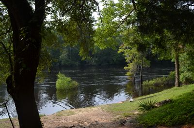
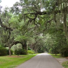
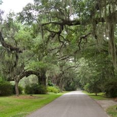
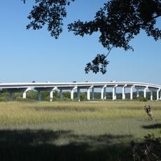
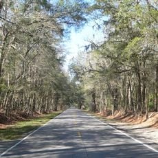
Givhans Ferry State Park is a public park in Dorchester County, South Carolina, set along the Edisto River with wooded trails, riverside access, and four permanent cabins for overnight stays. The terrain mixes dense forest with open riverbank, giving visitors a clear sense of the Lowcountry landscape.
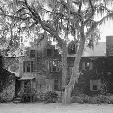
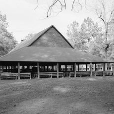
The park was established in 1934 as part of South Carolina's push to create public recreation spaces during a period of economic hardship. Its buildings and facilities were constructed by the Civilian Conservation Corps, a federal work program of that era.
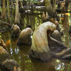
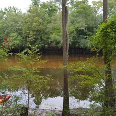
The park reflects traditional outdoor recreation that has long shaped life in the Lowcountry, where fishing, paddling, and walking through forests remain central to how people experience the river. The blackwater ecosystem defines the landscape and invites visitors to move through it in these time-honored ways.
The park is open from May through September and has camping spots, walking trails, fishing areas, and a launch point for kayaks and canoes. Arriving early in the day makes it easier to find a good spot along the river before it gets busy.
The park sits at the end of one of the longest stretches of free-flowing blackwater river that paddlers can travel without any portage or interruption in North America. Those who start upstream at the nearby Colleton State Park often finish their multi-day paddle journey right here.
The community of curious travelers
AroundUs brings together thousands of curated places, local tips, and hidden gems, enriched daily by 60,000 contributors worldwide.