St. George, Administrative division in Dorchester County, South Carolina, US.
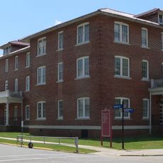
St. George is a small administrative town in Dorchester County, South Carolina, that provides basic municipal services to its residents. The place has a town hall and local facilities that support the everyday needs of the community.
The town started as a settlement in Dorchester County and grew into a structured administrative center for the local region. Over time, it built its local institutions to serve the growing needs of its residents.
The town center revolves around Ridge Street, where daily administrative work and community gatherings take place. This reflects how a small American community manages its own affairs and serves its residents.
The best way to navigate is by using Ridge Street as your main reference point, where the main services are located. Visitors should arrive during regular business hours to access local facilities and services.
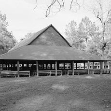
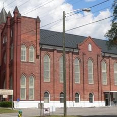
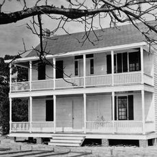
The town displays the typical structure of a small American administrative center, where most public matters concentrate around just a few central locations. This makes it easy to understand how local communities are organized in the rural South.
The community of curious travelers
AroundUs brings together thousands of curated places, local tips, and hidden gems, enriched daily by 60,000 contributors worldwide.