·

Enable Location

We need your location to show you interesting places around you

Discover nearby places

Find interesting locations and hidden gems around you

Precise directions

Get accurate directions and distances to places

Your location is never shared with other users. It's only used when you tap the location button.

South Carolina Highway 61

Log in to your account

Start exploring — it's free

Trusted by 62,653 travelers worldwide

Continue with Google
Continue with Apple
or

We will send you a code to connect

By continuing, you accept our Terms and Conditions and our Privacy Policy

Check your inbox

We've sent a pincode in your inbox. Please enter the code below.

South Carolina Highway 61, highway in South Carolina

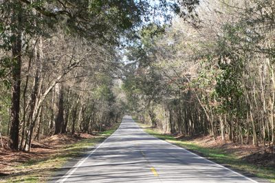
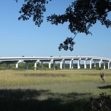
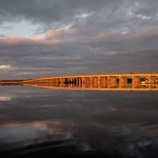
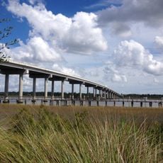
South Carolina Highway 61 is a road running across the state and flowing mostly east-west through four counties. It connects Charleston to the area near Branchville, passing through neighborhoods, rural lands, and historic sections that show different sides of the landscape.

The road received building approval in 1691 and was completed around 1721 to connect Charleston with lands across the Ashley River. It likely traces an even older path that Native Americans used for trading through the area.

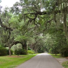
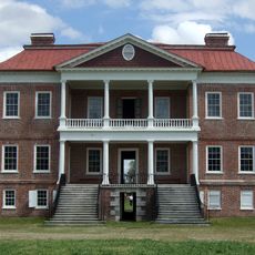
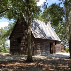
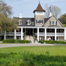
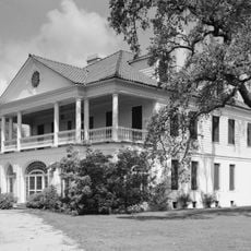
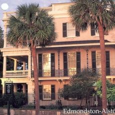
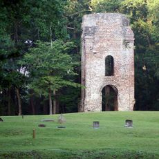
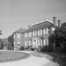
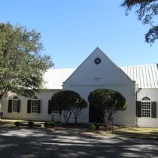
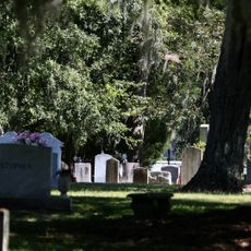
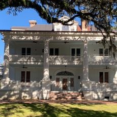
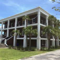
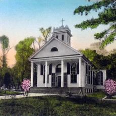
The road carries names reflecting its connection to the Ashley River and early colonial settlement. The area shows how religion and plantation agriculture shaped local life, visible today in the old churches and preserved structures that line the route.

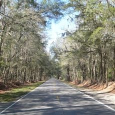
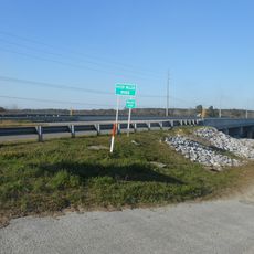
The Ashley River Road section stretches about 11 miles and is well-marked with signs pointing to historic sites and parks. This main route offers multiple stopping points along the way where you can exit to explore historic locations and local areas.

Some sections of this road may trace back to an even older path used for thousands of years by Native Americans for trading. This makes it potentially one of the oldest continuously used routes in the region.

The community of curious travelers

AroundUs brings together thousands of curated places, local tips, and hidden gems, enriched daily by 60,000 contributors worldwide.

Start exploring
Location
Inception
1923
GPS coordinates
32.89530,-80.13560
Latest update
February 7, 2026 11:40
Around this place
Magnolia Plantation and Gardens
United States of America

Magnolia Plantation and Gardens

5.3 km
Drayton Hall
United States of America

Drayton Hall

6.2 km
Middleton Place
United States of America

Middleton Place

747 m
Charleston Naval Shipyard
United States of America

Charleston Naval Shipyard

16.4 km
Charles Towne Landing
United States of America

Charles Towne Landing

17 km
Magnolia Plantation
United States of America

Magnolia Plantation

5 km
Lowndes Grove
United States of America

Lowndes Grove

19 km
Edmondston-Alston House
United States of America

Edmondston-Alston House

12.7 km
Colonial Dorchester State Historic Site
United States of America

Colonial Dorchester State Historic Site

6.9 km
Don N. Holt Bridge
United States of America

Don N. Holt Bridge

16.1 km
Warren Lasch Conservation Center
United States of America

Warren Lasch Conservation Center

17.2 km
Fenwick Hall
United States of America

Fenwick Hall

18.5 km
John F. Limehouse Memorial Bridge
United States of America

John F. Limehouse Memorial Bridge

12.5 km
Ashley River Historic District
United States of America

Ashley River Historic District

2.3 km
General William C. Westmoreland Bridge
United States of America

General William C. Westmoreland Bridge

12.3 km
St. Andrews Episcopal Church
United States of America

St. Andrews Episcopal Church

10.2 km
Old White Meeting House Ruins and Cemetery
United States of America

Old White Meeting House Ruins and Cemetery

9.6 km
Paul Gelegotis Bridge
United States of America

Paul Gelegotis Bridge

19.7 km
Royal Lanes Family Entertainment Center
United States of America

Royal Lanes Family Entertainment Center

15.2 km
Inouye Marksmanship Center
United States of America

Inouye Marksmanship Center

19.4 km
Charleston Navy Yard Officers' Quarters Historic District
United States of America

Charleston Navy Yard Officers' Quarters Historic District

15.8 km
Stono River Slave Rebellion Site
United States of America

Stono River Slave Rebellion Site

12.1 km
Standard Oil Company Headquarters
United States of America

Standard Oil Company Headquarters

19.1 km
Charles Towne Landing State Historic Site
United States of America

Charles Towne Landing State Historic Site

17.2 km
St. Paul's Church
United States of America

St. Paul's Church

14.1 km
Regal Charles Towne Square Stadium 18
United States of America

Regal Charles Towne Square Stadium 18

11.6 km
MWR Bowling Center
United States of America

MWR Bowling Center

16.7 km
Coastal Carolina Fair
United States of America

Coastal Carolina Fair

11.7 km
Show the full map
« South Carolina Highway 61 - highway in South Carolina » is provided by Around Us (aroundus.com). Images and texts are derived from Wikimedia project under a Creative Commons license. You are allowed to copy, distribute, and modify copies of this page, under the conditions set by the license, as long as this note is clearly visible.

Discover hidden gems everywhere you go!

From secret cafés to breathtaking viewpoints, skip the crowded tourist spots and find places that match your style. Our app makes it easy with voice search, smart filtering, route optimization, and insider tips from travelers worldwide. Download now for the complete mobile experience.

Around Us App Screenshot

A unique approach to discovering new places

Le Figaro

All the places worth exploring

France Info

A tailor-made excursion in just a few clicks

20 Minutes

Around Us
Travel Guide & Maps
Download

Send to your phone

QR Code
1

Open the camera app on your mobile.

2

Point at the QR code with your camera. A notification will appear.

3

Tap the notification to open the link.