Enable Location

We need your location to show you interesting places around you

Discover nearby places

Find interesting locations and hidden gems around you

Precise directions

Get accurate directions and distances to places

Your location is never shared with other users. It's only used when you tap the location button.

McCormick County

Log in to your account

Start exploring — it's free

Trusted by 63,665 travelers worldwide

Continue with Google
Continue with Apple
or

We will send you a code to connect

By continuing, you accept our Terms and Conditions and our Privacy Policy

Check your inbox

We've sent a pincode in your inbox. Please enter the code below.

Discussion Reviews 1 Photos
12.7k Popularity

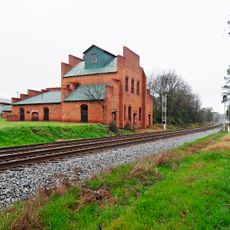
McCormick County, Administrative county in western South Carolina, United States.

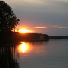
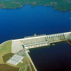
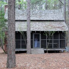
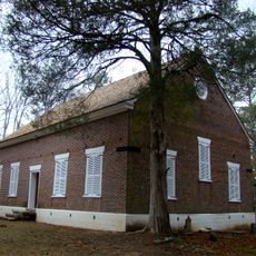
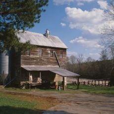
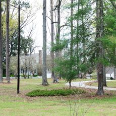
McCormick County is an administrative division in western South Carolina located along the Savannah River. It encompasses sections of Sumter National Forest with pine-covered hills and river bottomlands.

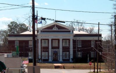
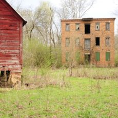
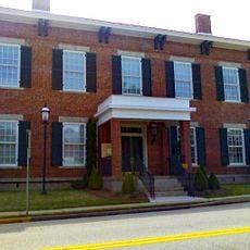
The territory was established in 1914 and named after Cyrus Hall McCormick, who donated substantial land for the county seat. This founding created a new administrative division in the region.

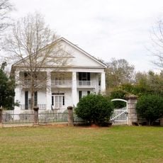
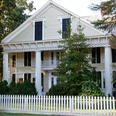
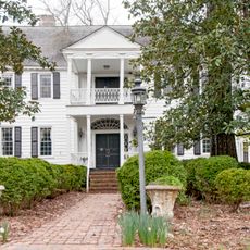
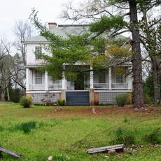
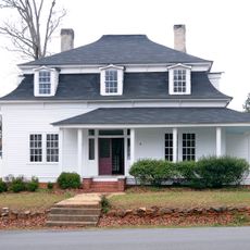
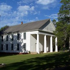
The county keeps Southern traditions alive through local festivals and gatherings where traditional dishes connected to farming heritage are shared. These events show how the community maintains its connection to rural life.

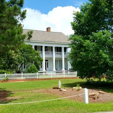
Three state parks - Hickory Knob, Baker Creek, and Hamilton Branch - are located within the county and offer various outdoor activities. Visitors can find hiking trails, fishing spots, and camping areas throughout these spaces.

With fewer than 10,000 residents, it ranks as the smallest territory of its kind in South Carolina. This modest size gives the place a close-knit community character that sets it apart from larger districts.

The community of curious travelers

AroundUs brings together thousands of curated places, local tips, and hidden gems, enriched daily by 60,000 contributors worldwide.

Start exploring
Location
Inception
1914
Capital city
McCormick
Shares border with
Greenwood County, Edgefield County, Columbia County, Lincoln County, Elbert County, Abbeville County
GPS coordinates
33.90000,-82.30000
Latest update
December 7, 2025 20:43
Around this place
Lake Strom Thurmond
United States of America

Lake Strom Thurmond

28.2 km
Elijah Clark State Park
United States of America

Elijah Clark State Park

11.3 km
Long Cane Massacre Site
United States of America

Long Cane Massacre Site

11.2 km
Richard B. Russell Dam
United States of America

Richard B. Russell Dam

30.5 km
Eden Hall
United States of America

Eden Hall

10.8 km
Guillebeau House
United States of America

Guillebeau House

14.2 km
Cedar Springs Historic District
United States of America

Cedar Springs Historic District

20.1 km
Blocker House
United States of America

Blocker House

28.3 km
Kiokee Baptist Church
United States of America

Kiokee Baptist Church

35.8 km
Anderson House
United States of America

Anderson House

32.9 km
Price's Mill
United States of America

Price's Mill

15.3 km
Cedar Grove
United States of America

Cedar Grove

30.2 km
Sylvania
United States of America

Sylvania

13.4 km
Dorn's Flour and Grist Mill
United States of America

Dorn's Flour and Grist Mill

1.5 km
Calhoun Mill
United States of America

Calhoun Mill

22 km
Joseph Jennings Dorn House
United States of America

Joseph Jennings Dorn House

1.7 km
Calhoun-Gibert House
United States of America

Calhoun-Gibert House

17.9 km
McCormick County Courthouse
United States of America

McCormick County Courthouse

1.3 km
Farmer's Bank
United States of America

Farmer's Bank

1.5 km
Otway Henderson House
United States of America

Otway Henderson House

1.8 km
Lower Long Cane Associate Reformed Presbyterian Church
United States of America

Lower Long Cane Associate Reformed Presbyterian Church

13.7 km
John Albert Gibert M.D. House
United States of America

John Albert Gibert M.D. House

11.4 km
Mount Carmel Historic District
United States of America

Mount Carmel Historic District

22.7 km
Lincolnton Historic District
United States of America

Lincolnton Historic District

20.4 km
Columbia County Courthouse
United States of America

Columbia County Courthouse

39.8 km
Lincoln County Courthouse
United States of America

Lincoln County Courthouse

20 km
Matthews House
United States of America

Matthews House

27.3 km
M.L.B. Sturkey House
United States of America

M.L.B. Sturkey House

1.4 km
Show the full map
Reviews
Share your experience

No review yet

Discussions
Start a discussion...

No discussion yet

Administrative divisions
« McCormick County - Administrative county in western South Carolina, United States » is provided by Around Us (aroundus.com). Images and texts are derived from Wikimedia project under a Creative Commons license. You are allowed to copy, distribute, and modify copies of this page, under the conditions set by the license, as long as this note is clearly visible.

Discover hidden gems everywhere you go!

From secret cafés to breathtaking viewpoints, skip the crowded tourist spots and find places that match your style. Our app makes it easy with voice search, smart filtering, route optimization, and insider tips from travelers worldwide. Download now for the complete mobile experience.

Around Us App Screenshot

A unique approach to discovering new places

Le Figaro

All the places worth exploring

France Info

A tailor-made excursion in just a few clicks

20 Minutes

Around Us
Travel Guide & Maps
Download

Send to your phone

QR Code
1

Open the camera app on your mobile.

2

Point at the QR code with your camera. A notification will appear.

3

Tap the notification to open the link.