Richard B. Russell Dam

Log in to your account

AroundUs is a community-driven map of interesting places, built by curious explorers like you. It grows with every review, story, and photo you share.
Connect to save your favorite spots, contribute locations, and create personalized routes.
Continue with Google
Continue with Apple
Continue with X
Continue with Facebook
Continue with email
By continuing, you accept our Terms and Conditions and our Privacy Policy
Create an account
Add to collection
Map
Suggest a change
Share

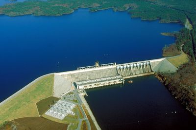
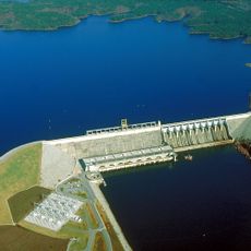
Richard B. Russell Dam, Hydroelectric power station at Savannah River border, United States.

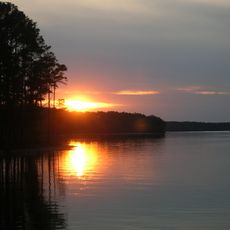
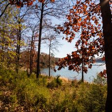
Richard B. Russell Dam is a gravity dam crossing the Savannah River on the border between South Carolina and Georgia. The structure creates two lakes used for recreation, water supply, and flood control in the region.

Planning for the project started in the 1960s as part of a comprehensive flood control program for the Savannah River. The structure was completed in the 1980s after years of construction by federal engineers.

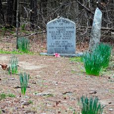
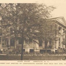
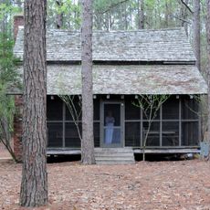
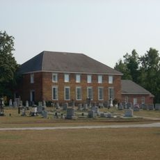
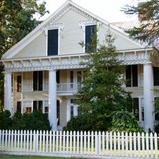
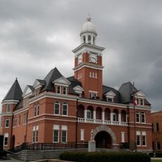
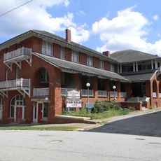
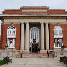
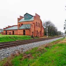
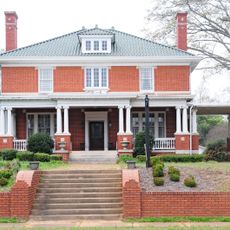
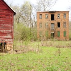
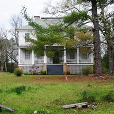
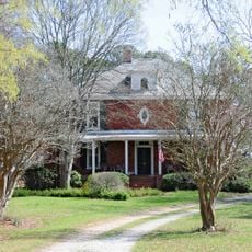
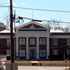
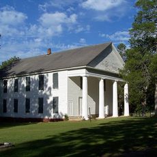
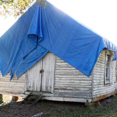
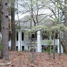
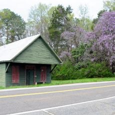
The Executive Order 11593 mandated archaeological investigations in the project area, leading to documentation of 28 building complexes and 8 engineering structures.

There are designated viewing areas and picnic grounds at the dam with parking and basic facilities. The best way to explore the surroundings is via various overlooks and walking trails in the adjacent areas.

The facility operates reversible turbines that pump water back and forth between the two lakes during low electricity demand. This system stores energy when power is cheaper and releases it when demand increases.

Location: South Carolina

Location: Elbert County

Inception: 1974

Elevation above the sea: 144.8 m

GPS coordinates: 34.02500,-82.59420

Latest update: December 10, 2025 20:07

Photos
Around this place
Richard B. Russell Lake
United States of America

Richard B. Russell Lake

8.1 km
Elijah Clark State Park
United States of America

Elijah Clark State Park

25.6 km
Long Cane Massacre Site
United States of America

Long Cane Massacre Site

23.7 km
Burt-Stark Mansion
United States of America

Burt-Stark Mansion

26.1 km
Richard B. Russell State Park
United States of America

Richard B. Russell State Park

21.4 km
Guillebeau House
United States of America

Guillebeau House

16.4 km
Abbeville Opera House
United States of America

Abbeville Opera House

26.2 km
Cedar Springs Historic District
United States of America

Cedar Springs Historic District

27.6 km
Anderson House
United States of America

Anderson House

18.2 km
Elbert County Courthouse
United States of America

Elbert County Courthouse

27 km
Abbeville Historic District
United States of America

Abbeville Historic District

26.1 km
Abbeville County Courthouse
United States of America

Abbeville County Courthouse

26.2 km
Dorn's Flour and Grist Mill
United States of America

Dorn's Flour and Grist Mill

30.1 km
Joseph Jennings Dorn House
United States of America

Joseph Jennings Dorn House

30.4 km
Calhoun Mill
United States of America

Calhoun Mill

11.1 km
Calhoun-Gibert House
United States of America

Calhoun-Gibert House

12.6 km
Harbison College President's Home
United States of America

Harbison College President's Home

27.1 km
McCormick County Courthouse
United States of America

McCormick County Courthouse

30.4 km
Farmer's Bank
United States of America

Farmer's Bank

30.4 km
Lower Long Cane Associate Reformed Presbyterian Church
United States of America

Lower Long Cane Associate Reformed Presbyterian Church

22.6 km
Cherry Grove Baptist Church Schoolhouse
United States of America

Cherry Grove Baptist Church Schoolhouse

30.2 km
John Albert Gibert M.D. House
United States of America

John Albert Gibert M.D. House

19.6 km
Mount Carmel Historic District
United States of America

Mount Carmel Historic District

8.2 km
Lincolnton Historic District
United States of America

Lincolnton Historic District

28.2 km
Lincoln County Courthouse
United States of America

Lincoln County Courthouse

27.9 km
Matthews House
United States of America

Matthews House

13.4 km
Confederate Monument (Abbeville)
United States of America

Confederate Monument (Abbeville)

26.1 km
Elberton Commercial Historic District
United States of America

Elberton Commercial Historic District

26.9 km
Show the full map
Reviews

Visited this place? Tap the stars to rate it and share your experience / photos with the community! Try now! You can cancel it anytime.

« Richard B. Russell Dam - Hydroelectric power station at Savannah River border, United States » is provided by Around Us (aroundus.com). Images and texts are derived from Wikimedia project under a Creative Commons license. You are allowed to copy, distribute, and modify copies of this page, under the conditions set by the license, as long as this note is clearly visible.

Discover hidden gems everywhere you go!

From secret cafés to breathtaking viewpoints, skip the crowded tourist spots and find places that match your style. Our app makes it easy with voice search, smart filtering, route optimization, and insider tips from travelers worldwide. Download now for the complete mobile experience.

Around Us App Screenshot

A unique approach to discovering new places

Le Figaro

All the places worth exploring

France Info

A tailor-made excursion in just a few clicks

20 Minutes