Richard B. Russell Lake, man-made lake created by the construction of Richard B. Russell Dam in South Carolina
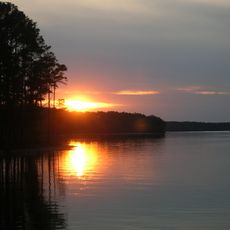
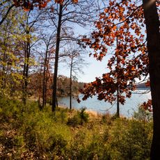
Richard B. Russell Lake is a reservoir in the northwestern corner of South Carolina, near the Georgia border. It sits among forested hills and has a deeply indented shoreline with many coves and inlets.
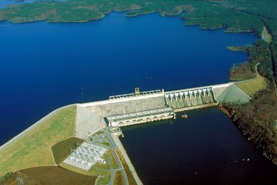
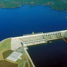
The lake was created in the 1980s when the Savannah River Electric Authority built a dam for pumped-storage hydroelectric power. It works in tandem with the nearby Thurmond Lake, with water moved between the two reservoirs to generate electricity.
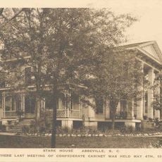
The lake is named after Richard B. Russell, a former US senator and governor of South Carolina. His name appears on signs around the area, connecting the place to a broader story of political life in the state during the mid-20th century.
Access to the shore is possible at several points, though conditions vary depending on the season and water level. It is worth checking which areas allow fishing, swimming, or boating before arriving.
Unlike most reservoirs, Russell Lake is designed to act like a large battery for the power grid. Water is released to generate electricity when demand is high, then pumped back up when demand drops, making it one of the few lakes in the region built mainly for energy storage rather than supply.
The community of curious travelers
AroundUs brings together thousands of curated places, local tips, and hidden gems, enriched daily by 60,000 contributors worldwide.