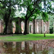
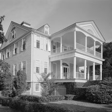
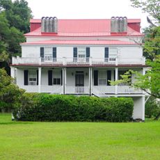
Colleton County, Administrative division in South Carolina, United States
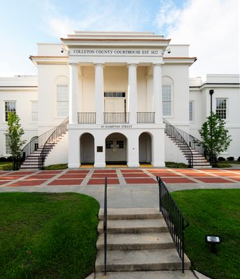
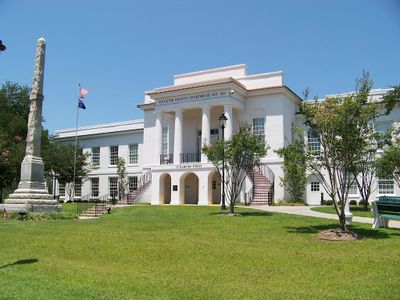
Colleton County is an administrative division in the southeastern part of South Carolina, covering a broad area governed by a five-member County Council. The seat in Walterboro serves as the center for all county operations and public services.
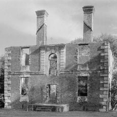
The county was established during the colonial period and developed over centuries as part of South Carolina's administrative structure. Its boundaries and functions have evolved multiple times to serve the changing needs of local communities.
The county government maintains multiple boards and commissions where residents participate in local decision-making processes, shaping community development and public services.
The county administrative office is located in Walterboro and provides services to residents during standard business hours. It is helpful to check ahead to understand which services are available and to plan your visit accordingly.
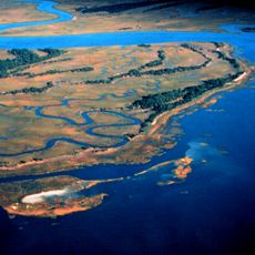
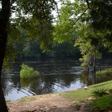
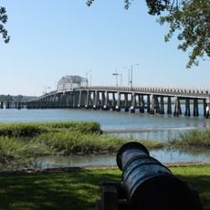
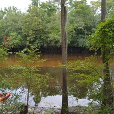
The Emergency Management Division monitors the Edisto River water levels, which reached their highest point since 1945 following recent weather events.
The community of curious travelers
AroundUs brings together thousands of curated places, local tips, and hidden gems, enriched daily by 60,000 contributors worldwide.