Enable Location

We need your location to show you interesting places around you

Discover nearby places

Find interesting locations and hidden gems around you

Precise directions

Get accurate directions and distances to places

Your location is never shared with other users. It's only used when you tap the location button.

Beaufort Historic District

Log in to your account

Start exploring — it's free

Trusted by 63,700 travelers worldwide

Continue with Google
Continue with Apple
or

We will send you a code to connect

By continuing, you accept our Terms and Conditions and our Privacy Policy

Check your inbox

We've sent a pincode in your inbox. Please enter the code below.

Discussion Reviews 1 Photos
5.9k Popularity

Beaufort Historic District, Historic district in Beaufort, South Carolina, US.

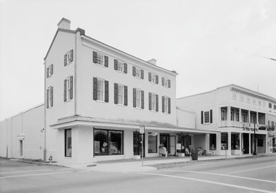
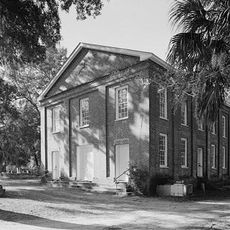
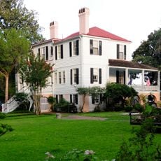
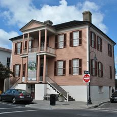
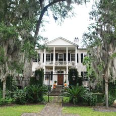
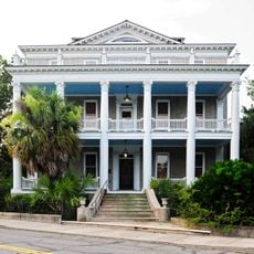
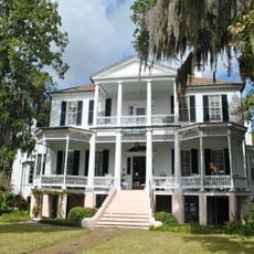
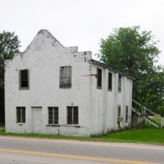
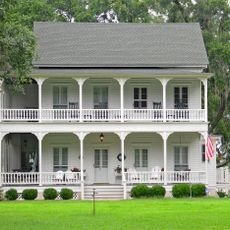
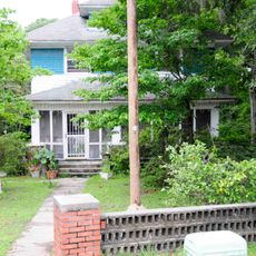
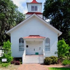
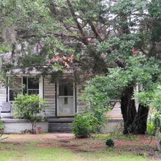
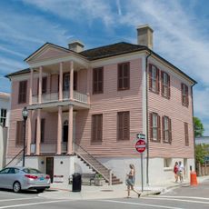
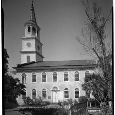
Beaufort Historic District is a 304-acre area containing Federal, Neoclassical, Greek Revival, and Victorian architecture. Streets are lined with oak trees and historic homes that define the neighborhood's character.

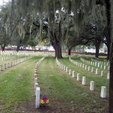
Founded in 1711, the district survived the Civil War intact because Union forces used the buildings as hospitals and military offices instead of destroying them. This unexpected preservation allowed a unique collection of historical structures to remain.

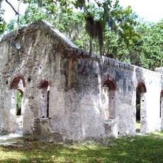
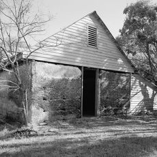
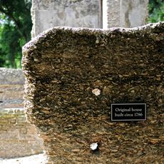
The district features structures built with tabby, an early concrete made from oyster shells, sand, lime, and ash, reflecting colonial construction methods. This building technique remains visible in many homes throughout the area today.

Walking is the best way to explore the district, as streets are designed for pedestrians and architectural details become visible on foot. The Historic District Review Board oversees all construction projects, so visitors see a consistently well-maintained neighborhood.

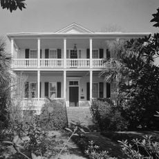
The Robert Smalls House on Prince Street was the birthplace of an enslaved person who later became the first African American member of Congress. This site connects the district to a remarkable chapter of American freedom and achievement.

The community of curious travelers

AroundUs brings together thousands of curated places, local tips, and hidden gems, enriched daily by 60,000 contributors worldwide.

Start exploring
Location
GPS coordinates
32.43556,-80.66778
Latest update
December 9, 2025 18:46
Around this place
Beaufort National Cemetery
United States of America

Beaufort National Cemetery

1.2 km
Robert Smalls House
United States of America

Robert Smalls House

61 m
Penn School Historic District
United States of America

Penn School Historic District

10 km
Reconstruction Era National Historical Park
United States of America

Reconstruction Era National Historical Park

429 m
Parris Island Museum
United States of America

Parris Island Museum

9.8 km
St. Helena Parish Chapel of Ease Ruins
United States of America

St. Helena Parish Chapel of Ease Ruins

10.9 km
Richard V. Woods Memorial Bridge
United States of America

Richard V. Woods Memorial Bridge

906 m
Marshlands
United States of America

Marshlands

338 m
The Kazoo Museum
United States of America

The Kazoo Museum

4.9 km
Frogmore Plantation Complex
United States of America

Frogmore Plantation Complex

13.2 km
John Mark Verdier House
United States of America

John Mark Verdier House

625 m
Tabby Manse
United States of America

Tabby Manse

874 m
Barnwell-Gough House
United States of America

Barnwell-Gough House

470 m
The Anchorage
United States of America

The Anchorage

724 m
John A. Cuthbert House
United States of America

John A. Cuthbert House

796 m
Knights of Wise Men Lodge
United States of America

Knights of Wise Men Lodge

10.6 km
Sams Plantation Complex Tabby Ruins
United States of America

Sams Plantation Complex Tabby Ruins

6.9 km
Mary Jenkins Community Praise House
United States of America

Mary Jenkins Community Praise House

10.1 km
William Barnwell House
United States of America

William Barnwell House

434 m
Edgar Fripp Mausoleum, St. Helena Island Parish Church
United States of America

Edgar Fripp Mausoleum, St. Helena Island Parish Church

10.9 km
McLeod Farmstead
United States of America

McLeod Farmstead

13.8 km
Dr. York Bailey House
United States of America

Dr. York Bailey House

9.7 km
Eddings Point Community Praise House
United States of America

Eddings Point Community Praise House

11.7 km
Union Church of Port Royal
United States of America

Union Church of Port Royal

7 km
The Green
United States of America

The Green

9.6 km
Emanuel Alston House
United States of America

Emanuel Alston House

10.9 km
Verdier House
United States of America

Verdier House

600 m
St. Helena Episcopal Church (Beaufort)
United States of America

St. Helena Episcopal Church (Beaufort)

669 m
Show the full map
Reviews
Share your experience

No review yet

Discussions
Start a discussion...

No discussion yet

« Beaufort Historic District - Historic district in Beaufort, South Carolina, US » is provided by Around Us (aroundus.com). Images and texts are derived from Wikimedia project under a Creative Commons license. You are allowed to copy, distribute, and modify copies of this page, under the conditions set by the license, as long as this note is clearly visible.

Discover hidden gems everywhere you go!

From secret cafés to breathtaking viewpoints, skip the crowded tourist spots and find places that match your style. Our app makes it easy with voice search, smart filtering, route optimization, and insider tips from travelers worldwide. Download now for the complete mobile experience.

Around Us App Screenshot

A unique approach to discovering new places

Le Figaro

All the places worth exploring

France Info

A tailor-made excursion in just a few clicks

20 Minutes

Around Us
Travel Guide & Maps
Download

Send to your phone

QR Code
1

Open the camera app on your mobile.

2

Point at the QR code with your camera. A notification will appear.

3

Tap the notification to open the link.