Enable Location

We need your location to show you interesting places around you

Discover nearby places

Find interesting locations and hidden gems around you

Precise directions

Get accurate directions and distances to places

Your location is never shared with other users. It's only used when you tap the location button.

ACE Basin

Log in to your account

Start exploring — it's free

Trusted by 61,817 travelers worldwide

Continue with Google
Continue with Apple
or

We will send you a code to connect

By continuing, you accept our Terms and Conditions and our Privacy Policy

Check your inbox

We've sent a pincode in your inbox. Please enter the code below.

ACE Basin

ACE Basin, Protected estuary in South Carolina, United States

Description

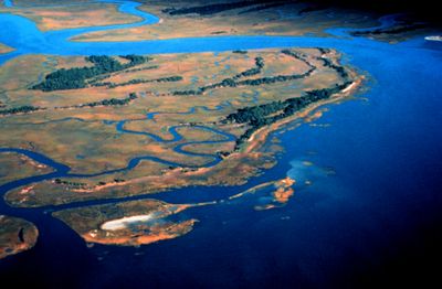
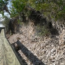
The ACE Basin is a protected estuary on the South Carolina coast where three major rivers meet and create a patchwork of marshes, wetlands, and forests. The area encompasses multiple habitats connected by waterways, forming a complex ecosystem that supports diverse wildlife.

History

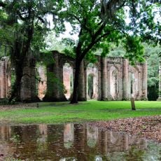
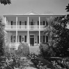
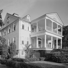
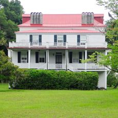
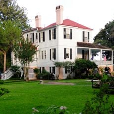
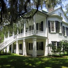
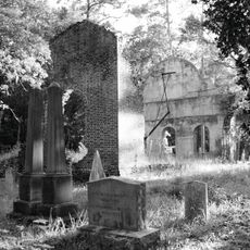
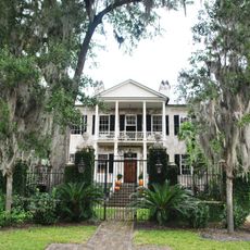
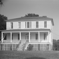
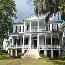
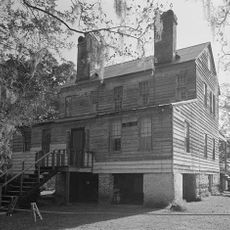
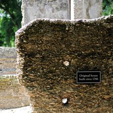
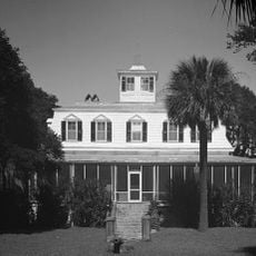
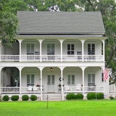
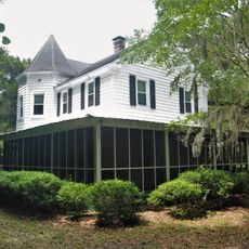
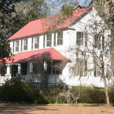
The area was originally plantation farmland but gradually became protected after the Civil War to preserve its natural character. This transformation from agricultural use to wildlife reserve reshaped the region and allowed wild ecosystems to recover.

Culture

The name comes from the three rivers that meet here, shaping local identity and connection to the water. People use these lands for fishing and wildlife watching, showing how deeply the community depends on and values this natural environment.

Practical

The area can be explored through various boat landings scattered along the rivers and waterways throughout the reserve. Visitors can access the site by water or on foot, with multiple entry points depending on which section they want to visit.

Did you know?

The area serves as a resting place for migrating sea turtles and birds passing through on long journeys, finding food and shelter here. This role as a stopover point gives the reserve importance far beyond its borders.

Location
Elevation above the sea
1 m
GPS coordinates
32.65390,-80.54500
Latest update
December 7, 2025 20:48

AroundUs brings together thousands of curated places, local tips, and hidden gems, enriched daily by 60,000 contributors worldwide. Discover all places nearby (South Carolina).

Around this place
Old Sheldon Church Ruins
United States of America

Old Sheldon Church Ruins

22.4 km
Auldbrass Plantation
United States of America

Auldbrass Plantation

25.3 km
Robert Smalls House
United States of America

Robert Smalls House

26.9 km
Beaufort Historic District
United States of America

Beaufort Historic District

26.9 km
Reconstruction Era National Historical Park
United States of America

Reconstruction Era National Historical Park

27.3 km
William Seabrook House
United States of America

William Seabrook House

25.4 km
Brick House Ruins
United States of America

Brick House Ruins

21.4 km
Coffin Point Plantation
United States of America

Coffin Point Plantation

25.5 km
Marshlands
United States of America

Marshlands

27.1 km
Grove Plantation
United States of America

Grove Plantation

14.2 km
Pon Pon Chapel
United States of America

Pon Pon Chapel

17.9 km
Barnwell-Gough House
United States of America

Barnwell-Gough House

27 km
The Anchorage
United States of America

The Anchorage

27.5 km
Prospect Hill
United States of America

Prospect Hill

17.1 km
Edisto Island Presbyterian Church
United States of America

Edisto Island Presbyterian Church

24.7 km
John A. Cuthbert House
United States of America

John A. Cuthbert House

27.5 km
Summit Plantation House
United States of America

Summit Plantation House

24.7 km
Sams Plantation Complex Tabby Ruins
United States of America

Sams Plantation Complex Tabby Ruins

25.3 km
Sunnyside
United States of America

Sunnyside

25.2 km
Edisto Island Baptist Church
United States of America

Edisto Island Baptist Church

26.1 km
Mary Jenkins Community Praise House
United States of America

Mary Jenkins Community Praise House

25 km
William Barnwell House
United States of America

William Barnwell House

27.1 km
McLeod Farmstead
United States of America

McLeod Farmstead

25 km
Spanish Mount Point
United States of America

Spanish Mount Point

27.2 km
Coffin Point Plantation Caretaker's House
United States of America

Coffin Point Plantation Caretaker's House

25.2 km
Trinity Episcopal Church
United States of America

Trinity Episcopal Church

26.3 km
Eddings Point Community Praise House
United States of America

Eddings Point Community Praise House

23.4 km
Wilkinson-Boineau House
United States of America

Wilkinson-Boineau House

19.7 km
Show the full map
« ACE Basin - Protected estuary in South Carolina, United States » is provided by Around Us (aroundus.com). Images and texts are derived from Wikimedia project under a Creative Commons license. You are allowed to copy, distribute, and modify copies of this page, under the conditions set by the license, as long as this note is clearly visible.

Discover hidden gems everywhere you go!

From secret cafés to breathtaking viewpoints, skip the crowded tourist spots and find places that match your style. Our app makes it easy with voice search, smart filtering, route optimization, and insider tips from travelers worldwide. Download now for the complete mobile experience.

Around Us App Screenshot

A unique approach to discovering new places

Le Figaro

All the places worth exploring

France Info

A tailor-made excursion in just a few clicks

20 Minutes

Around Us
Travel Guide & Maps
Download

Send to your phone

QR Code
1

Open the camera app on your mobile.

2

Point at the QR code with your camera. A notification will appear.

3

Tap the notification to open the link.