Enable Location

We need your location to show you interesting places around you

Discover nearby places

Find interesting locations and hidden gems around you

Precise directions

Get accurate directions and distances to places

Your location is never shared with other users. It's only used when you tap the location button.

Sumter County

Log in to your account

Start exploring — it's free

Trusted by 61,801 travelers worldwide

Continue with Google
Continue with Apple
or

We will send you a code to connect

By continuing, you accept our Terms and Conditions and our Privacy Policy

Check your inbox

We've sent a pincode in your inbox. Please enter the code below.

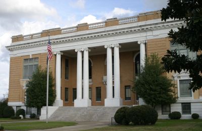
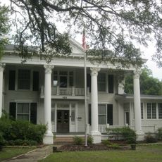
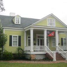
Sumter County, Administrative division in central Georgia, United States

Description

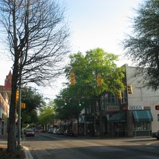
Sumter County is an administrative division in central South Carolina that encompasses several hundred square miles with Americus as its county seat. The area features mixed landscapes of farmland and small urban centers connected by regional transportation routes.

History

The county was established in 1831 following the removal of the Creek Nation, and was named to honor General Thomas Sumter, a Revolutionary War figure. This founding reflects the territorial changes that reshaped the region during the early 19th century.

Culture

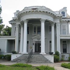
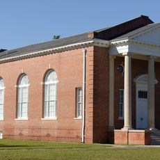
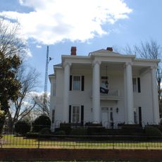
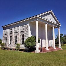
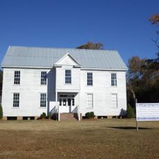
The Rylander Theatre in Americus and the Windsor Hotel reflect the area's cultural identity through their architectural presence and their role as community gathering spaces.

Practical

U.S. Route 19 and U.S. Route 280 are the main transportation corridors that connect the county to surrounding regions. Visitors should plan to drive between attractions, as distances between points of interest can be significant and public transit is limited.

Did you know?

The Andersonville National Historic Site preserves the location of a Civil War prison camp that now functions as a memorial to all American prisoners of war. This location offers visitors insight into a significant historical chapter that often receives less attention than other Civil War sites.

Location
Inception
1800
Capital city
Sumter
Shares border with
Lee County, Clarendon County, Florence County, Calhoun County, Richland County, Kershaw County
GPS coordinates
33.92000,-80.38000
Latest update
December 7, 2025 10:06

AroundUs brings together thousands of curated places, local tips, and hidden gems, enriched daily by 60,000 contributors worldwide. Discover all places nearby (South Carolina).

Around this place
Millford Plantation
United States of America

Millford Plantation

24 km
Borough House Plantation
United States of America

Borough House Plantation

15.1 km
Poinsett State Park
United States of America

Poinsett State Park

19.4 km
Salem Black River Presbyterian Church
United States of America

Salem Black River Presbyterian Church

20.3 km
Woods Bay State Park
United States of America

Woods Bay State Park

36 km
Rip Raps Plantation
United States of America

Rip Raps Plantation

21.4 km
Temple Sinai
United States of America

Temple Sinai

3.1 km
Boykin Mill Complex
United States of America

Boykin Mill Complex

29.1 km
St. Philip's Episcopal Church
United States of America

St. Philip's Episcopal Church

20.9 km
Stateburg Historic District
United States of America

Stateburg Historic District

13.6 km
Davis House
United States of America

Davis House

33 km
Sumter County Courthouse
United States of America

Sumter County Courthouse

3.6 km
Lincoln High School
United States of America

Lincoln High School

3.1 km
Heriot-Moise House
United States of America

Heriot-Moise House

8 km
O'Donnell House
United States of America

O'Donnell House

3.8 km
Carnegie Public Library
United States of America

Carnegie Public Library

3.1 km
High Hills of Santee Baptist Church
United States of America

High Hills of Santee Baptist Church

16 km
Sumter Town Hall-Opera House
United States of America

Sumter Town Hall-Opera House

3.5 km
Henry Lee Scarborough House
United States of America

Henry Lee Scarborough House

3.8 km
Elizabeth White House
United States of America

Elizabeth White House

3.7 km
Smith-Cannon House
United States of America

Smith-Cannon House

46.9 km
Mt. Zion Presbyterian Church
United States of America

Mt. Zion Presbyterian Church

24.5 km
Sumter Historic District
United States of America

Sumter Historic District

3.5 km
J. Clinton Brogdon House
United States of America

J. Clinton Brogdon House

16.3 km
Charles T. Mason House
United States of America

Charles T. Mason House

2.1 km
Lynchburg Presbyterian Church
United States of America

Lynchburg Presbyterian Church

32.6 km
Goodwill Parochial School
United States of America

Goodwill Parochial School

21.3 km
Mayesville Historic District
United States of America

Mayesville Historic District

17.5 km
Show the full map
Administrative divisions
« Sumter County - Administrative division in central Georgia, United States » is provided by Around Us (aroundus.com). Images and texts are derived from Wikimedia project under a Creative Commons license. You are allowed to copy, distribute, and modify copies of this page, under the conditions set by the license, as long as this note is clearly visible.

Discover hidden gems everywhere you go!

From secret cafés to breathtaking viewpoints, skip the crowded tourist spots and find places that match your style. Our app makes it easy with voice search, smart filtering, route optimization, and insider tips from travelers worldwide. Download now for the complete mobile experience.

Around Us App Screenshot

A unique approach to discovering new places

Le Figaro

All the places worth exploring

France Info

A tailor-made excursion in just a few clicks

20 Minutes

Around Us
Travel Guide & Maps
Download

Send to your phone

QR Code
1

Open the camera app on your mobile.

2

Point at the QR code with your camera. A notification will appear.

3

Tap the notification to open the link.