Enable Location

We need your location to show you interesting places around you

Discover nearby places

Find interesting locations and hidden gems around you

Precise directions

Get accurate directions and distances to places

Your location is never shared with other users. It's only used when you tap the location button.

Log in to your account

Join the adventure

Create your free account and start exploring (like 60k+ others)

We will send you a code to connect

or
Continue with Google
Continue with Apple
By continuing, you accept our Terms and Conditions and our Privacy Policy

Check your inbox

We've sent a pincode in your inbox. Please enter the code below.

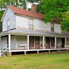
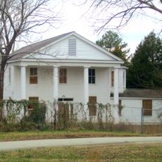
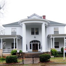
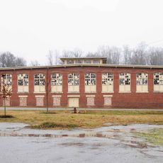
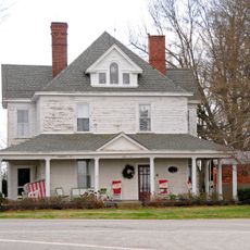
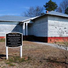
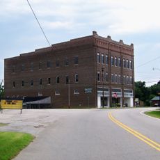
Cherokee County, Administrative county in Piedmont region, South Carolina, United States

Description

Cherokee County is a county in the Piedmont region of South Carolina, located in the northwestern part of the state. Several rivers flow through the area, and the county contains the town of Gaffney, which serves as its administrative center.

History

The area was established in 1897 from portions of York, Union, and Spartanburg counties, named after the Cherokee people who previously inhabited the region. A major Revolutionary War battle took place in the northwestern section during the late 1700s.

Culture

The Battle of Cowpens, a decisive engagement of the American Revolutionary War, occurred in northwestern Cherokee County on January 17, 1781.

Practical

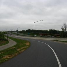
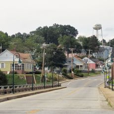
Gaffney is the main town and contains shops, restaurants, and services for visitors and residents. The area is well connected by local roads that link the various communities throughout the county.

Did you know?

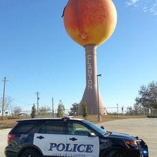
The area ranks among South Carolina's top peach producers and contributes significantly to the state's agricultural output. The local soil and climate make it well-suited for growing this crop.

Location
Inception
1897
Capital city
Gaffney
Shares border with
York County, Spartanburg County, Union County, Cleveland County, Rutherford County
GPS coordinates
35.05000,-81.62000
Latest update
December 7, 2025 10:06

AroundUs brings together thousands of curated places, local tips, and hidden gems, enriched daily by 60,000 contributors worldwide. Discover all places nearby (South Carolina).

Around this place
Peachoid
United States of America

Peachoid

7.8 km
U.S. Route 29
United States of America

U.S. Route 29

20.3 km
Croft State Park
United States of America

Croft State Park

28 km
Allison Plantation
United States of America

Allison Plantation

22.9 km
Pacolet Mills Historic District
United States of America

Pacolet Mills Historic District

18.3 km
Winnie Davis Hall
United States of America

Winnie Davis Hall

2.8 km
Limestone Springs Historic District
United States of America

Limestone Springs Historic District

2.6 km
Means House
United States of America

Means House

28.2 km
Zeno Hicks House
United States of America

Zeno Hicks House

24.3 km
Bivings-Converse House
United States of America

Bivings-Converse House

23.1 km
Evans-Russell House
United States of America

Evans-Russell House

28.5 km
Jefferies House
United States of America

Jefferies House

3.8 km
Converse Heights Historic District
United States of America

Converse Heights Historic District

28.5 km
Carnegie Free Library
United States of America

Carnegie Free Library

3.7 km
Pacolet Mill Office
United States of America

Pacolet Mill Office

18.2 km
E. B. Hamrick Hall
United States of America

E. B. Hamrick Hall

22.6 km
McWhirter House
United States of America

McWhirter House

24.8 km
Pacolet Mills Cloth Room and Warehouse
United States of America

Pacolet Mills Cloth Room and Warehouse

18.3 km
Magness-Humphries House
United States of America

Magness-Humphries House

10.7 km
Settlemyer House
United States of America

Settlemyer House

3.9 km
Marysville School
United States of America

Marysville School

19.3 km
Gaffney Residential Historic District
United States of America

Gaffney Residential Historic District

3.2 km
Hill Complex Historic District
United States of America

Hill Complex Historic District

28 km
Gaffney Commercial Historic District
United States of America

Gaffney Commercial Historic District

3.5 km
Sharon Downtown Historic District
United States of America

Sharon Downtown Historic District

27.6 km
Cowpens National Battlefield Visitor Center
United States of America

Cowpens National Battlefield Visitor Center

20.5 km
Wilson Hall, Converse University
United States of America

Wilson Hall, Converse University

29.1 km
Kings Mountain National Military Park Visitor Center
United States of America

Kings Mountain National Military Park Visitor Center

24.3 km
Show the full map
Administrative divisions
« Cherokee County - Administrative county in Piedmont region, South Carolina, United States » is provided by Around Us (aroundus.com). Images and texts are derived from Wikimedia project under a Creative Commons license. You are allowed to copy, distribute, and modify copies of this page, under the conditions set by the license, as long as this note is clearly visible.

Discover hidden gems everywhere you go!

From secret cafés to breathtaking viewpoints, skip the crowded tourist spots and find places that match your style. Our app makes it easy with voice search, smart filtering, route optimization, and insider tips from travelers worldwide. Download now for the complete mobile experience.

Around Us App Screenshot

A unique approach to discovering new places

Le Figaro

All the places worth exploring

France Info

A tailor-made excursion in just a few clicks

20 Minutes

Around Us
Travel Guide & Maps
Download

Send to your phone

QR Code
1

Open the camera app on your mobile.

2

Point at the QR code with your camera. A notification will appear.

3

Tap the notification to open the link.