Chest opened
+${chestReward.xp} XP
Explorer
NOUVEAU ×${chestReward.collectible.quantity}
tapez pour fermer

See the monuments around you in AR Open chests in the app

Around Us is built for your phone — point your camera at the streets and discover the monuments and places around you in augmented reality. Around Us is built for your phone — chests unlock when you walk, explore and capture nearby places.

•

Enable Location

We need your location to show you interesting places around you

Discover nearby places

Find interesting locations and hidden gems around you

Precise directions

Get accurate directions and distances to places

Your location is never shared with other users. It's only used when you tap the location button.

Croft State Park

Log in to your account

Start exploring — it's free

Trusted by 89,613 travelers worldwide

Continue with Google
Continue with Apple
or

We will send you a code to connect

By continuing, you accept our Terms and Conditions and our Privacy Policy

Check your inbox

We've sent a pincode in your inbox. Please enter the code below.

Discussion Reviews 1 Photos
7.1k Popularity

Croft State Park, Natural recreation area in Spartanburg, United States.

Audio guide · About one minute
Preparing your audio guide… The audio guide could not be loaded, please retry.Sign in to listen to the audio guide

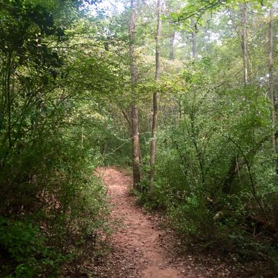
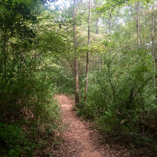
Croft State Park is a protected nature reserve spanning 7,054 acres of woodland and two lakes, including the 67-acre Lake Craig used for water recreation. The land features a mix of forest, water, and trails that connect throughout the entire property.

The site served as a military training ground during World War II before later becoming a state park. This transition preserved various structures and remains from different time periods that still stand today.

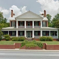
The park preserves traces of different eras at sites like old trestle bridges and a former plantation house that visitors encounter along the trails. These historical locations sit within the natural landscape and tell stories of past communities that lived in this region.

The park offers 50 camping sites with fire rings and picnic tables near modern restroom facilities for both tent and RV campers. Visitors with horses can access 32 miles (51 kilometers) of riding trails and an equestrian facility with a competition ring.

The park hosts regular equestrian events and competitions at its facility, making it a special destination for riders in the region. These events draw both local participants and outside spectators who come to watch the competitions.

The community of curious travelers

AroundUs brings together thousands of curated places, local tips, and hidden gems, enriched daily by 60,000 contributors worldwide.
Start exploring
Location
GPS coordinates
34.87855,-81.83969
Latest update
September 17, 2026 10:26
Around this place
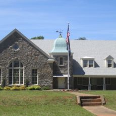
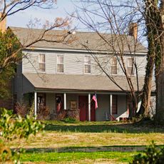
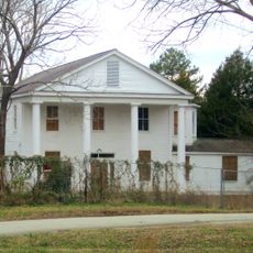
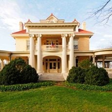
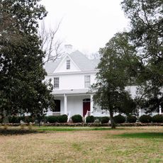
Foster's Tavern
United States of America

Foster's Tavern

4 mi
Pacolet Mills Historic District
United States of America

Pacolet Mills Historic District

6.2 mi
Upper Shoals Preserve at Glendale
United States of America

Upper Shoals Preserve at Glendale

4.5 mi
American Legion Building
United States of America

American Legion Building

5.7 mi
Smith's Tavern
United States of America

Smith's Tavern

6.2 mi
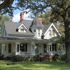
Bivings-Converse House
United States of America

Bivings-Converse House

4.4 mi
Walter Scott Montgomery House
United States of America

Walter Scott Montgomery House

6.4 mi
Camp Hill, Glenn Springs, South Carolina
United States of America

Camp Hill, Glenn Springs, South Carolina

6.3 mi
Evans-Russell House
United States of America

Evans-Russell House

6.5 mi
Converse Heights Historic District
United States of America

Converse Heights Historic District

6.4 mi
Pacolet Mills Cloth Room and Warehouse
United States of America

Pacolet Mills Cloth Room and Warehouse

6.2 mi
Golightly-Dean House
United States of America

Golightly-Dean House

2.4 mi
Glenn Springs Historic District
United States of America

Glenn Springs Historic District

4.2 mi
William Dixon Fowler House
United States of America

William Dixon Fowler House

4.6 mi
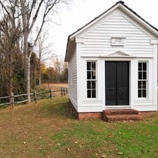
Marysville School
United States of America

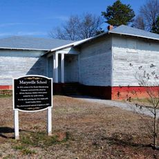
Marysville School

5.4 mi
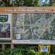
Edwin M Griffin Nature Preserve
United States of America

Edwin M Griffin Nature Preserve

5.8 mi
United States of America

Pacolet Mills mural

6.3 mi
United States of America

Harmony

6.5 mi
United States of America

Ascension

5.9 mi
United States of America

Magnified

6.6 mi
United States of America

The Wall of Possibilities

6.3 mi
United States of America

Southside Mural

6.4 mi
United States of America

Scenic viewpoint

5.6 mi
United States of America

Pacolet Water Falls

6.1 mi
United States of America

Buffalo Creek Falls

2.6 mi
United States of America

Waterfall

4.3 mi
United States of America

Wade's mural

5.3 mi
United States of America

Call It! mural

6.5 mi
Show the full map
Reviews
Share your experience

No review yet

Discussions
Start a discussion...

No discussion yet

« Croft State Park - Natural recreation area in Spartanburg, United States » is provided by Around Us (aroundus.com). Images and texts are derived from Wikimedia project under a Creative Commons license. You are allowed to copy, distribute, and modify copies of this page, under the conditions set by the license, as long as this note is clearly visible.

Discover hidden gems everywhere you go!

From secret cafés to breathtaking viewpoints, skip the crowded tourist spots and find places that match your style. Our app makes it easy with voice search, smart filtering, route optimization, and insider tips from travelers worldwide. Download now for the complete mobile experience.

Around Us App Screenshot
❝

A unique approach to discovering new places❞

— Le Figaro

❝

All the places worth exploring❞

— France Info

❝

A tailor-made excursion in just a few clicks❞

— 20 Minutes

Around Us
Travel Guide & Maps
Download

Send to your phone

QR Code
1

Open the camera app on your mobile.

2

Point at the QR code with your camera. A notification will appear.

3

Tap the notification to open the link.