·

Enable Location

We need your location to show you interesting places around you

Discover nearby places

Find interesting locations and hidden gems around you

Precise directions

Get accurate directions and distances to places

Your location is never shared with other users. It's only used when you tap the location button.

Limestone Springs Historic District

Log in to your account

Start exploring — it's free

Trusted by 62,754 travelers worldwide

Continue with Google
Continue with Apple
or

We will send you a code to connect

By continuing, you accept our Terms and Conditions and our Privacy Policy

Check your inbox

We've sent a pincode in your inbox. Please enter the code below.

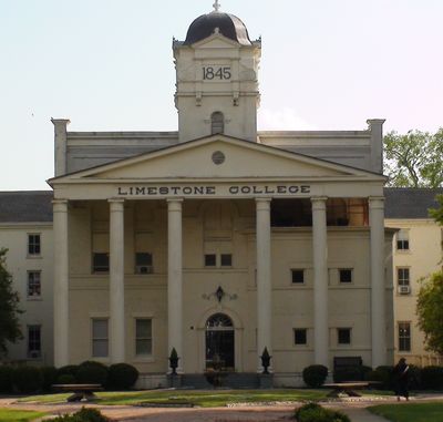
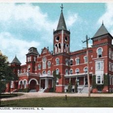
Limestone Springs Historic District, historic district in South Carolina, United States

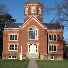
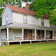
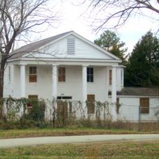
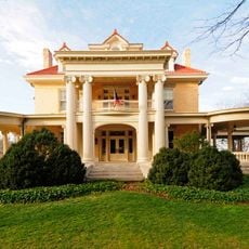
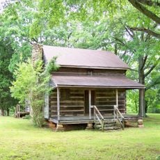
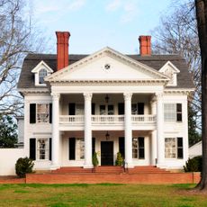
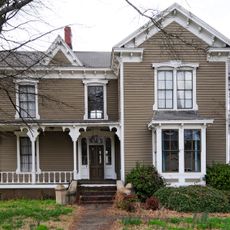
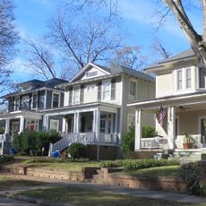
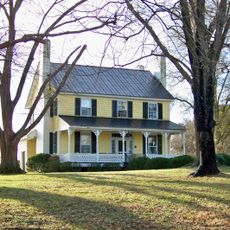
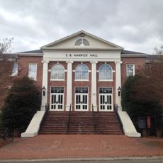
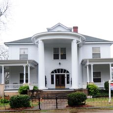
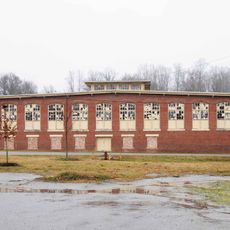
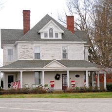
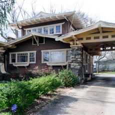
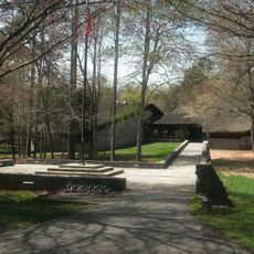
The Limestone Springs Historic District is a small area in Gaffney, South Carolina, consisting of nine main buildings constructed between the late 1830s and 1941. The layout centers on a central lawn with a fountain, with structures using limestone as the primary building material and arranged to preserve the original campus layout.

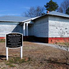
The area was established as the site of a school that opened in 1845 with 67 students and became the first female education institution in South Carolina. The campus grew over nearly 180 years, began accepting male students in the early 1900s, and became a university in 2020 before closing in 2025.

The name "Limestone Springs" comes from the natural springs and limestone quarrying that shaped the community. The buildings display a mix of Gothic Revival and Neo-Classical styles that reflect European traditions and emphasize the intellectual mission of the institution that once occupied this space.

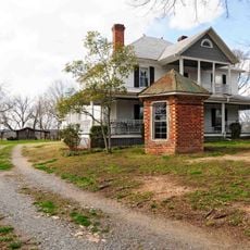
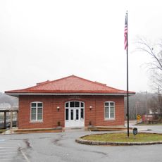
Most buildings in this area are privately owned today and not open for regular public tours. Visitors should respect the owners' privacy and view the structures mainly from outside while walking the public grounds.

Starting in 1984, students and locals held an annual Lighting of the Luminaries tradition at Christmas, placing candles in paper bags along streets and grounds. This created a glowing chain of lights that transformed the campus into an evening spectacle.

The community of curious travelers

AroundUs brings together thousands of curated places, local tips, and hidden gems, enriched daily by 60,000 contributors worldwide.

Start exploring
Location
GPS coordinates
35.05390,-81.64810
Latest update
February 9, 2026 11:06
Around this place
Peachoid
United States of America

Peachoid

5.7 km
U.S. Route 29
United States of America

U.S. Route 29

22.1 km
Croft State Park
United States of America

Croft State Park

26.6 km
Allison Plantation
United States of America

Allison Plantation

25.5 km
Pacolet Mills Historic District
United States of America

Pacolet Mills Historic District

17.3 km
Winnie Davis Hall
United States of America

Winnie Davis Hall

327 m
Masonic Temple Building
United States of America

Masonic Temple Building

27.3 km
Zeno Hicks House
United States of America

Zeno Hicks House

21.8 km
Bivings-Converse House
United States of America

Bivings-Converse House

21.2 km
Walter Scott Montgomery House
United States of America

Walter Scott Montgomery House

27.2 km
Irvin-Hamrick Log House
United States of America

Irvin-Hamrick Log House

24.9 km
Evans-Russell House
United States of America

Evans-Russell House

26.3 km
Jefferies House
United States of America

Jefferies House

2 km
Converse Heights Historic District
United States of America

Converse Heights Historic District

26.4 km
Carnegie Free Library
United States of America

Carnegie Free Library

2.2 km
Joseph Suttle House
United States of America

Joseph Suttle House

24.2 km
Pacolet Mill Office
United States of America

Pacolet Mill Office

17.1 km
E. B. Hamrick Hall
United States of America

E. B. Hamrick Hall

21.8 km
McWhirter House
United States of America

McWhirter House

24.8 km
Pacolet Mills Cloth Room and Warehouse
United States of America

Pacolet Mills Cloth Room and Warehouse

17.3 km
Magness-Humphries House
United States of America

Magness-Humphries House

9.4 km
Settlemyer House
United States of America

Settlemyer House

2.9 km
Marysville School
United States of America

Marysville School

18.1 km
Gaffney Residential Historic District
United States of America

Gaffney Residential Historic District

1.4 km
Gaffney Commercial Historic District
United States of America

Gaffney Commercial Historic District

2 km
Cowpens National Battlefield Visitor Center
United States of America

Cowpens National Battlefield Visitor Center

18 km
Wilson Hall, Converse University
United States of America

Wilson Hall, Converse University

26.9 km
Kings Mountain National Military Park Visitor Center
United States of America

Kings Mountain National Military Park Visitor Center

26.5 km
Show the full map
« Limestone Springs Historic District - historic district in South Carolina, United States » is provided by Around Us (aroundus.com). Images and texts are derived from Wikimedia project under a Creative Commons license. You are allowed to copy, distribute, and modify copies of this page, under the conditions set by the license, as long as this note is clearly visible.

Discover hidden gems everywhere you go!

From secret cafés to breathtaking viewpoints, skip the crowded tourist spots and find places that match your style. Our app makes it easy with voice search, smart filtering, route optimization, and insider tips from travelers worldwide. Download now for the complete mobile experience.

Around Us App Screenshot

A unique approach to discovering new places

Le Figaro

All the places worth exploring

France Info

A tailor-made excursion in just a few clicks

20 Minutes

Around Us
Travel Guide & Maps
Download

Send to your phone

QR Code
1

Open the camera app on your mobile.

2

Point at the QR code with your camera. A notification will appear.

3

Tap the notification to open the link.