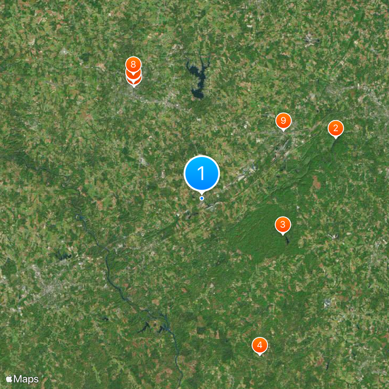
U.S. Route 29, Federal highway from Pensacola, Florida to Ellicott City, Maryland, United States.
U.S. Route 29 is a federal highway running through eight states, connecting the Florida Panhandle to the Washington-Baltimore region. The road passes through diverse landscapes and links major urban centers from south to north.
The road received its official designation in 1926 as part of the emerging national highway system. It replaced several earlier routes that had served the same corridors.
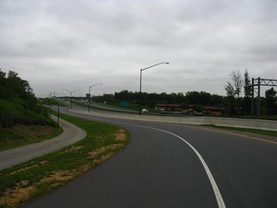
The Virginia section carries the name Seminole Trail, honoring the historical connection to Native Americans whose lands in Florida were linked by this pathway.
The route is well-maintained with four or more lanes throughout Virginia and bypass roads around major cities. Travelers can expect modern road conditions and clear signage along the entire corridor.
General Andrew Jackson traveled on sections of this route during military operations in 1818, decades before the modern highway was built. His expedition followed paths that would later become the basis for this north-south corridor.
Location: Florida
Location: Alabama
Location: Georgia
Location: South Carolina
Location: North Carolina
Location: Virginia
Location: Washington, D.C.
Location: Maryland
Inception: 1926
GPS coordinates: 35.16822,-81.45032
Latest update: December 7, 2025 09:26
Crowders Mountain State Park
17.3 km
Kings Mountain State Park
10.4 km
Allison Plantation
19.7 km
Webbley
15.5 km
Cleveland County Courthouse
15.9 km
Historic Campbell Building
16.1 km
James Heyward Hull House
16.8 km
King Street Overhead Bridge
12.6 km
Banker's House
16.3 km
West End Historic District
12 km
Kings Mountain Historical Museum
12.6 km
Masonic Temple Building
15 km
Irvin-Hamrick Log House
20 km
Joshua Beam House
20.1 km
George Sperling House and Outbuildings
17.6 km
Central School Historic District
12.8 km
Central Shelby Historic District
15.8 km
Joseph Suttle House
16.4 km
Southern Railway Company Overhead Bridge
12.6 km
Dr. Victor McBrayer House
16.3 km
Jacob S. Mauney Memorial Library and Teacher's Home
12.7 km
West Warren Street Historic District
16.1 km
Settlemyer House
20.1 km
Margrace Mill Village Historic District
10.2 km
Bessemer City Downtown Historic District
19.9 km
East Marion-Belvedere Park Historic District
16.1 km
Cleveland County Training School
16.4 km
Kings Mountain National Military Park Visitor Center
7.3 kmVisited this place? Tap the stars to rate it and share your experience / photos with the community! Try now! You can cancel it anytime.
Discover hidden gems everywhere you go!
From secret cafés to breathtaking viewpoints, skip the crowded tourist spots and find places that match your style. Our app makes it easy with voice search, smart filtering, route optimization, and insider tips from travelers worldwide. Download now for the complete mobile experience.
A unique approach to discovering new places❞
— Le Figaro
All the places worth exploring❞
— France Info
A tailor-made excursion in just a few clicks❞
— 20 Minutes