Clarendon County

Log in to your account

AroundUs is a community-driven map of interesting places, built by curious explorers like you. It grows with every review, story, and photo you share.
Connect to save your favorite spots, contribute locations, and create personalized routes.
Continue with Google
Continue with Apple
Continue with X
Continue with Facebook
Continue with email
By continuing, you accept our Terms and Conditions and our Privacy Policy
Create an account
Add to collection
Map
Suggest a change
Share

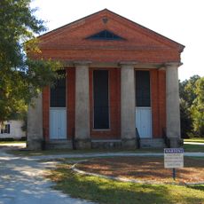
Clarendon County, Administrative division in South Carolina, US.

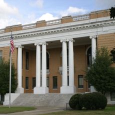
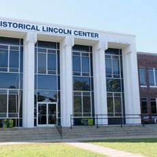
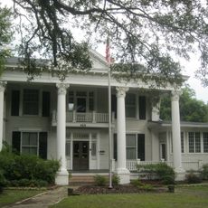
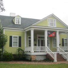
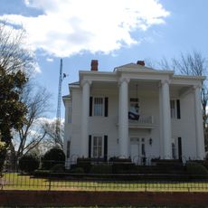
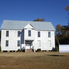
Clarendon County is an administrative division in central South Carolina situated between Interstate 95 and Lake Marion, combining farmland, small towns, and natural landscapes. Manning serves as the administrative hub where the county government operates.

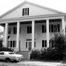
The county was established in 1855 and became known for the Briggs v. Elliott case, a pivotal legal challenge that advanced school desegregation efforts. This lawsuit had profound effects on education policy across the nation.

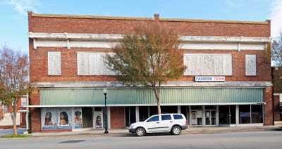
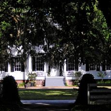
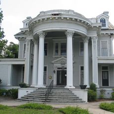
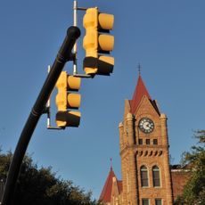
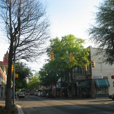
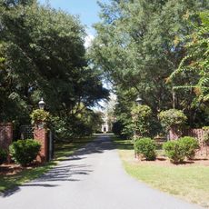
Rural traditions shape life here through seasonal festivals and gatherings along Manning's Main Street, where residents regularly meet and celebrate together. These events form the backbone of community connection in the smaller towns throughout the area.

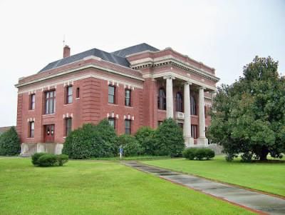
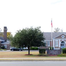
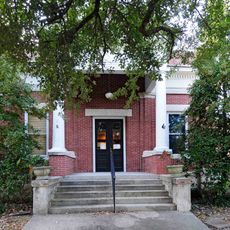
The administration office in Manning is accessible on weekdays and provides services to both residents and visitors. The area is well-connected by Interstate 95, making it easy to explore the smaller towns and rural neighborhoods throughout the county.

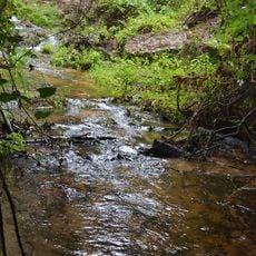
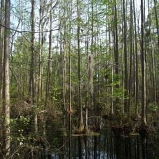
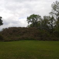
Lake Marion forms the northern boundary of the county and offers fishing and boating opportunities along its shoreline. This body of water is a defining feature that shapes both the landscape and local recreational activities.

Location: South Carolina

Inception: 1855

Capital city: Manning

Shares border with: Sumter County, Florence County, Williamsburg County, Berkeley County, Orangeburg County, Calhoun County

Website: http://clarendoncounty.sc.gov

GPS coordinates: 33.66000,-80.22000

Latest update: December 22, 2025 18:42

Photos
Around this place
United States of America

Lake Marion

22.2 km
Millford Plantation
United States of America

Millford Plantation

31 km
Poinsett State Park
United States of America

Poinsett State Park

33.8 km
United States of America

Santee State Park

29.5 km
Santee National Wildlife Refuge
United States of America

Santee National Wildlife Refuge

18.7 km
Salem Black River Presbyterian Church
United States of America

Salem Black River Presbyterian Church

30.8 km
Woods Bay State Park
United States of America

Woods Bay State Park

38.1 km
Rip Raps Plantation
United States of America

Rip Raps Plantation

27.5 km
United States of America

Swan Lake/Iris Gardens

32 km
Temple Sinai
United States of America

Temple Sinai

31.4 km
Santee Indian Mound and Fort Watson
United States of America

Santee Indian Mound and Fort Watson

24.3 km
Davis House
United States of America

Davis House

995 m
Summerton High School
United States of America

Summerton High School

12.9 km
Sumter County Courthouse
United States of America

Sumter County Courthouse

31.5 km
Lincoln High School
United States of America

Lincoln High School

31.1 km
O'Donnell House
United States of America

O'Donnell House

30.9 km
Carnegie Public Library
United States of America

Carnegie Public Library

31.3 km
Sumter Town Hall-Opera House
United States of America

Sumter Town Hall-Opera House

31.1 km
Henry Lee Scarborough House
United States of America

Henry Lee Scarborough House

31.9 km
Elizabeth White House
United States of America

Elizabeth White House

31.9 km
Sumter Historic District
United States of America

Sumter Historic District

31.1 km
J. Clinton Brogdon House
United States of America

J. Clinton Brogdon House

17.1 km
Charles T. Mason House
United States of America

Charles T. Mason House

32.8 km
United States of America

Clarkson Farm Complex

28.9 km
Goodwill Parochial School
United States of America

Goodwill Parochial School

28.8 km
United States of America

McCollum-Murray House

22.8 km
United States of America

New Market

25.2 km
Manning Library
United States of America

Manning Library

4.5 km
Show the full map
Reviews

Visited this place? Tap the stars to rate it and share your experience / photos with the community! Try now! You can cancel it anytime.

Administrative divisions
« Clarendon County - Administrative division in South Carolina, US » is provided by Around Us (aroundus.com). Images and texts are derived from Wikimedia project under a Creative Commons license. You are allowed to copy, distribute, and modify copies of this page, under the conditions set by the license, as long as this note is clearly visible.

Discover hidden gems everywhere you go!

From secret cafés to breathtaking viewpoints, skip the crowded tourist spots and find places that match your style. Our app makes it easy with voice search, smart filtering, route optimization, and insider tips from travelers worldwide. Download now for the complete mobile experience.

Around Us App Screenshot

A unique approach to discovering new places

Le Figaro

All the places worth exploring

France Info

A tailor-made excursion in just a few clicks

20 Minutes