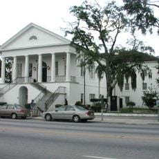
Manning, city in South Carolina, USA
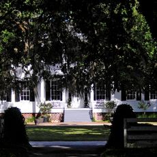
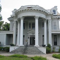
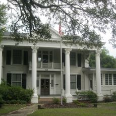
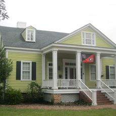
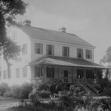
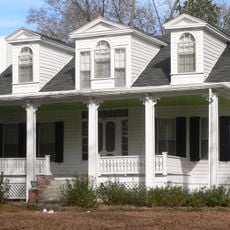
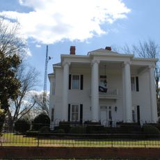
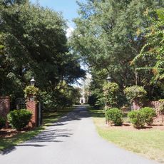
Manning is a small town in South Carolina located in Clarendon County, founded in 1855 as a county seat centered around the courthouse. The streets are wide and lined with tall oak trees, the buildings are simple brick and wood structures, and the layout creates a calm, unhurried feel throughout the community.
Manning was founded in 1855 to serve as a central courthouse location for Clarendon County in a region inhabited long before by the Santee people. During the Revolutionary War, General Francis Marion, known as the Swamp Fox, conducted guerrilla operations in the surrounding swamps that helped the Patriots gain independence.
Manning was officially founded in 1855 as a central location for the county courthouse, a purpose that shaped its early identity. Today, residents and visitors gather at local festivals, craft fairs, and community events where neighbors share food, music, and stories that reflect small-town Southern traditions.
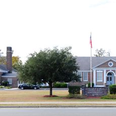
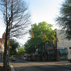
This small town is easily accessible by car and offers basic services including grocery stores, a post office, and health clinics that are simple to find along the wide, clearly laid-out streets. Getting around on foot is practical in the town center, though driving remains the best way to explore the surrounding areas.
The Old Manning Library, built in 1908, features an unusual octagonal design with a dramatic skylight inside and remains the only building in town listed on the National Register of Historic Places. Near the library stands a bronze statue honoring Amelia Bedelia, a character from children's books written by Manning-born author Peggy Parish.
The community of curious travelers
AroundUs brings together thousands of curated places, local tips, and hidden gems, enriched daily by 60,000 contributors worldwide.