Enable Location

We need your location to show you interesting places around you

Discover nearby places

Find interesting locations and hidden gems around you

Precise directions

Get accurate directions and distances to places

Your location is never shared with other users. It's only used when you tap the location button.

Fort Moultrie

Log in to your account

Start exploring — it's free

Trusted by travelers worldwide

Continue with Google
Continue with Apple
or

We will send you a code to connect

By continuing, you accept our Terms and Conditions and our Privacy Policy

Check your inbox

We've sent a pincode in your inbox. Please enter the code below.

Fort Moultrie

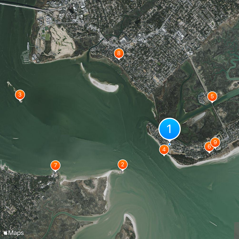
Fort Moultrie, Military fort and museum on Sullivan's Island, South Carolina, US.

Description

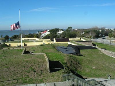
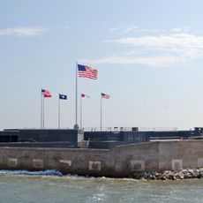
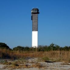
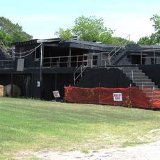
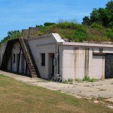
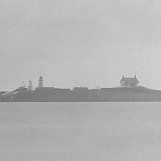
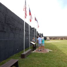
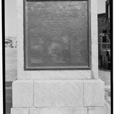
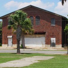
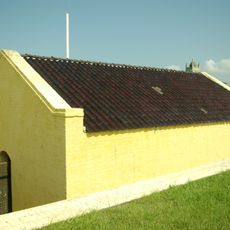
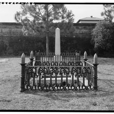
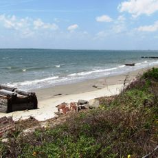
Fort Moultrie is a fortified position on Sullivan's Island in South Carolina along the Atlantic coast near Charleston. The site includes bastions from different construction phases, underground corridors, and exhibition rooms about American coastal defense.

History

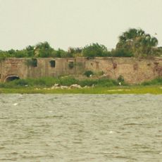
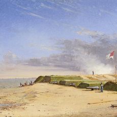
The first structure built with palmetto trunks appeared in 1776 and repelled British naval assaults, protecting Charleston from capture. Later expansions took place during the Civil War and both World Wars, when defense technology underwent fundamental changes.

Culture

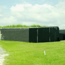
The coastal position today displays artillery emplacements from multiple eras and interpretation panels about the region's military defense story. Visitors can trace how coastal fortification technology changed over two centuries.

Practical

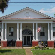
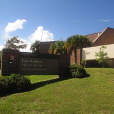
The site opens daily between nine in the morning and half past four in the afternoon and belongs to the National Park Service. Guided walks begin at the visitor center, where orientation maps and tips for exploring the grounds are available.

Did you know?

The soft palmetto trunks of the first wooden fortification absorbed British cannonballs instead of shattering, contributing significantly to the defense. This unusual building material later became the symbol of South Carolina and now appears on the state flag.

GPS coordinates
32.76037,-79.85755
Latest update
December 14, 2025 17:29

AroundUs brings together thousands of curated places, local tips, and hidden gems, enriched daily by 60,000 contributors worldwide. Discover all places nearby (Sullivan's Island).

Around this place
Fort Sumter
United States of America

Fort Sumter

1.8 km
Castle Pinckney
United States of America

Castle Pinckney

5.3 km
Fort Sumter and Fort Moultrie National Historical Park
United States of America

Fort Sumter and Fort Moultrie National Historical Park

415 m
Ben Sawyer Bridge
United States of America

Ben Sawyer Bridge

2 km
Charleston Light
United States of America

Charleston Light

1.4 km
Fort Johnson
United States of America

Fort Johnson

3.9 km
Mount Pleasant Historic District
United States of America

Mount Pleasant Historic District

3.3 km
Battery Thomson
United States of America

Battery Thomson

1.5 km
Marshlands Plantation House
United States of America

Marshlands Plantation House

4.2 km
U.S. Coast Guard Historic District
United States of America

U.S. Coast Guard Historic District

1.4 km
Battery Gadsden
United States of America

Battery Gadsden

1.7 km
Fort Sumter Range Lights
United States of America

Fort Sumter Range Lights

1.8 km
Old Berkeley County Courthouse
United States of America

Old Berkeley County Courthouse

2.8 km
Battery Jasper
United States of America

Battery Jasper

310 m
Moultrieville Historic District
United States of America

Moultrieville Historic District

161 m
Sullivan's Island Range Lights
United States of America

Sullivan's Island Range Lights

712 m
Dr. John B. Patrick House
United States of America

Dr. John B. Patrick House

1.3 km
Sullivan's Island Historic District
United States of America

Sullivan's Island Historic District

1.1 km
Osceola's tomb
United States of America

Osceola's tomb

70 m
Battery Huger
United States of America

Battery Huger

1.8 km
Fort Moultrie Visitor Center
United States of America

Fort Moultrie Visitor Center

5 m
Flagpole Monument
United States of America

Flagpole Monument

1.8 km
Garrison Monument
United States of America

Garrison Monument

1.9 km
Stella Maris Catholic Church
United States of America

Stella Maris Catholic Church

95 m
Fort Moultrie Quartermaster and Support Facilities Historic District
United States of America

Fort Moultrie Quartermaster and Support Facilities Historic District

497 m
1809 Powder Magazine
United States of America

1809 Powder Magazine

94 m
Patapsco Monument
United States of America

Patapsco Monument

73 m
Sullivan's Island Beach
United States of America

Sullivan's Island Beach

1.5 km
Show the full map
« Fort Moultrie - Military fort and museum on Sullivan's Island, South Carolina, US » is provided by Around Us (aroundus.com). Images and texts are derived from Wikimedia project under a Creative Commons license. You are allowed to copy, distribute, and modify copies of this page, under the conditions set by the license, as long as this note is clearly visible.

Discover hidden gems everywhere you go!

From secret cafés to breathtaking viewpoints, skip the crowded tourist spots and find places that match your style. Our app makes it easy with voice search, smart filtering, route optimization, and insider tips from travelers worldwide. Download now for the complete mobile experience.

Around Us App Screenshot

A unique approach to discovering new places

Le Figaro

All the places worth exploring

France Info

A tailor-made excursion in just a few clicks

20 Minutes

Around Us
Travel Guide & Maps
Download

Send to your phone

QR Code
1

Open the camera app on your mobile.

2

Point at the QR code with your camera. A notification will appear.

3

Tap the notification to open the link.