Enable Location

We need your location to show you interesting places around you

Discover nearby places

Find interesting locations and hidden gems around you

Precise directions

Get accurate directions and distances to places

Your location is never shared with other users. It's only used when you tap the location button.

Sullivan's Island

Log in to your account

Start exploring — it's free

Trusted by 61,748 travelers worldwide

Continue with Google
Continue with Apple
or

We will send you a code to connect

By continuing, you accept our Terms and Conditions and our Privacy Policy

Check your inbox

We've sent a pincode in your inbox. Please enter the code below.

Sullivan's Island, Barrier island at Charleston Harbor entrance, South Carolina, US

Description

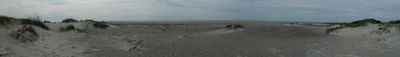
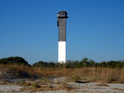
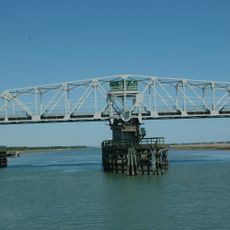
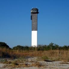
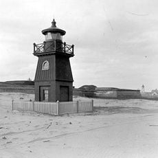
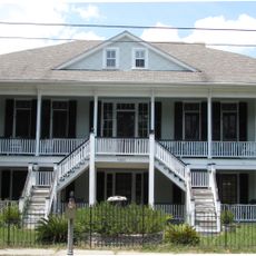
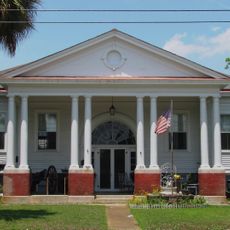
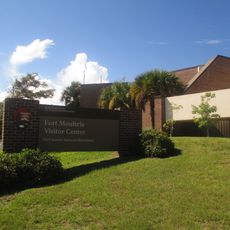
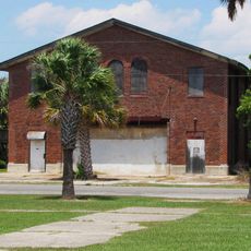
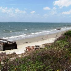
Sullivan's Island is a barrier island at the entrance to Charleston Harbor, home to about 2,000 residents spread along its shoreline. The landscape features a historic fort, old oak trees, and a relaxed coastal character with sandy beaches and maritime landmarks.

History

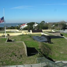
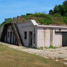
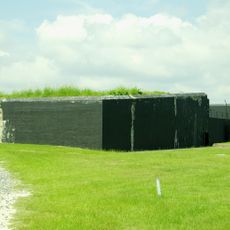
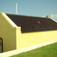
The island served as a major arrival point for enslaved Africans during the colonial period, marking a painful chapter in its past. It later became a military stronghold with fortifications that evolved over more than a century of coastal defense.

Culture

The island is named after an early settler and draws visitors who appreciate its quiet residential community built around historical sites. Residents and guests alike share a commitment to protecting the natural environment and maritime heritage that define daily life here.

Practical

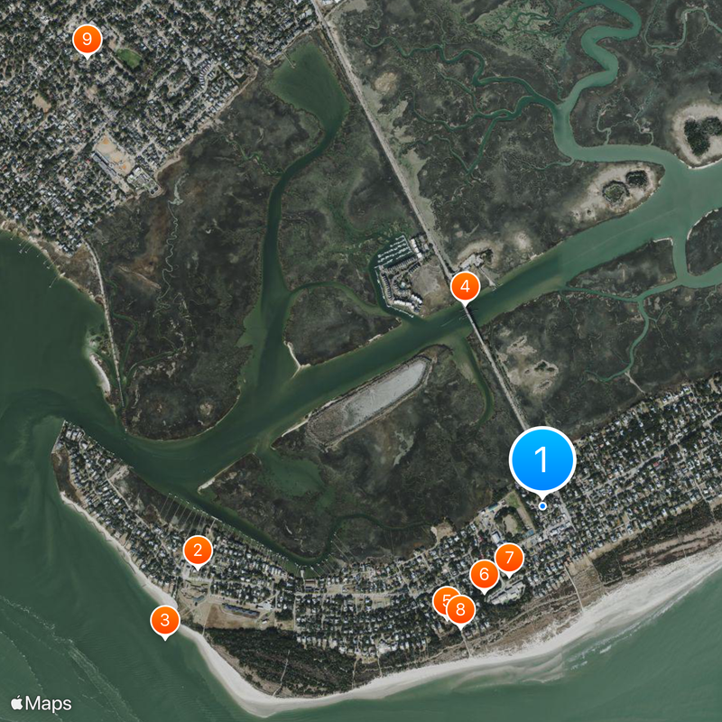
The island is easily accessible by car and features a wide walking path along the waterfront for exploration. Visitors should plan their trip for warmer months and be prepared for changeable weather, especially during hurricane season.

Did you know?

Writer Edgar Allan Poe was briefly stationed here in the 1820s and later drew literary inspiration from island and confinement themes in his work. This period influenced some of his more well-known stories.

GPS coordinates
32.76333,-79.83778
Latest update
December 14, 2025 17:37

AroundUs brings together thousands of curated places, local tips, and hidden gems, enriched daily by 60,000 contributors worldwide. Discover all places nearby (Charleston County).

Around this place
Fort Moultrie
United States of America

Fort Moultrie

1.9 km
Fort Sumter and Fort Moultrie National Historical Park
United States of America

Fort Sumter and Fort Moultrie National Historical Park

2.1 km
Ben Sawyer Bridge
United States of America

Ben Sawyer Bridge

1.2 km
Charleston Light
United States of America

Charleston Light

791 m
Battery Thomson
United States of America

Battery Thomson

555 m
Battery Gadsden
United States of America

Battery Gadsden

412 m
U.S. Coast Guard Historic District
United States of America

U.S. Coast Guard Historic District

786 m
Old Berkeley County Courthouse
United States of America

Old Berkeley County Courthouse

3.4 km
Battery Jasper
United States of America

Battery Jasper

1.7 km
Moultrieville Historic District
United States of America

Moultrieville Historic District

2 km
Sullivan's Island Range Lights
United States of America

Sullivan's Island Range Lights

1.6 km
Dr. John B. Patrick House
United States of America

Dr. John B. Patrick House

656 m
Sullivan's Island Historic District
United States of America

Sullivan's Island Historic District

881 m
United States of America

Atlanticville Historic District

540 m
United States of America

Fort Moultrie Torpedo Storehouse

1.9 km
Osceola's tomb
United States of America

Osceola's tomb

1.9 km
Fort Moultrie Visitor Center
United States of America

Fort Moultrie Visitor Center

1.9 km
United States of America

Battery Bingham

1.9 km
United States of America

Post Theatre

1.5 km
Fort Moultrie Quartermaster and Support Facilities Historic District
United States of America

Fort Moultrie Quartermaster and Support Facilities Historic District

1.4 km
United States of America

Cannon Row

1.9 km
Stella Maris Catholic Church
United States of America

Stella Maris Catholic Church

2 km
1809 Powder Magazine
United States of America

1809 Powder Magazine

1.9 km
Patapsco Monument
United States of America

Patapsco Monument

1.9 km
United States of America

Battery McCorkle

1.9 km
Sullivan's Island Beach
United States of America

Sullivan's Island Beach

883 m
United States of America

1808 Ion Ave.

800 m
United States of America

Cannon 16

2 km
Show the full map
« Sullivan's Island - Barrier island at Charleston Harbor entrance, South Carolina, US » is provided by Around Us (aroundus.com). Images and texts are derived from Wikimedia project under a Creative Commons license. You are allowed to copy, distribute, and modify copies of this page, under the conditions set by the license, as long as this note is clearly visible.

Discover hidden gems everywhere you go!

From secret cafés to breathtaking viewpoints, skip the crowded tourist spots and find places that match your style. Our app makes it easy with voice search, smart filtering, route optimization, and insider tips from travelers worldwide. Download now for the complete mobile experience.

Around Us App Screenshot

A unique approach to discovering new places

Le Figaro

All the places worth exploring

France Info

A tailor-made excursion in just a few clicks

20 Minutes

Around Us
Travel Guide & Maps
Download

Send to your phone

QR Code
1

Open the camera app on your mobile.

2

Point at the QR code with your camera. A notification will appear.

3

Tap the notification to open the link.