Dillon County

Log in to your account

AroundUs is a community-driven map of interesting places, built by curious explorers like you. It grows with every review, story, and photo you share.
Connect to save your favorite spots, contribute locations, and create personalized routes.
Continue with Google
Continue with Apple
Continue with X
Continue with Facebook
Continue with email
By continuing, you accept our Terms and Conditions and our Privacy Policy
Create an account
Add to collection
Map
Suggest a change
Share

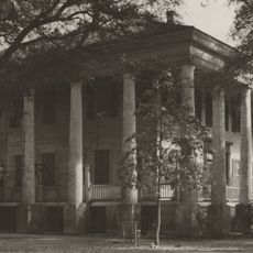
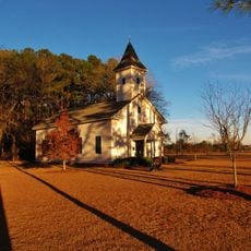
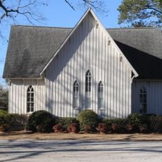
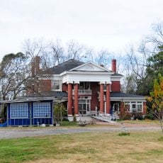
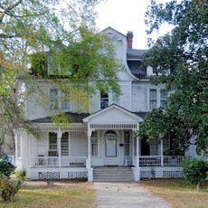
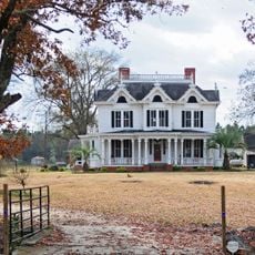
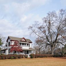
Dillon County, Administrative county in South Carolina, United States

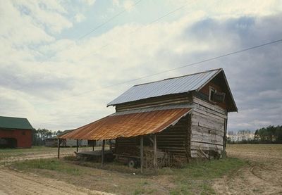
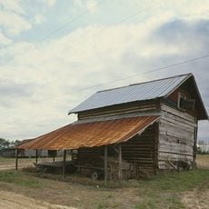
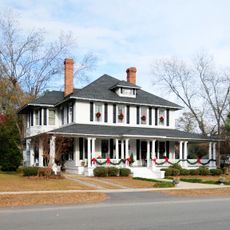
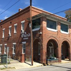
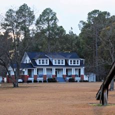
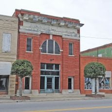
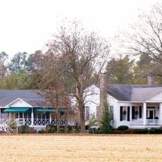
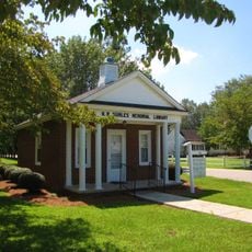
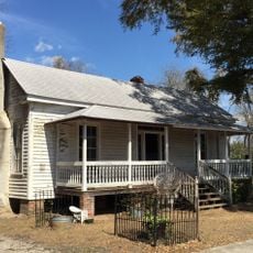
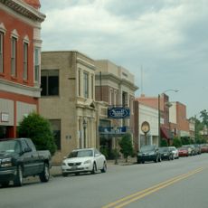
Dillon County is an administrative area in South Carolina with a mix of farmland, small towns, and transportation corridors running through it. The region combines rural traditions with modern roads that continuously connect people and goods.

The county was created in 1910 by separating from Marion County to better govern the growing population. The railroad played a key role in early growth and continues to shape the area today.

The name comes from James W. Dillon, a local businessman who promoted railroad expansion. Today, the people here shape the region through their diverse backgrounds and connection to both rural and urban life.

Interstate 95 and US Highway 301 run through the county and allow quick travel to other regions. Visitors should have a car since public transit is limited and destinations are spread out.

The Dillon Motor Speedway draws racing fans to regular events, while Little Pee Dee State Park attracts nature lovers with lakes and trails. Together, these two places offer a rare mix of motorsport and outdoor experience in the same area.

Location: South Carolina

Inception: 1910

Capital city: Dillon

Shares border with: Robeson County, Columbus County, Horry County, Marion County, Florence County, Marlboro County

Website: http://dilloncounty.org

GPS coordinates: 34.39000,-79.38000

Latest update: December 7, 2025 20:20

Photos
Around this place
South of the Border
United States of America

South of the Border

13.6 km
Smith Tobacco Barn
United States of America

Smith Tobacco Barn

12.8 km
Cotton Press
United States of America

Cotton Press

14.4 km
Rankin-Harwell House
United States of America

Rankin-Harwell House

27.8 km
Marion High School
United States of America

Marion High School

22.9 km
Clio Historic District
United States of America

Clio Historic District

26 km
Ashpole Presbyterian Church
United States of America

Ashpole Presbyterian Church

18.9 km
Dillon County Courthouse
United States of America

Dillon County Courthouse

3.2 km
St. Paul's Methodist Church
United States of America

St. Paul's Methodist Church

9.9 km
Dillon Downtown Historic District
United States of America

Dillon Downtown Historic District

7.6 km
James W. Dillon House
United States of America

James W. Dillon House

3.2 km
Centenary Methodist Church
United States of America

Centenary Methodist Church

16.4 km
Christ Episcopal Church
United States of America

Christ Episcopal Church

23.8 km
Hamer Hall
United States of America

Hamer Hall

11.8 km
Latta Historic District No. 1
United States of America

Latta Historic District No. 1

7.4 km
James W. Hamer House
United States of America

James W. Hamer House

9.3 km
McMillan House
United States of America

McMillan House

7.8 km
McLaurin House
United States of America

McLaurin House

25.7 km
McLaurin-Roper-McColl Farmstead
United States of America

McLaurin-Roper-McColl Farmstead

30.4 km
Latta Historic District No. 2
United States of America

Latta Historic District No. 2

7.4 km
Mullins Commercial Historic District
United States of America

Mullins Commercial Historic District

23.7 km
John Hayes Farmstead
United States of America

John Hayes Farmstead

14.5 km
Rowland Main Street Historic District
United States of America

Rowland Main Street Historic District

18.2 km
Selkirk Farm
United States of America

Selkirk Farm

14.3 km
W.R. Surles Memorial Library
United States of America

W.R. Surles Memorial Library

32.9 km
J.C. Teasley House
United States of America

J.C. Teasley House

23.3 km
Lumbee Tribe Cultural Center
United States of America

Lumbee Tribe Cultural Center

35.8 km
Marion Historic District
United States of America

Marion Historic District

23.7 km
Show the full map
Reviews

Visited this place? Tap the stars to rate it and share your experience / photos with the community! Try now! You can cancel it anytime.

Administrative divisions
« Dillon County - Administrative county in South Carolina, United States » is provided by Around Us (aroundus.com). Images and texts are derived from Wikimedia project under a Creative Commons license. You are allowed to copy, distribute, and modify copies of this page, under the conditions set by the license, as long as this note is clearly visible.

Discover hidden gems everywhere you go!

From secret cafés to breathtaking viewpoints, skip the crowded tourist spots and find places that match your style. Our app makes it easy with voice search, smart filtering, route optimization, and insider tips from travelers worldwide. Download now for the complete mobile experience.

Around Us App Screenshot

A unique approach to discovering new places

Le Figaro

All the places worth exploring

France Info

A tailor-made excursion in just a few clicks

20 Minutes