Chest opened
+${chestReward.xp} XP
Explorer
NOUVEAU ×${chestReward.collectible.quantity}
tapez pour fermer

See the monuments around you in AR Open chests in the app

Around Us is built for your phone — point your camera at the streets and discover the monuments and places around you in augmented reality. Around Us is built for your phone — chests unlock when you walk, explore and capture nearby places.

Enable Location

We need your location to show you interesting places around you

Discover nearby places

Find interesting locations and hidden gems around you

Precise directions

Get accurate directions and distances to places

Your location is never shared with other users. It's only used when you tap the location button.

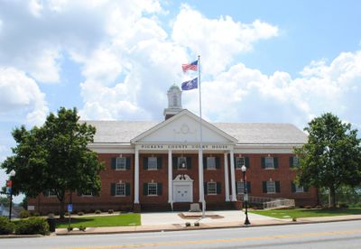
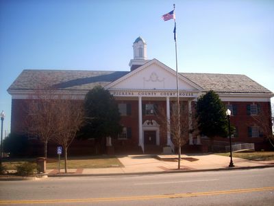
Pickens County

Log in to your account

Start exploring — it's free

Trusted by 86,019 travelers worldwide

Continue with Google
Continue with Apple
or

We will send you a code to connect

By continuing, you accept our Terms and Conditions and our Privacy Policy

Check your inbox

We've sent a pincode in your inbox. Please enter the code below.

Discussion Reviews 1 Photos
31.9k Popularity

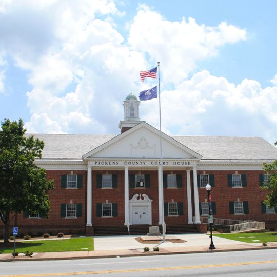
Pickens County, Administrative county in northwestern South Carolina, US

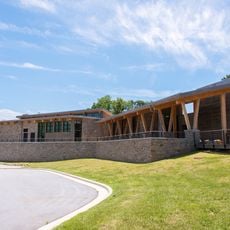
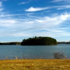
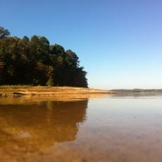
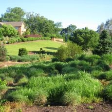
Pickens County is an administrative division in northwestern South Carolina covering rolling terrain with extensive forest coverage and river systems. The county spans multiple municipalities and unincorporated communities connected by highways and rural roads.

The county was established in 1826 and named after General Andrew Pickens, a Revolutionary War leader from the region. It developed on lands previously inhabited by Cherokee peoples who had lived there for generations.

The county holds regular community recognition programs, including the Pinnacle Citizen Award that acknowledges residents for their contributions to local development.

Schools, libraries, and public facilities are distributed throughout the region for resident use. Main highway corridors connect different parts of the county, making navigation straightforward for visitors.

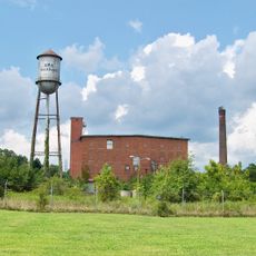
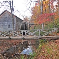
Hagood Mill, a structure from 1845, contains ancient Cherokee rock carvings discovered within its grounds. The site now operates as a heritage location offering visitors insight into early industrial and Native American history.

The community of curious travelers

AroundUs brings together thousands of curated places, local tips, and hidden gems, enriched daily by 60,000 contributors worldwide.
Start exploring
Location
Inception
1826
Capital city
Pickens
Shares border with
Transylvania County, Anderson County, Greenville County, Oconee County
GPS coordinates
34.84662,-82.71006
Latest update
September 12, 2026 07:05
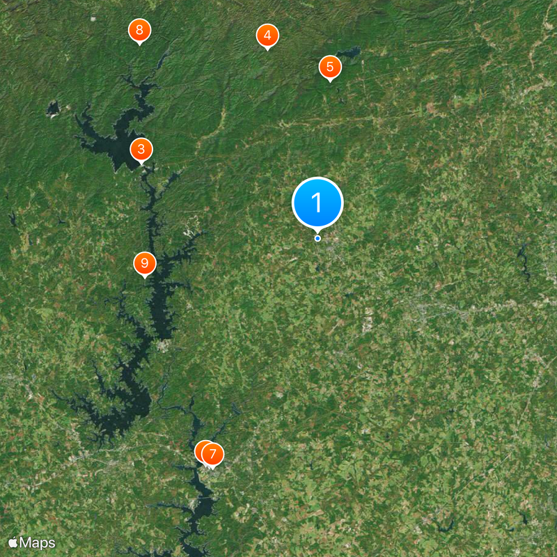
Around this place
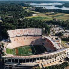
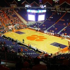
Memorial Stadium, Clemson
United States of America

Memorial Stadium, Clemson

13.9 mi
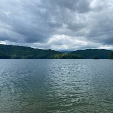
Lake Jocassee
United States of America

Lake Jocassee

14.2 mi
Sassafras Mountain
United States of America

Sassafras Mountain

15.6 mi
Table Rock State Park
United States of America

Table Rock State Park

13.1 mi
Littlejohn Coliseum
United States of America

Littlejohn Coliseum

13.9 mi
Fort Hill
United States of America

Fort Hill

13.8 mi
Gorges State Park
United States of America

Gorges State Park

19.5 mi
Keowee
United States of America

Keowee

11.7 mi
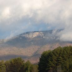
Pinnacle Mountain
United States of America

Pinnacle Mountain

13.1 mi
Clemson Experimental Forest
United States of America

Clemson Experimental Forest

12.7 mi
South Carolina Botanical Garden
United States of America

South Carolina Botanical Garden

13.6 mi
United States of America

Glassy Mountain

4.7 mi
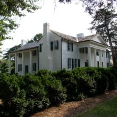
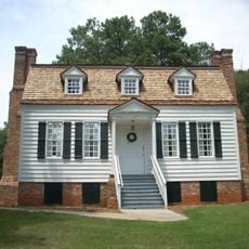
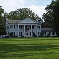
Hanover House
United States of America

Hanover House

13.4 mi
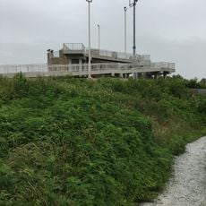
Hagood Mill
United States of America

Hagood Mill

5.6 mi
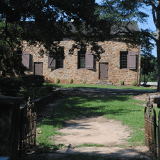
Old Stone Church and Cemetery
United States of America

Old Stone Church and Cemetery

14 mi
Clemson College Sheep Barn
United States of America

Clemson College Sheep Barn

13.6 mi
President's House
United States of America

President's House

13.5 mi
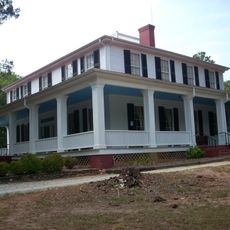
Ashtabula
United States of America

Ashtabula

11.9 mi
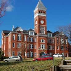
Clemson University Historic District I
United States of America

Clemson University Historic District I

13.5 mi
United States of America

Walker Golf Course

14.5 mi
United States of America

Clemson University Historic District II

13.8 mi
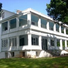
Woodburn
United States of America

Woodburn

15.1 mi
Pendleton Historic District
United States of America

Pendleton Historic District

14.2 mi
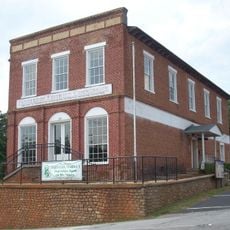
Easley Mill
United States of America

Easley Mill

6 mi
Lee and Lowry Hall
United States of America

Lee and Lowry Hall

13.9 mi
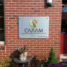
Clemson Area African American Museum
United States of America

Clemson Area African American Museum

12.8 mi
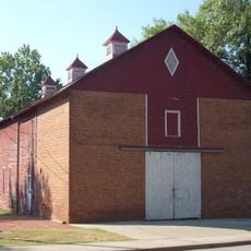
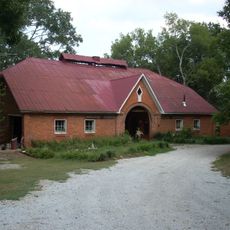
J. C. Stribling Barn
United States of America

J. C. Stribling Barn

13.3 mi
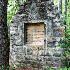
Table Rock Civilian Conservation Corps Camp Site
United States of America

Table Rock Civilian Conservation Corps Camp Site

12.1 mi
Show the full map
Reviews
Share your experience

No review yet

Discussions
Start a discussion...

No discussion yet

Administrative divisions
« Pickens County - Administrative county in northwestern South Carolina, US » is provided by Around Us (aroundus.com). Images and texts are derived from Wikimedia project under a Creative Commons license. You are allowed to copy, distribute, and modify copies of this page, under the conditions set by the license, as long as this note is clearly visible.

Discover hidden gems everywhere you go!

From secret cafés to breathtaking viewpoints, skip the crowded tourist spots and find places that match your style. Our app makes it easy with voice search, smart filtering, route optimization, and insider tips from travelers worldwide. Download now for the complete mobile experience.
Around Us App Screenshot

A unique approach to discovering new places

Le Figaro

All the places worth exploring

France Info

A tailor-made excursion in just a few clicks

20 Minutes

Around Us
Travel Guide & Maps
Download

Send to your phone

QR Code
1

Open the camera app on your mobile.

2

Point at the QR code with your camera. A notification will appear.

3

Tap the notification to open the link.