Gorges State Park, State park in Sapphire Valley, North Carolina, US.
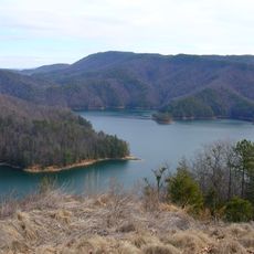
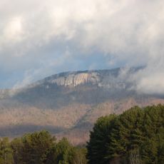
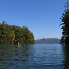
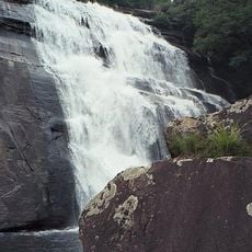
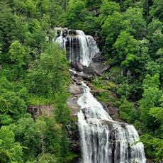
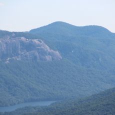
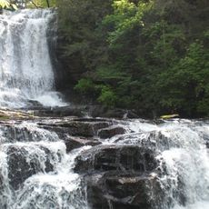
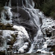
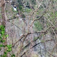
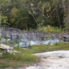
Gorges State Park is a protected area in North Carolina covering thousands of acres of mountain forest with deep gorges, steep drops, and multiple waterfalls. The landscape is crisscrossed by hiking trails that connect different scenic points through varied terrain.
The land remained in private ownership until 1999 when North Carolina acquired it and established protection measures. The main purpose was to safeguard local water resources and preserve the natural ecosystems.
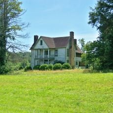
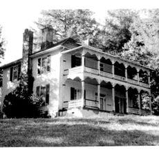
Native American tribes of the region maintained settlements near water sources within the current park boundaries before European colonization reached these mountains.
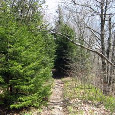
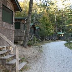
The park maintains more than 30 kilometers of marked trails ranging from easy to challenging for different fitness levels. Visitors should come prepared with sturdy footwear and water, as the mountain terrain requires good physical condition.
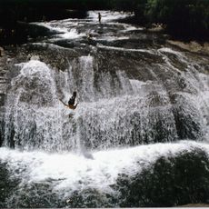
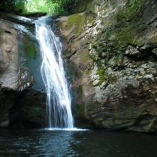
Rainbow Falls within the park drops about 150 feet and creates a persistent mist below. Visitors who arrive during sunny mornings often see rainbow patterns formed by light passing through the spray.
The community of curious travelers
AroundUs brings together thousands of curated places, local tips, and hidden gems, enriched daily by 60,000 contributors worldwide.