Ellicott Rock Wilderness, Protected wilderness area at South Carolina, Georgia, and North Carolina borders, United States.
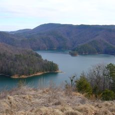
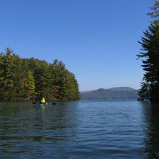
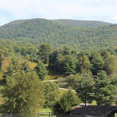
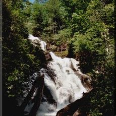
Ellicott Rock Wilderness is a protected forest area where South Carolina, North Carolina, and Georgia meet in the southern Blue Ridge Mountains. The land features thick woods, steep hillsides, and narrow valleys carved by the Chattooga River.
Surveyor Andrew Ellicott carved letters into a rock in 1811 to mark the boundary between Georgia and North Carolina. This marked stone became significant as states formally defined their territorial lines in the early 1800s.
The boundary stones scattered throughout preserve how surveyors marked state lines by hand in the early 1800s. These markings still stand today and show visitors how people established political borders in the remote mountains before modern technology.
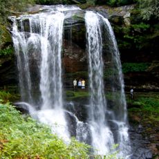
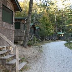
The area is accessible through about 18 miles of marked hiking trails, most beginning from South Carolina entry points. Visitors should prepare for rough terrain and stream crossings throughout their time in the wilderness.
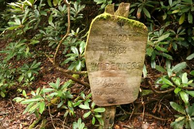
Three different national forests meet at this wilderness: Sumter, Nantahala, and Chattahoochee each protect portions of the land. This convergence of three separate conservation zones creates an unusual protected landscape in the Southeast.
The community of curious travelers
AroundUs brings together thousands of curated places, local tips, and hidden gems, enriched daily by 60,000 contributors worldwide.